Spring-like...
If you were up early you know it was a little wild...downpours and gusty wind...but it's much quieter now as the first of two cold fronts has cleared the coast. The air behind the first front is dry and warm and this afternoon will be a sweet one with highs between 65-70 degrees but this Spring-like feel won't last much longer as the second cold front sweeps through temps will drop.
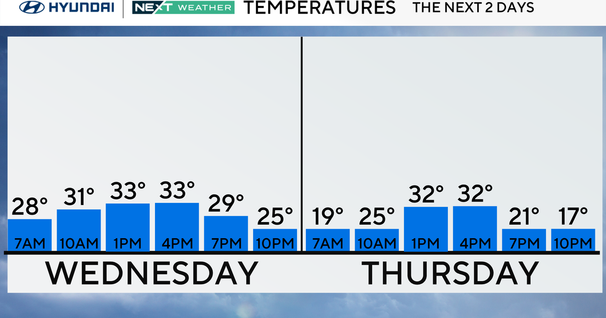
Front number two will swing through early tomorrow morning with some puffy clouds and another cold blast keeping highs in the lower 40s for the middle of the week. High pressure will be in charge and that will keep storms away through the rest of the work week.
By the end of the week however, a big clash between very cold and mild air will take place over New England and this will aid in the development of a storm system on Saturday that may track to our allowing for enough cold to work in change chilly raindrops to snowflakes or mixed precip...something to watch for over the next few days.


