Solid Soaking...
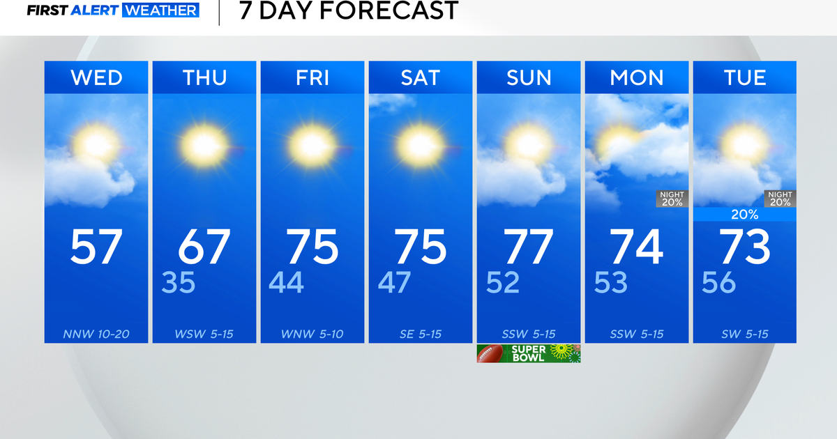
Muggy southerly flow took over today and moisture levels are rising. High pressure to the East and a coldfront closing in from the West will squeeze that moisture out over the next 24 hours. The rain is inching east after spending most of the day in the Berks...it's now overspreading the rest of the State and will be steady and soaking later tonight and tomorrow morning. The heaviest of the rain will fall in Western MA as the system is expected to weaken on it's approach but still amounts of a half an inch to around an inch is very possible.. There isn't much to push this front along in fact, an area of low pressure will form along it to our south to slow it down even further. Thus, tomorrow will stay wet through the entire morning and probably through at least the first half of the afternoon.
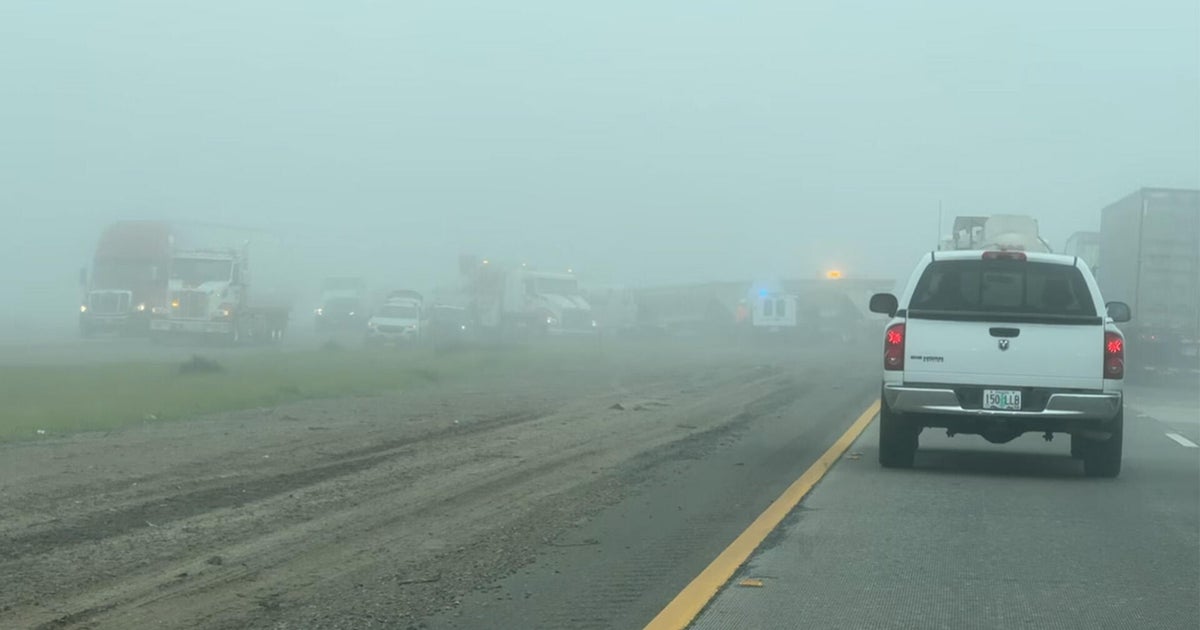
High pressure will slide in following the frontal passage but it will be centered and anchored to our north. This will keep us with onshore flow and low level moisture will end up getting trapped close to the surface leading to fog, drizzle and low clouds tomorrow night through Thursday midday. Following that, inland areas should start burning into sunshine and climb into the lower 70s while the coast will struggle to break into sun and hitting 70.
That high isn't expected to move much Friday through Sunday which means the coast will be on the chilly side at times and may flirt with fog / low cloud banks but it's not all bad news for the coast. High pressure will keep us rain-free for an extended period...well past the weekend!
