Soaked...
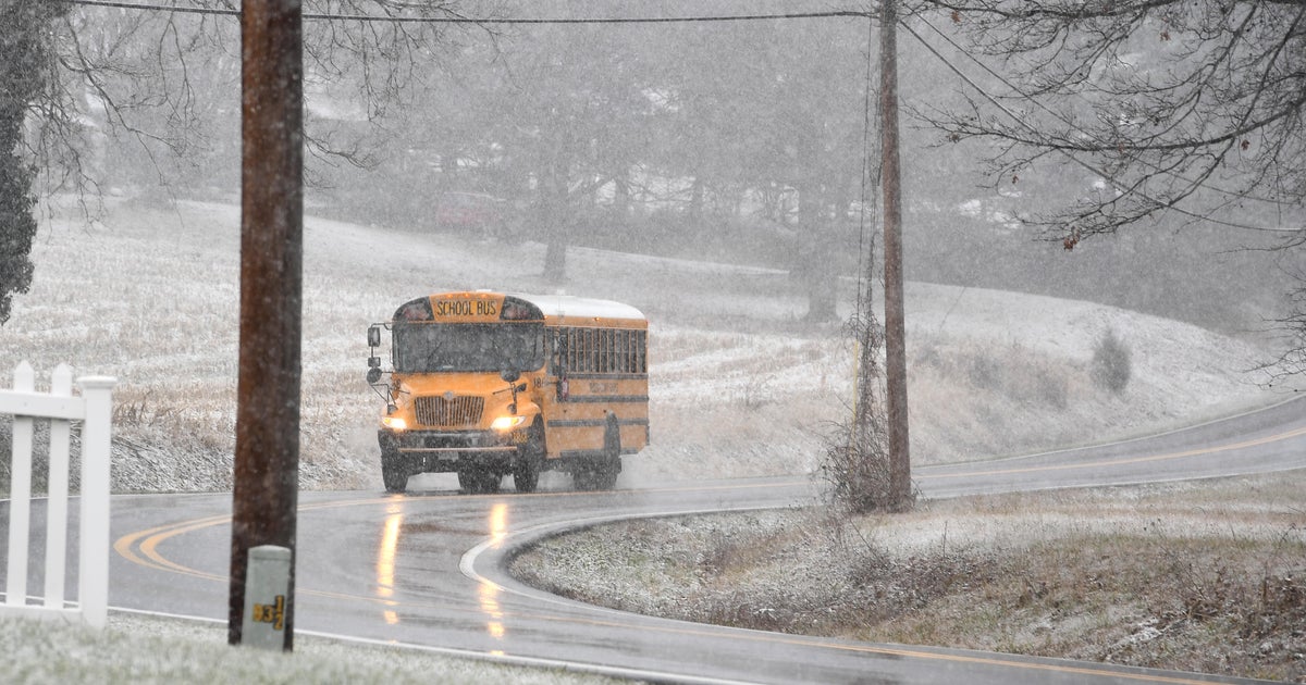
That was an ugly day with rain from start to finish and that rain is ongoing this evening and it's heavy in spots. Cool, moist air at the surface is locked into Southern New England with persistent NE flow. A storm system is entering the Northeast and won't exit until later tonight. Ahead of that storm very warm and moisture loaded air is flowing up from the SE US. That air is riding up and over the cooler air present in New England and that process is leading to very heavy downpours. Rain amounts have already exceeded one inch in some spots and could exceed two inches in a few! The heaviest of the rain will occur before midnight, associated with a vort max rotating around a longer wave cut-off midlevel low. Due to the shortwave, there is a chance for some thunder in these downpours, especially along the South Coast.
The shortwave and surface low will be sliding east of us by morning and the steady, heavier rain will be gone. With that said, it's not all that good...cool NE flow won't quit and that will lock in low level moisture leading to low clouds, fog, mist and drizzle...a cold, raw day to start the weekend with highs again struggling to get to 60.
On Sunday the mid-level cut-off low will spin a bit closer to us. We will start the day locked in with clouds again but the clouds may thin a bit during the midday. With brighter skies comes slightly warmer temps in the mid 60s,..that along with the lift supplied by the cut-off low, pop-up showers will be possible during the midday and early afternoon. The cut-off low will lift out Sunday night, a trailing coldfront will swing through early Monday morning with a passing showers or downpour then the sun will develop for the majority of the day...finally!
A chilly airmass will be pooling over the Great Lakes early next week and a very warm, moist airmass will be trying to work northward from the SE US at that time as well. Where they meet will be a breeding ground for storms and rain...that location appears now to be up the Appalacians and into the Northeast...another solid soaker will likely occur Tuesday into Wednesday. There will be a chance for thunderstorms with the system as well.


