Snow Totals – Who Has The Most From January 17 Storm
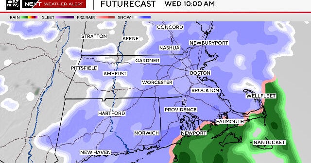
BOSTON (CBS) – A widespread plowable snow was forecast for Wednesday morning across most of southern New England.
Boston got just 1.7 inches as most of the snow fell in western Massachusetts.
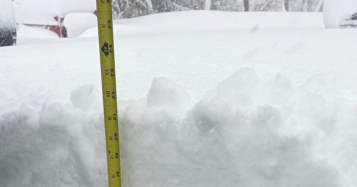
Here are the latest snowfall totals from the National Weather Service, Rob Macedo, the SKYWARN Coordinator for the National Weather Service in Taunton, and WBZ-TV Weather Watchers.
| New Ashford | 9.0" |
| Chesterfield | 7.0" |
| Colrain | 7.0" |
| Plainfield | 6.5" |
| Chester | 6.5" |
| Westhampton | 6.0" |
| Heath | 6.0" |
| Cummington | 6.0" |
| Ashfield | 5.5" |
| Huntington | 5.3" |
| Haverhill | 5.0" |
| Westfield | 5.0" |
| Ayer | 4.8" |
| Dracut | 4.8" |
| Methuen | 4.5" |
| Easthampton | 4.5" |
| Russell | 4.5" |
| Lunenburg | 4.2" |
| Holden | 4.0" |
| Deerfield | 4.0" |
| Carlisle | 3.9" |
| Boylston | 3.9" |
| Orleans | 3.5" |
| Chelmsford | 3.5" |
| Tyngsboro | 3.5" |
| Athol | 3.5" |
| Nashua, NH | 3.5" |
| Worcester | 3.3" |
| Brewster | 3.3" |
| Groton | 3.1" |
| Littleton | 3.0" |
| Fitchburg | 3.0" |
| Marlborough, NH | 3.0" |
| Erving | 3.0" |
| Harwich | 3.0" |
| Boston | 1.7" |
