Snow Storms Update: Round One Underway
BOSTON (CBS) – The mid-day models are in and show a warmer solution for Wednesday's storm.
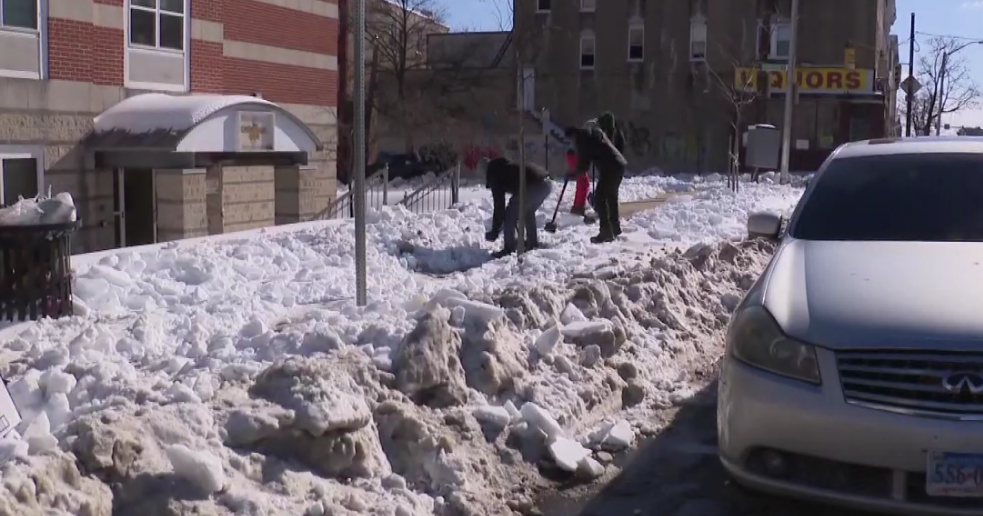
View: Readers' Snow Photo Gallery
The rain and snow mix line will be coming farther north, quicker. So we have cut down on snow totals south of Route 2 tomorrow.
There could be a good deal of sleet and rain south of Route 2 Wednesday and this will present a different set of problems altogether, weighing down on the snow from today on roofs.
Watch Melissa Mack and Joe Joyce's forecast
As for today's snow, it will be steady and moderate-to-heavy through 3 p.m. then begin to taper off during the afternoon commute.
The totals at this point range from 3-to-7 inches and widespread 6-to-9 inches everywhere by late afternoon.
STORM TWO
Start Time: 4-to-5 a.m. Wednesday
End Time: 4-to-5 p.m. Wednesday, lighter snow may continue through midnight but just an inch or two accumulation
Precipitation Type: Mainly snow north of Route 2. Snow and icy mix near Route 2 south to the Massachusetts Turnpike. Snow to ice to rain for southeastern Mass. southward to Cape Cod and along the immediate coastline (including Boston).
Snow Amounts: 6-to-9 inches north of the Pike, 9-to-12 inches in northern Mass (N. Worcester, N. Middlesex and SW New Hampshire). 3-to-6 inches from Boston to Providence. 1-to-3 inches South Shore to Plymouth. The jackpot is in New Hampshire and Vermont - 12 inches+.
Commute(s) affected: Wednesday morning and Wednesday evening (BIG TIME), Thursday morning (cleanup).
Other Concerns: Tides are just a minor concern. High tides are at 10:30 a.m. and 11 p.m. Wednesday, only minor splash over and flooding, winds gusty (25-to-50 mph) at the coast during Wednesday.