Beyond The Forecast: Over A Foot Of Snow Possible From Tuesday Nor'easter
BOSTON (CBS) -- Spring is still 9 days away, right? Just checking--because we're tracking a significant coastal storm that will impact the Mid-Atlantic and Northeast Monday night through part of Wednesday with heavy snow, damaging wind gusts, and coastal flooding. Let's outline what we know right now:
This storm has a classic setup. Strong northern stream energy digging into the Midwest and moisture from a southern disturbance coming out of the Gulf of Mexico will combine & develop into a strengthening storm center off the Carolina coast. The energy for this storm is located in the Pacific right now, and will come ashore in the Pacific Northwest tonight. In other words, it's still a ways away. Once it comes over land, our guidance should start to get a better handle on what we'll be dealing with here at home.
Unlike much of this winter, the storm will have access to plenty of cold air and follow some of the coldest weather of the winter here in New England.
The biggest question is how quickly the storm will strengthen and how close it will come to the coast. That will determine how far west the snow shield will extend, whether or not we'll flip to rain at the coast, and of course how strong the wind gusts will be–which will have implications on the severity of coastal flooding.
A few more details (which will need to be fine-tuned over the next 2-3 days):
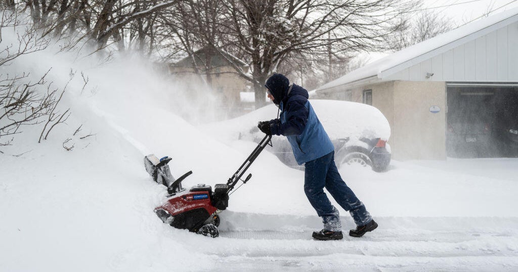
Snow will likely break out in New England on Tuesday morning and ramp up in intensity through the day. If the storm tracks closer to the coast, we could start as accumulating snow at the coast and then flip over to rain. If the low takes a track closer to Nantucket or just south and east of the Island, we'd be talking an all snow scenario. How much snow? While it's way too early to give exact amounts, over a foot of snow is possible for much of the region.
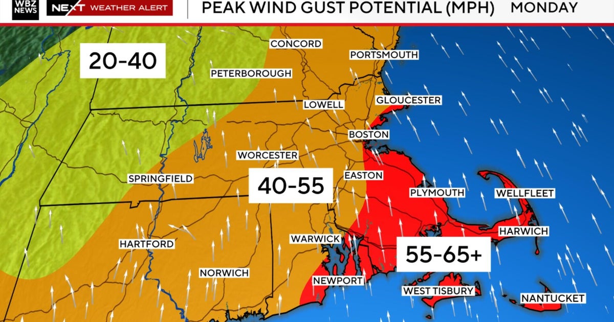
The wind will be strongest at the coast, where gusts 40-50 mph are likely, and isolated damage would result. That combined with the heavy snow could result in blizzard conditions across parts of southern New England.
The wind is also going to whip up our seas and the onshore flow will result in areas of minor coastal flooding and beach erosion during the Tuesday afternoon and late Tuesday night high tide cycles. Some pockets of moderate coastal flooding can't be ruled out either.
The big 'TBD,' of course, is the exact track of the storm–which we'll be pinpointing down in the next couple of days. So stay tuned to WBZ on air and online for important updates!
-Danielle
