Snow Likely To Impact Friday Morning Commute
BOSTON (CBS) – Attention morning commuters - your first official driving test of the season, courtesy Mother Nature, is coming Friday morning.
Break out the snow brushes, the driving gloves and the winter boots, it's about to get real.
Download: CBS Boston Weather App
It's not a nor'easter or a blockbuster storm and thankfully it will be nothing like the storm that many in the Midwest experienced just a few days ago. The timing of our first widespread snow accumulation, however, is just enough to make things interesting.
Timeline
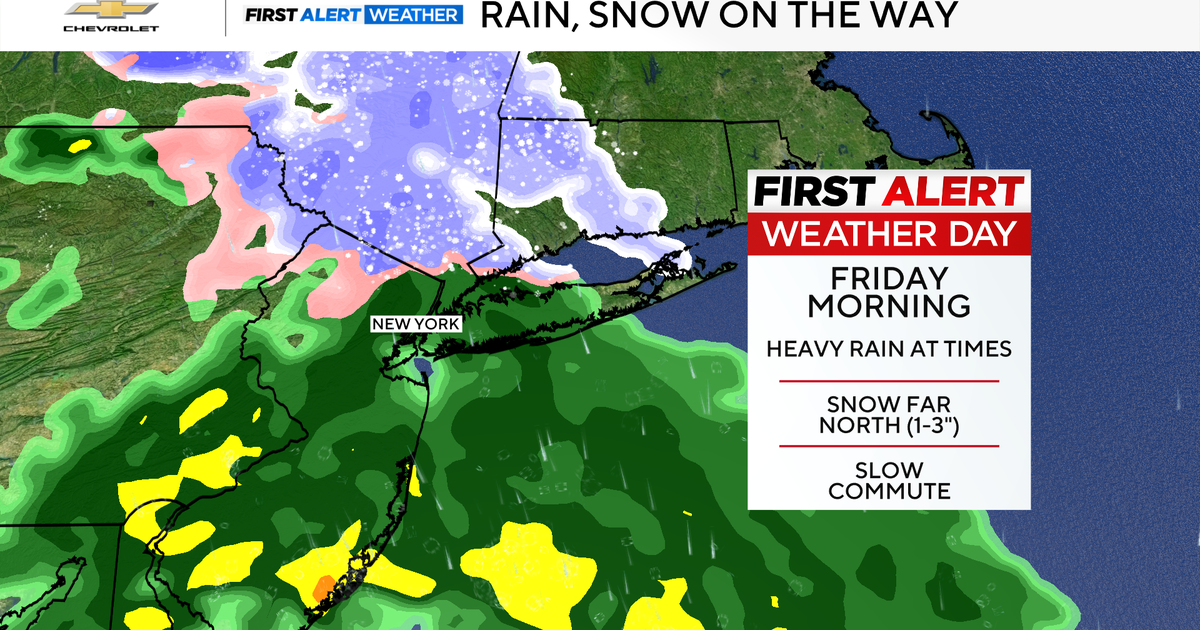
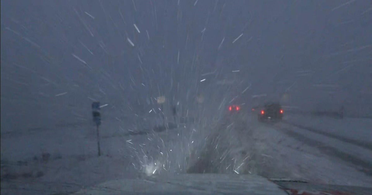
Precipitation will begin tonight after 7 p.m. Thursday as light rain showers in eastern Massachusetts and some light mixed rain and snow in central Massachusetts. As temperatures continue to plunge it will quickly turn to all snow in Worcester County and in the suburbs north and west of Boston.
It'll take a little longer in Eastern Massachusetts and in the city of Boston but shortly after midnight any rain showers will be changing over to all snow in the city. The changeover will happen last in southeastern Massachusetts, between 4-6 a.m.
Cape Cod and the islands will see very little snow, perhaps just a few flakes as the storm is wrapping up Friday mid-morning. This is a fairly quick shot of snow. It will already be tapering off in the Worcester Hills around 6-7 a.m. and in Boston between 8-9 a.m. By Noon on Friday the rain and snow will be long gone, out to sea and some glimpses of sun will be emerging.
How Much?
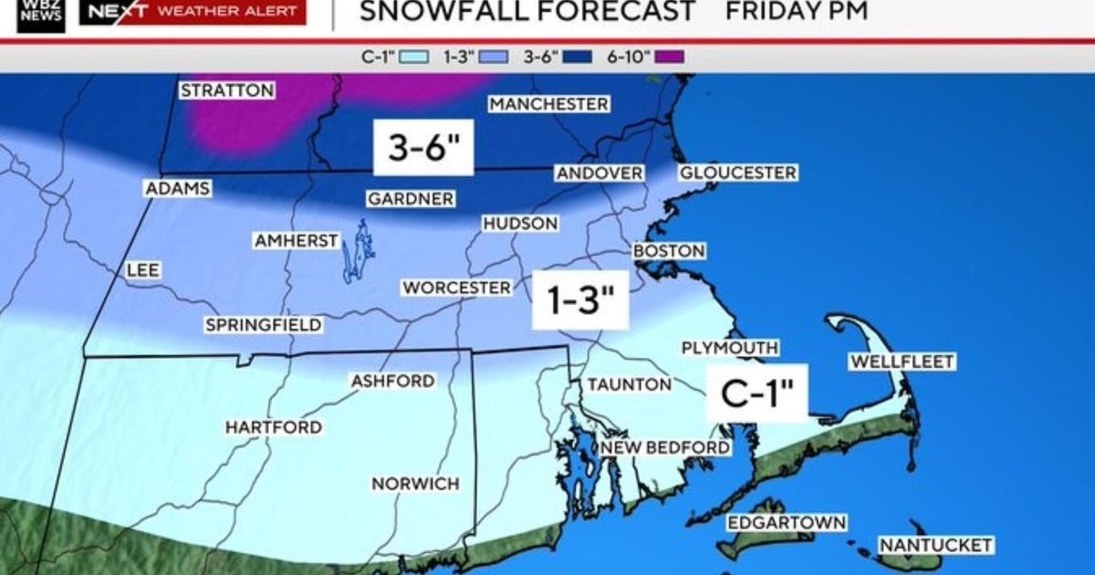
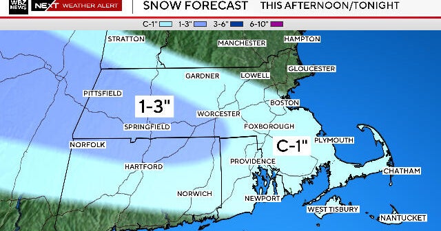
Just about everybody north and west of the Cape Cod Canal should see some minor snow accumulation on Friday. Areas close to the coast, including Boston, and all of southeastern Massachusetts will get about a coating to an inch of snow.
Just to the north and west of the city including a good portion of Norfolk, Middlesex, Essex and Worcester Counties, about 1 to 2 inches of snow is likely. If this snow should reach its full potential, there could be some isolated totals of 3 to 4 inches in a few locations.
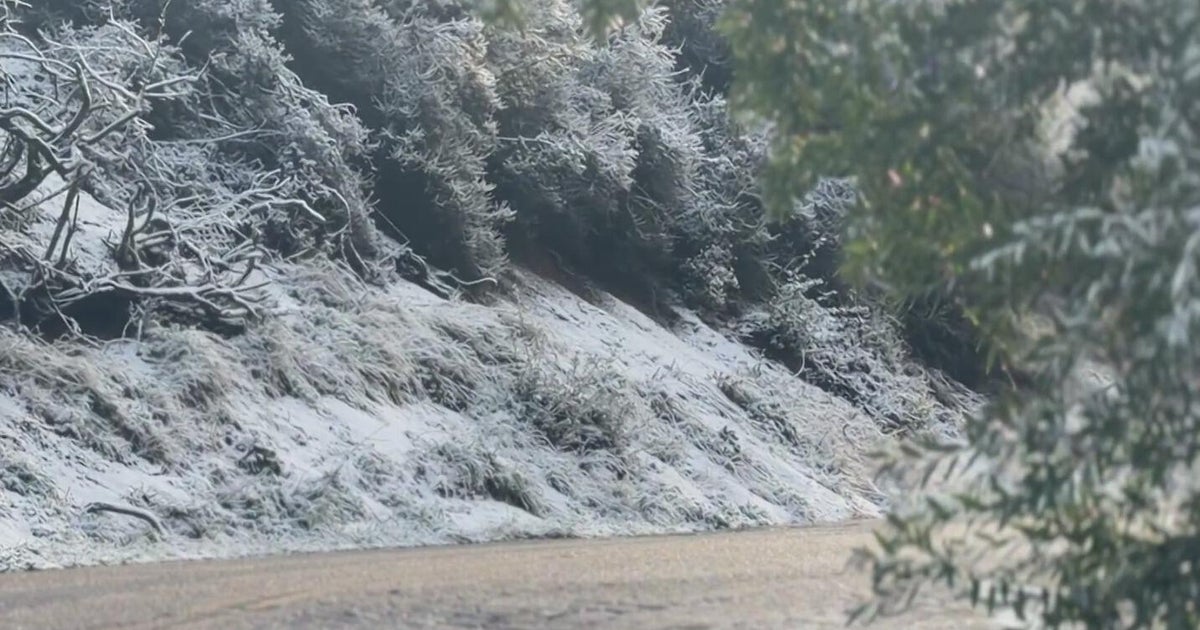
The best chance of this happening would be in the Worcester Hills, Northwest Rhode Island and Northeast Connecticut. With temperatures expected to drop near or slightly below freezing in most locations, many roads will become snow-covered.
Check: Interactive Radar | Weather Blog | Current Conditions | Share Photos
As you know, it doesn't take much snow during the morning commute to make for a miserable drive. Expect the salt and sand trucks to be out early and often and in many communities there will be just enough snow to break out the shovels for the first time.
Given that it is still November, the ground is fairly warm, so a good deal of the snow on driveways and roads will melt away during the day on Friday. The same may not be true in your backyard, with high temperatures only in the 30s this Weekend, some of the snow will likely "stick" around for a few days.
What's next? We may be looking at another tricky commute Monday morning, although right now that storm looks more wet than white.
MORE LOCAL NEWS FROM CBS BOSTON
