Snow Likely For Some Thursday Morning
BOSTON (CBS) - All good things must come to an end, and when you are talking about New England weather that rule certainly applies.
Check: Current Conditions | Weather Map Center | Interactive Radar
Today is our 7th day in the last two weeks in the 60's.
In fact, we have had 12 straight days above normal, averaging about 10 degrees above normal per day since Thanksgiving!
Let's not forget, it is December after all, and avoiding the snow and cold simply cannot be done for long.
TIMELINE
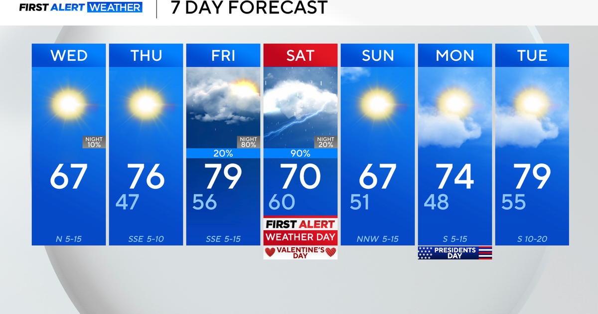
Temperatures will drop into the 50's tonight and into the 40's during the day on Wednesday with off-and-on showers.
By Wednesday night, as the final wave of rain from this system approaches, temperatures will be dropping into the 30's and will be marginal for liquid versus frozen precipitation.
It will be a race of sorts between the colder air rushing in and the precipitation rushing out late Wednesday and Thursday morning.
Rain will change to snow first in western Massachusetts and southwest New Hampshire just before midnight on Wednesday.
This rain-snow line will gradually move eastward in the early hours of Thursday morning, likely making it all the way to the coast just after dawn.
At the same time, the heaviest of the precipitation will be shutting off during or just after the Thursday morning commute.
AMOUNTS
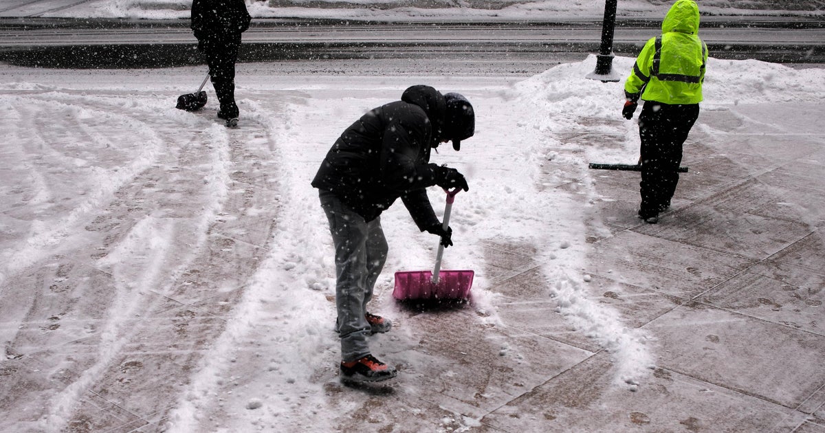
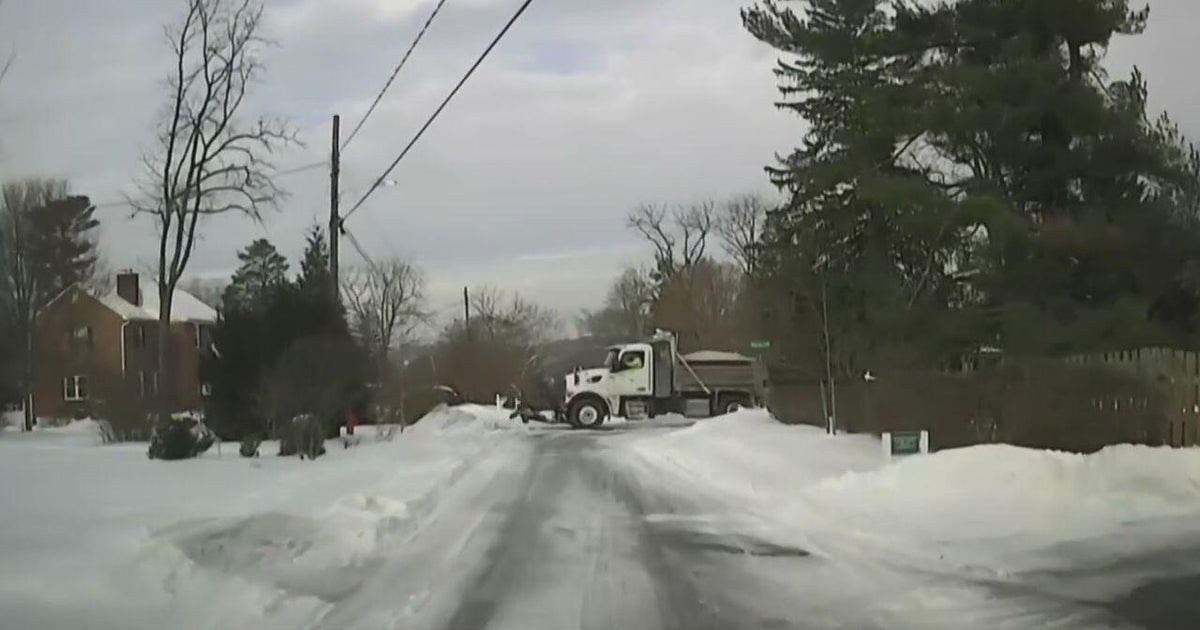
Right now, it appears that a light-to-moderate snow accumulation is likely in all of the higher elevations in western Massachusetts, southern Vermont, southwest New Hampshire and northern Worcester County.
We are forecasting one-to-three inches in spots such as the Worcester Hills and perhaps as close as I-495 and Route 2 (northwest of Boston), again with the best chance of accumulation in higher elevated areas.
Three-to-six inches may fall farther west in the Monadnock Region and Berskshires.
As for Boston and the immediate suburbs, some snow on the tail end is likely to mix in, but we do not forsee any significant accumulation.
The same goes for southeastern Massachusetts because the temperatures just a bit too warm for any snow down there.
The rain and snow end during the mid-morning on Thursday and then some of the coldest air of the season will hang around through the weekend, with high temperatures mainly in the 40's and lows in the 20's.
Watch Todd Gutner's forecast:
You can follow Terry on Twitter at @TerryWBZ.
