Maps show more snow in the forecast for a potential white Christmas in Massachusetts
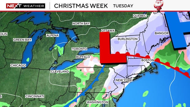
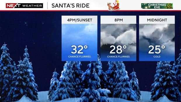
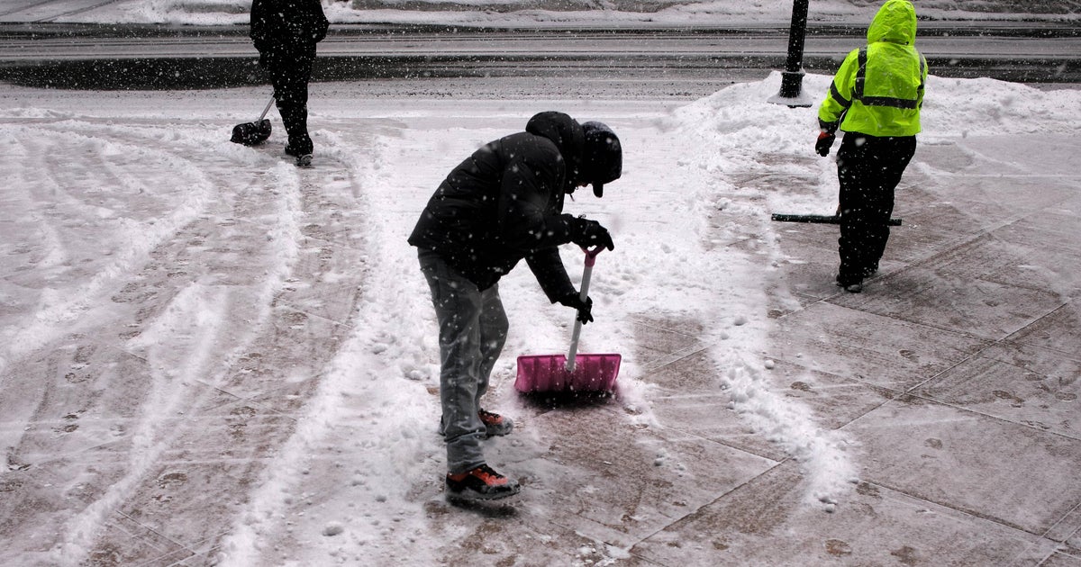
BOSTON - Dreaming of a white Christmas? WBZ is issuing a NEXT Weather Alert as a clipper system is expected to bring scattered snow showers to Massachusetts on Tuesday, Christmas Eve.
Arctic cold blast
First things first, a true Arctic blast of cold air has set up residence across the region with sub-zero wind chills now the opening act for the final full week of the year.
Monday was another frigid day with wind chills going from the single digits to the mid-to-upper teens. Milder ocean temperatures will allow for chilly conditions still out on the Cape and the islands. However, as Monday wound down, conditions turned even more wintery as a quickly moving Alberta clipper will target southern New England near sunrise.
When does the snow start in Massachusetts?
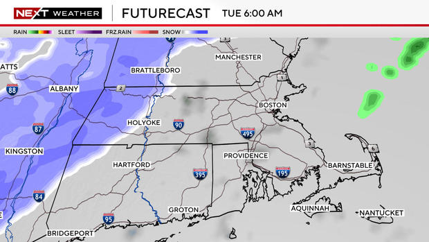
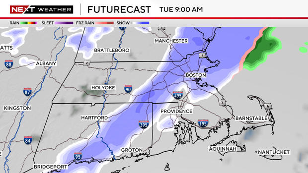
After another night of teens and low 20s, cloud cover will build and snowflakes should be falling within an hour of Tuesday's sunrise.
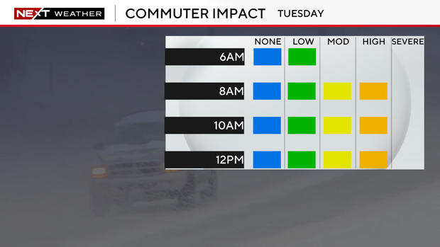
Heading to work or traveling on Tuesday? The greatest impact will likely be felt from 7 a.m. through noon.
Most activity makes an exit around midday with a few flurries lingering afterward. Remember to bundle up for outdoor activities on Christmas Eve, as wind chills will still be dangerously cold.
How much snow will Boston get?
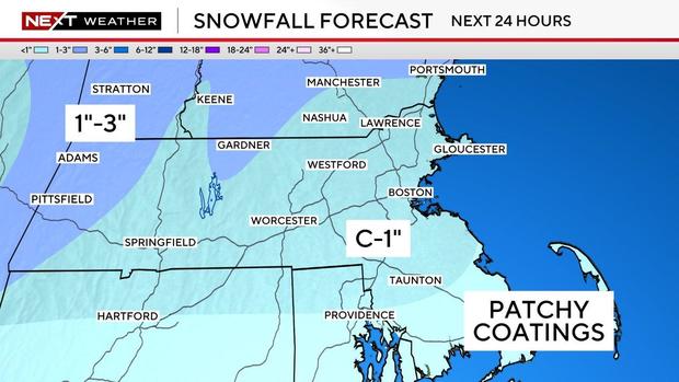
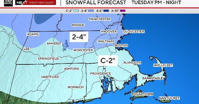
A widespread coating to 1 inch of snow is in the forecast for Massachusetts over the next 24 hours.
Areas around the Cape will only see scattered coatings. Western Massachusetts and areas of north central Massachusetts have the best chance to break a 1-inch snowfall. Isolated spots may see 2 inches to 3 inches total from this quick system.
Remember, the National Weather Service's definition of a white Christmas is at least an inch of snow on the ground where you live by 7 a.m. on Christmas morning.
Boston hasn't had a white Christmas in 15 years. But the city picked up 5.2 inches of snow on Friday, and freezing temperatures mean there won't be much melting before Christmas morning.
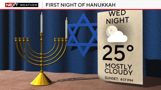
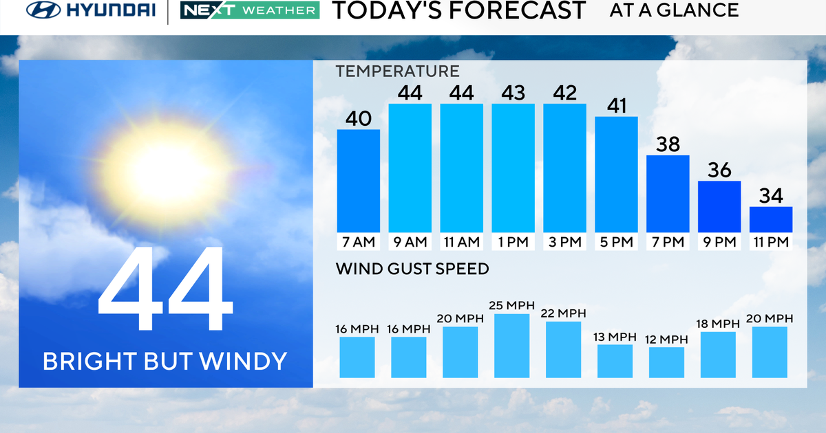
The high on Christmas Day will be 31 degrees. For the first night of Hanukkah, the temperature will fall to 25 degrees with mostly cloudy skies.
