Snow Drought...
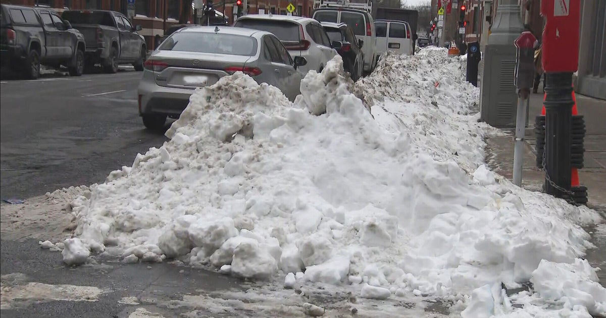
It felt, smelt and sounded like Spring today...I could have sworn those were Spring songbirds chirping away this morning. The landscape is amazingly bare and guess what, another storm is rolling over us with rain tonight. Rain will be fairly steady through midnight then taper off...another burst of steadier rain will develop tomorrow morning as a wave of low pressure spins up south of New England. That wave will promote slower clearing tomorrow afternoon but sun will still manage to poke out and temps will respond into the upper 40s close to 50.
Cooler air will work in on NW breezes for Saturday but still we are looking at mid 40s for highs...above normal...and plenty of sunshine. The weekend storm is a non-issue for us...the northern and southern streams will remain separate until the system passes our longitude and therefore the storm will stay well to our south. We actually may see a coating of snow from the northern stream as it passes through Saturday night ironically.
Behind the larger ocean storm, the winds will pick up quite a bit and temps will be fairly cold in the 30s for the finish of the weekend and the beginning of school vacation week. Those chilly temps should rebound again for the middle of next week as another mild surge heads our way.


