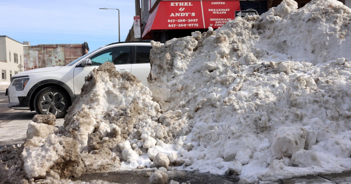
Snow today in Boston. Forecast maps show how much could fall across Massachusetts
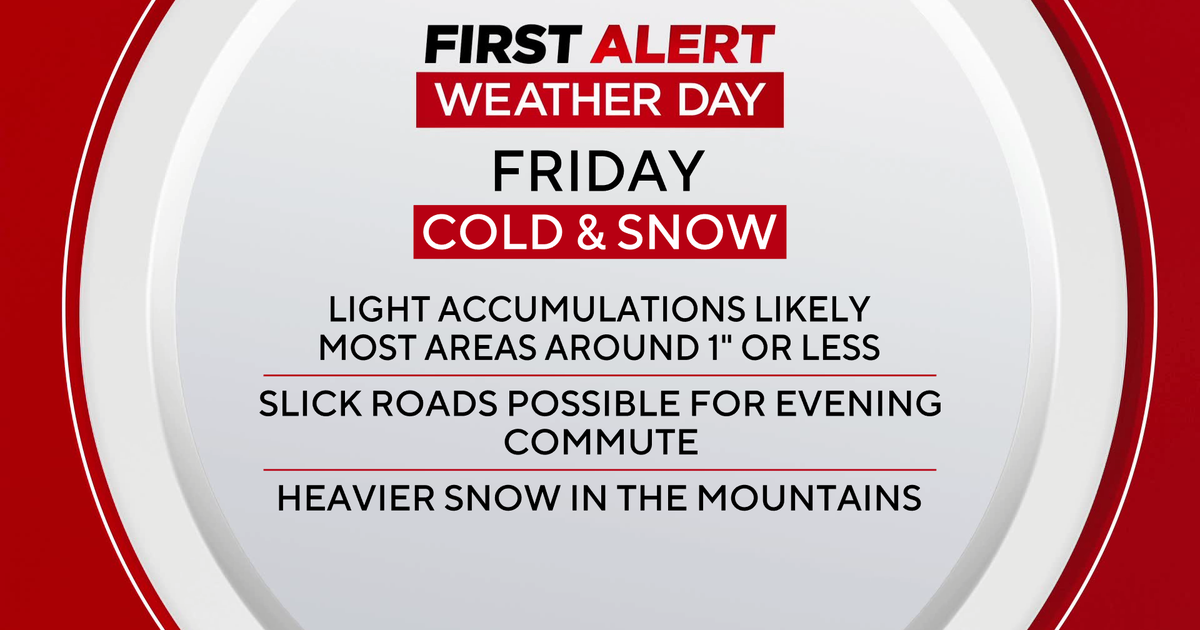
BOSTON - There is snow in the weather forecast for Boston and parts of Massachusetts Friday afternoon and evening and it could stick around long enough for a white Christmas.
Some would call Friday's snowfall "perfect timing" as we head into the final weekend before the holiday. Others, who need to hit the roads today, may not feel quite as festive. Either way, it appears as though many of us will have a fresh blanket of white before all is said and done Friday night.
Snow forecast
This storm has been very tricky to forecast. In fact, even now, our confidence is much lower than is typical on the day of the event.
So, what's going on?
We had a relatively small "Alberta Clipper" system streaking towards us from the Upper Midwest over the last 24 hours. This storm is weakening and essentially disintegrating on its current approach to New England. However, some of its energy is being transferred hundreds of miles away to a developing storm to our south, off the Carolinas. This new and improved storm will travel up towards Nova Scotia in the next 24-to-48 hours, a few hundred miles offshore of Massachusetts.
Snow in Massachusetts
There are two big questions remaining.
First, how close does it come to eastern Massachusetts? A difference of 50 miles one way or the other will make a BIG difference in snowfall amounts.
Second, how quickly does it intensify? Could we get some fairly robust bands of snow here for a few hours Friday?
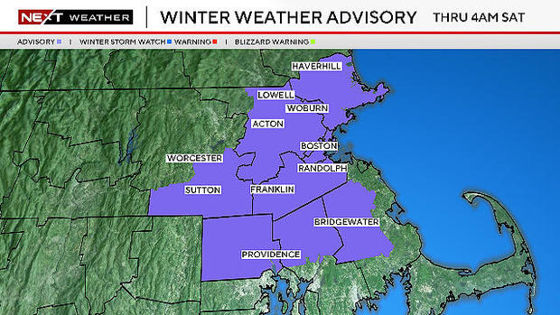
There is enough potential and uncertainty that not only has the WBZ-TV weather team issued a NEXT Weather Alert, but, the National Weather Service has also issued a Winter Weather Advisory through 4 a.m. Saturday for much of eastern Massachusetts.
How much snow today?
The snow will be steadiest and most widespread between 3 p.m. and about 10 p.m. over central and eastern Massachusetts.
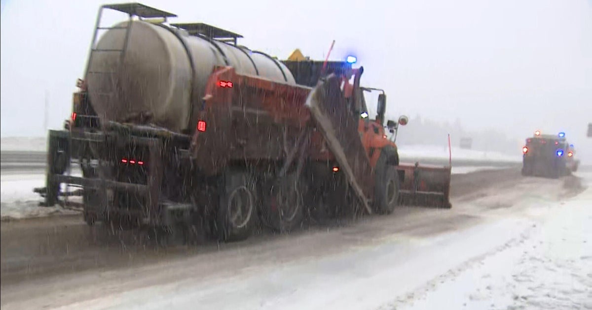
This is when the majority of the snow accumulation will occur and travel will be most treacherous.
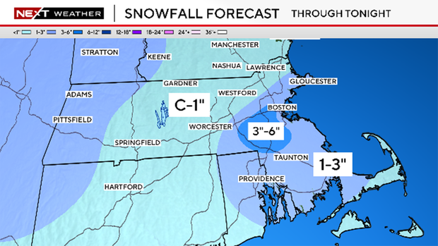
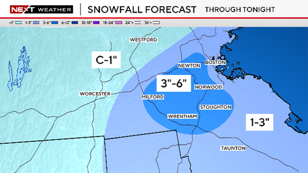
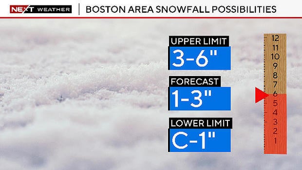
Our snowfall forecast is for 1-to-3 inches of accumulation for just about the entire area east of Worcester. It does appear as though some towns will eclipse the 3 inches mark due to some heavier banding.
The highest risk of this occurring will be very close to 128 in the immediate Boston suburbs. Within this area, as much as 3-to-6 inches could accumulate.
As the snow tapers off Friday night, temperatures will be dropping. Areas that had previously been above freezing, including the immediate coastline and southeastern Massachusetts will drop several degrees overnight. Any untreated surfaces will ice over and become very slippery.
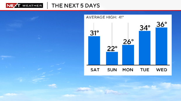
Finally, temperatures will remain below freezing for several days through early next week. So, any snow that does accumulate, will be sticking around for a bit, perhaps right through Christmas Day!
