'Sizeable Storm' Possible Friday
BOSTON (CBS) - It was just 14 years ago when Boston was treated to a nasty trick on April Fool's Day.
Check: Current Conditions | Weather Map Center | Interactive Radar
On March 31st and April 1st of 1997, Boston received 25.4 inches of snow, now ranking as the fourth biggest snowstorm in the city's recorded history.
It stands as the greatest 24-hour snow event ever in Boston.
It was 63 degrees just one day before the blizzard and 75 degrees just a few days after - classic springtime in New England!
FRIDAY STORM
You may have heard some rumors of a potential repeat this year.
First, let me say that we are not going to have another April Fool's Day blizzard.
But, there are signs that we could be in for a sizeable storm on Friday. The problem is, many weather models are still having a tough time putting all the pieces together.
WHAT THE MODELS SAY
There will be a coastal storm riding up the East Coast late on Thursday, we know that for sure. It's exact track and intensity are what is in question.
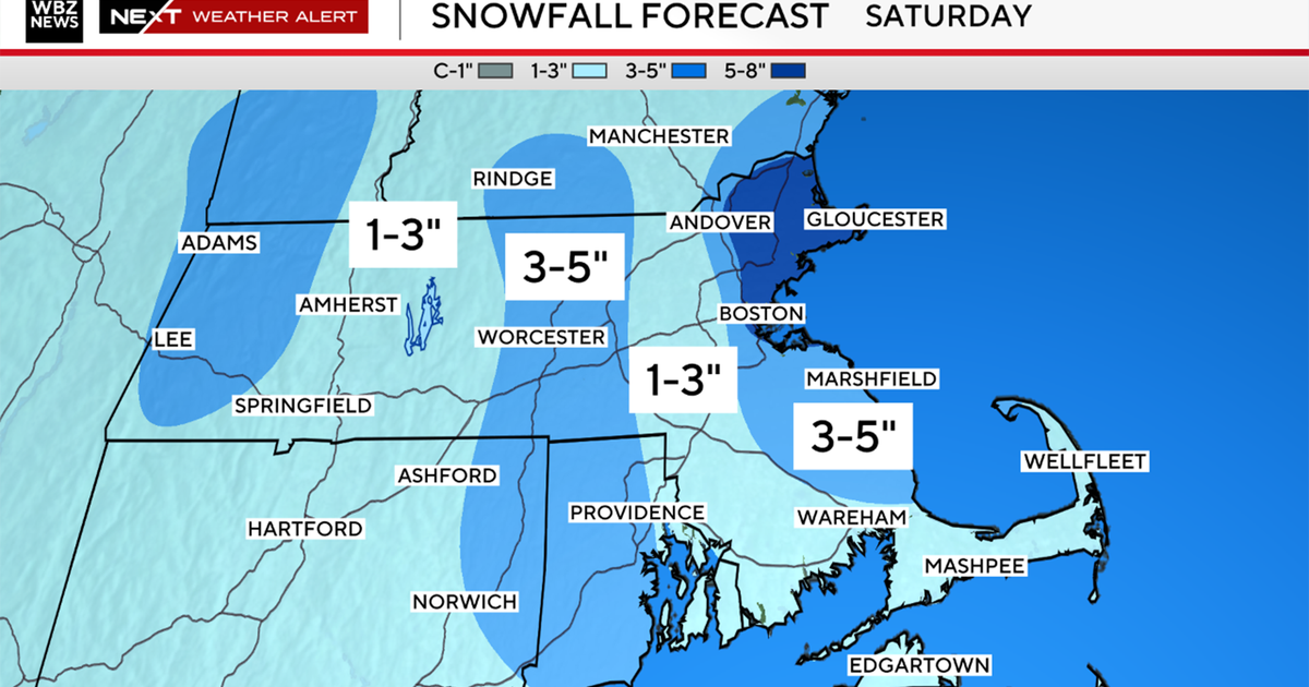
About half of all computer models give us a decent sized Nor'easter-type event during the day on Friday.
This would mean a mix of rain and snow across the area - rain more likely along the coast and snow the farther inland you are, especially for those living in elevated areas.
In fact, there is the potential for several plowable inches well inland.
This would be accompanied by strong northeast winds and perhaps some minor tidal flooding as well.
Watch Melissa Mack's forecast:
TIMELINE
The time frame would be around dawn on Friday through late Friday night.
There is still an equal chance of this storm tracking either too far east to affect us in a major way or tracking too far west for much snow and being a windy-rain event.
Typically, we are able to narrow the possibilities much more when we get within 48 hours of the event, so hopefully by Wednesday morning the forecast will be a bit more definitive.
But for now, don't put the shovels away just yet.
