Shot of Cold...
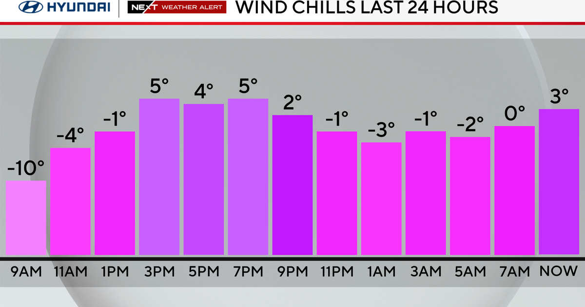
Cold surface high pressure and it's associated 500mb ridge are forcing storms to take a more southerly route through the Mid-Atlantic this time around. Thus, just a dusting of snow this morning and a complete miss tonight with Philly, Baltimore and Washington DC getting around 6 inches of snow. The result for us is the brief return of a very cold airmass. The worst of the cold during this stretch will be tomorrow morning when many will be in the single digits and some may even be slightly below zero...cirrus clouds may halt the free-fall temporarily this evening but overnight the cloud shield from the Mid-Atlantic storm will move out and almost ideal radiational cooling conditions will develop.
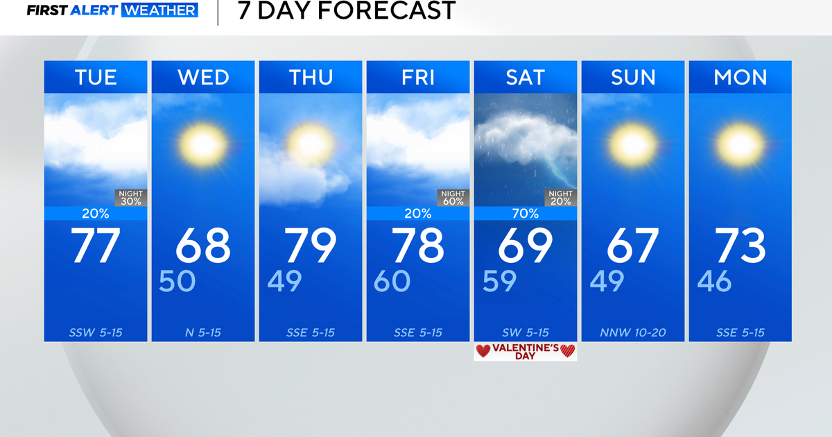
After tomorrow we actually get a nice little warming trend for the a couple of days...30s on Wednesday and 40s on Thursday. Then the question is can cold air make it back in or be manufactured when the next storm arrives first thing on Friday. With the exception of the EURO, most models show a track just south of us keeping enough cold air around to make things very interesting...a heavy, wet snow that could lead to several inches. But the EURO is hard to ignore and that would be a very wet and warm outcome.


