Severe Weather...
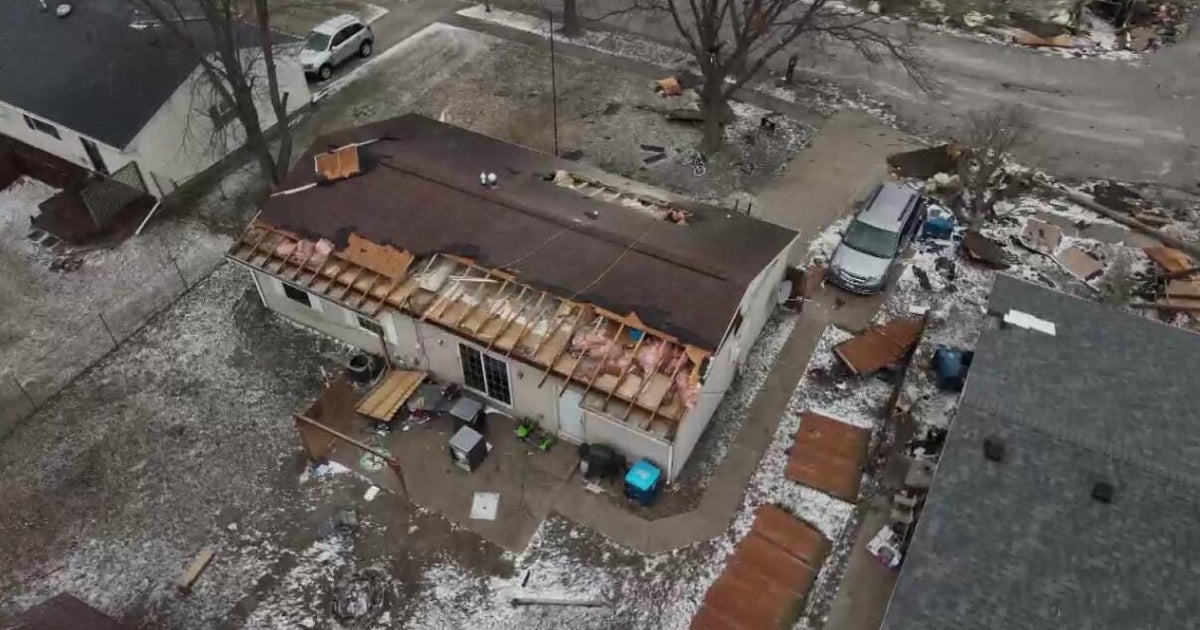
Hey folks, sorry for the late post...today was obviously a bit crazy. We had several reports of severe weather today including a funnel cloud over the North Shore and a microburst in Arlington. So how do the two differ? Well every thunderstorm has an updraft and downdraft but in these cases they are healthy and strong. The downdraft creates strong wind flowing out of the base of the cloud toward the ground however sometimes that downdraft get enhanced by evaporating precip underneath the cloud base. The evaporation process cools the air under the storm making it heavy and it sinks to the ground very quickly adding additional speed to the air flowing out of the storm. When the burst of air hits the ground it spreads out in all direction creating straight line damage pattern to trees and structures. Winds within a microburst can reach 100 mph...stronger than weak tornadoes.
A funnel cloud or tornado is generated from a rotating super-cell thunderstorm. The updraft of a thunderstorm can start rotating if the wind direction and wind speed change as you go higher in the sky...this is known as wind shear. This circulation is usually a mile or two wide and is known as a mesocyclone and can be seen as striations in the thunderhead from the base of the cloud upward. This is the parent to a funnel cloud which will have a tighter spin than it's parent...kind of like a figure skater. When a funnel cloud touches the ground it is then called a tornado and can cause damage after touchdown. The debris with a tornado is more chaotic with tress, branches and other debris thrown in all directions with no rhyme or reason.
Thankfully, the funnel didn't touch down in any town this evening but it may have when it got over the ocean east of Nahant...that is known as a waterspout.


