Final Wave Of Storm To Be More White Than Wet
BOSTON (CBS) - Wave one? Check. Wave two? Check.
Check: Current Conditions | Weather Map Center | Interactive Radar | Traffic |Closings
Wave 3? Here it comes.
View: Your Snow Photos
Have you had enough of this storm yet?
Well, it has one last punch that will arrive this afternoon and evening and this one will be much more white than wet.
Colder air is already pouring southward into our region. We have seen temperatures dropping by more than 5 degrees in parts of southern New Hampshire in the last few hours.
This cold air will make its way all the way into southernmost New England making for a snowy finale to this long duration storm.
Snow will become steadier over the course of this afternoon and some heavier bands will likely develop.
It is within these bands where most of the accumulation will occur, especially near the Coast and spots that have milder ground temperatures and little or no snow cover.
The combination of the intense snow bands and colder air leaking southward should ensure that everyone get a little more snow accumulation before everything winds down between 7 and 10 tonight.
Areas north and west should see the most significant additional snow accumulation (what else is new).
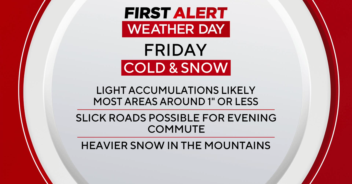
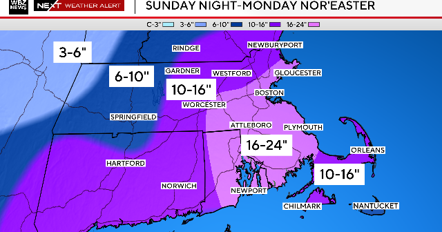
Everywhere north and west of 495 should receive another 1-to-3 inches with 2-to-4 inches+ possible in elevated areas.
Closer to the coast, in Boston and to the south, accumulation will be more difficult but should eventually happen.
We are expecting an inch or two from Boston southward to the Cape.
In fact there may be a final band or two of heavy snow just as the storm is exiting tonight, right along the coast, which will ensure that all of southern New England looks like winter by morning.
One final thing to consider - temperatures will be dropping tonight into the 20's everywhere and this will freeze up any and all untreated surfaces.
So while the storm may be long gone tomorrow morning, you will need to remain cautious walking down the front steps or driving down a hilly side road.
Watch Melissa Mack's forecast:
An interesting side note - Boston as of midnight last night had received 0.9 inch of snow, just enough to remove us from the "least snowy February on record" list.
In fact we dropped all the way to 7th all-time.
We didn't even get a record for snowiest Leap Day (Feb 29th) - that was back in 1968 when 1.3 inches fell.
We do still hold the #1 spot for least snowy season with 8.7 inches currently in Boston.
BUT that total will almost certainly climb this evening above the 9.0 inches that we received back in 1936-1937, leaving us record-less and snow covered to begin March.
You can follow Terry on Twitter at @TerryWBZ.
