Sandy Talk...
A weak area of low pressure will dive south of New England tonight and early tomorrow morning. Clouds will thicken due to this feature and we may see a few showers too, especially south of the Mass Pike. The air over us is very dry so I don't expect much wet weather at all but it will be a bit damp in the morning in spots. Drier air will be working down from Northern New England during the day and so will the sunshine...it may take most of the day to get to SE Mass however.
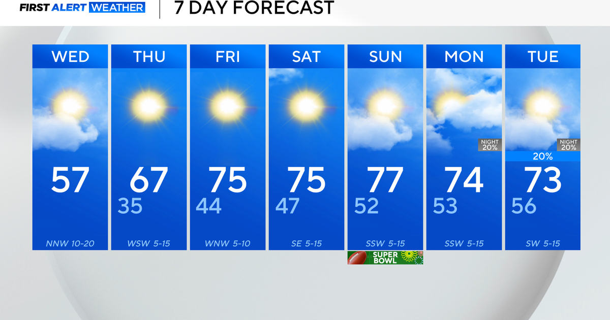
Warmer air will be working in for the end of the week...it will first work in aloft on Thursday. This may actually trap low level clouds...which will have a tough time burning off with the less potent October sun. By Friday we should be more successful at burning the clouds off leaving us with mostly sunny skies for hte afternoon and temps that get well into the 60s.
The start of the weekend will be nice with lots of sunshine and temps in the 60s but beyond that I really can't promise anything.
Tropical Storm Sandy...thousand of miles away from New England could play a major role in our weather early next week. At this point all scenarios are still on the table with a direct hit and major implications to a complete and harmless miss. Sandy will travel northward through the rest of the workweek into a position off the SE US by Sunday. At that point the atmosphere will be going through a major transformation as the jetstream buckles into the East Coast. That buckle could do one of two things, it could steer Sandy out to sea or steer it north and capture it blowing it up into a major tropical / hybrid - Nor'easter type storm. Also at play here is something we call the NAO...a huge roadblock in the atmosphere located over the North Atlantic and Greenland. If the block gets strong enough it could prevent an escape route for Sandy, leaving it no other choice but to curl back up here into the New England. I'm not trying to be an alarmist here but such a track would have very damaging impacts for New England...the coast would see significant coastal flooding and beach erosion over several tidal cycles. The interior would not be spared either...very strong wind gusts would produce tree and power line damage. Again, if the storm hits us...and that is a big if still...but a possibility that this weather office is very conscience of. My hope is that we will have a much better feel on the situation by Thursday, but this is a very complicated set-up so please stay current on the forecast.


