Sandy Churning Northward
Per the 5am NHC update, Sandy is cranking out maximum sustained winds at 85mph. The pressure has also decreased to 946mb, which signifies some strengthening. The current track still brings the eye of the storm into the Central/Southern NJ coast this evening into early tonight. With the current track, we are most concerned from midday today through midday Tuesday. The brunt of the storm will be this evening.
WINDS: Wind gusts will reach 60-80mph hurricane force gusts for the South Coast/Cape/Islands. Wind gusts will reach 40-60mph tropical storm force gusts for the majroity of our viewing area, including Central Massachusetts, Boston and points north to the Mass./NH border. Then, most of our viewing area in NH will have gusts ranging from 25-50mph.
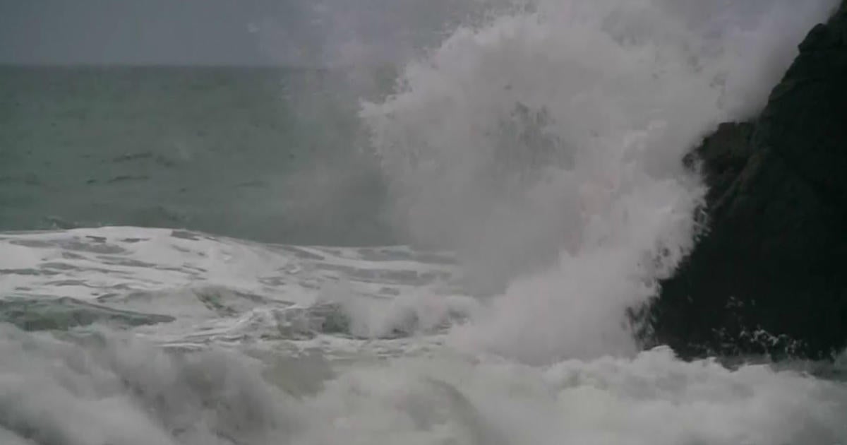
COASTAL FLOODING/STORM SURGE: Major to historic storm surge (3-6ft+) is going to be possible for the South Coast/Cape/Islands around high tide this evening. Minor to moderate storm surge (2-4ft) will be likely for east-facing beaches during the midday high tide (~12 noon) today. *The coastal flooding/storm surge for the South Coast/Cape/Islands may rival or exceed that of Hurricane Bob of 1991. Additionally, the storm surge for east-facing beaches may be similar, if not worse than, the Patriots Day Storm of 2007.*
RAINFALL: A general swath of 1-3" of rain can be expected. The highest estimates will occur in areas across southern NH and Central Mass/higher elevations. Some of these areas may see isolated amounts up to 4-5".
All of the updates that you need to know are available at www.cbsboston.com.
Be safe!
~Melissa
