Round #2 Moves In...Quick Update
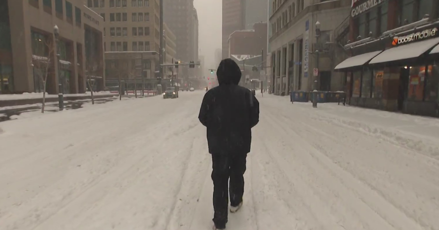
Snow broke out shortly after 3AM this morning in most locations and is now coming down steadily in all of the area except for some mixing in extreme SE MA and over the Cape. It is that mixing line which we will be watching all day today as it will be moving northward steadily through the morning. Before that happens 3-6" will fall close to Boston and along the Pike, the sleet and freezing rain reaches Boston around 8-9am. The mix line will reach up to the MA/NH border by midday.
The storm will be winding down everywhere not too long after Noon...between 1pm and 3pm there will be a gradual tapering of all precipitation and just some scattered snow and ice through tonight.
So for snow totals we are now expecting 1-3" to the south of Boston...3-6" in and around the Boston area, down the Pike to Worcester...6-9" north of Boston around Rt 2/495 and 9-12"+ up in Southern New Hampshire and into Central New England.
As for the predominant precip types...
Snow...from the MA/NH border northward
Snow to Sleet north of the Mass Pike, Rt 2, Rt 3, I93
Snow to Sleet in Boston down the Pike and in SE Mass.
Snow to Sleet to Plain Rain along the immediate coastline, SE Mass. and over Cape Cod and the Islands.
The best chance of freezing rain will be found in Connecticut, Western MA in the Pioneer Valley to southern Worcester Cty and the Blackstone Valley where there is the potential for 1/4" of ice accumulating on colder surfaces.
Thankfully liquid precip. amounts will remains around or just under and inch in most areas, likely not enough to cause major issues with weight on rooftops, but some damage is possible, especially where freezing rain falls today.
Another plowable snow likely Saturday with a wave of low pressure coming up the coast, which may bring some warm air with it. This may create a wet mix at the coast with 3-6+" of snow inland away from the mix line.
THEN another low comes out of the Gulf, follows almost the same track as Saturday's storm and provides another chance of accumulating plowable snow. That storm has the potential to become stronger off the coast and provide heavier snow totals.
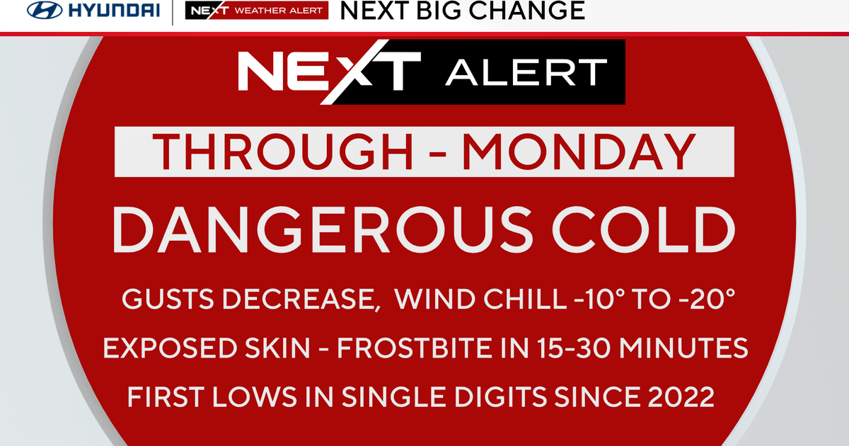
THEN and extremely cold air mass settles into New England towards the 10th and 11th of February as 850 temps drop down to -16 to -20 C. Once this arctic airmass lifts out...well, we just may be taking a break from this relentless winter pattern which has engulfed the northeast.
Signs are starting to show the pattern shifting west, which will allow warmer air to build in the south and Mid-atlantic...So there is a good probability we have seen the worst of the winter...How could it get any worse? New England is never quite out of the woods with our proximity close to Canada, there will likely be a boundary of cold and warm close by us...so we will still be a battle ground for periodic storms and mixes...
BUT...at least there is a light at the end of the tunnel that this February will likely take a turn for the better before the month is through. No pattern lasts forever. This cold, snowy extreme pattern has run it's course...but we still have a bit more to go through before we get to the promised land!

