Recession...
Spending the weekend above freezing and watching lots of snow melt away was nice but now we are starting to pay the price...flood season has begun and many rivers are going to crest above flood stage over the next couple of days. This event won't be a bad one but the season has just started and more rain is on the way later this week!
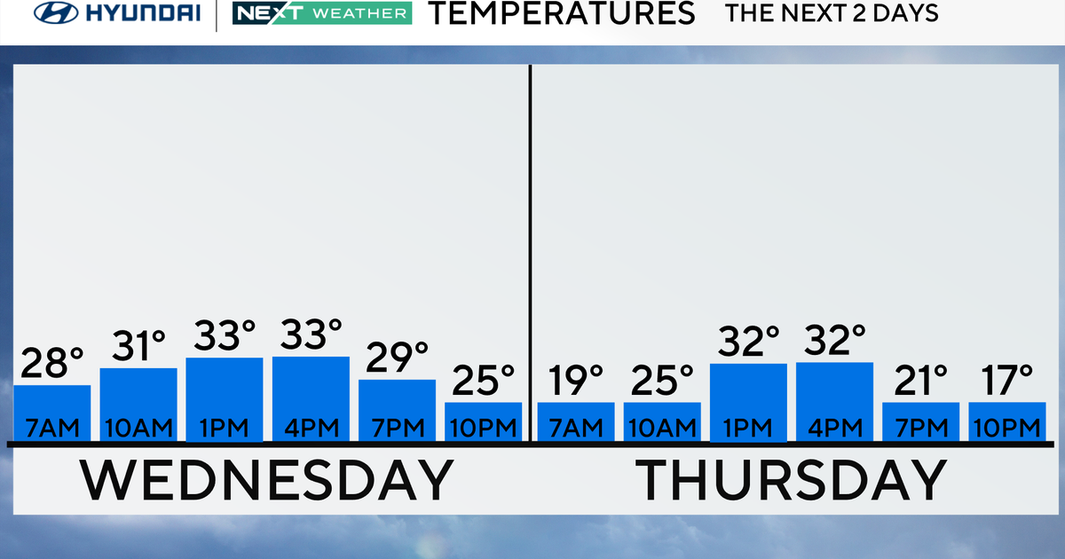
Over the next couple of days high pressure will be centered to our north...this will provide dry and sunny conditions...it will also promote an east wind which, with ocean water temps still in the 30s, will prevent temps from getting much higher than 40 degrees near the coastline...the interior may get as high as 43 or 44 tomorrow. On Wednesday, clouds will be increasing in the afternoon, this along with an E / NE wind will knock temps down a notch...we will be looking at highs in the upper 30s. All of this of course is good for the flooding, dry weather and colder temps will limit the snowmelt...for now...
Late this week the threat will be elevated once again as another slow-moving storm system with ample upper level support will produce more heavy rain Thursday night into Friday morning. This next shot of rain will likely be over an inch as well and will also be accompanied by warm temps. So even though rivers and streams will get t he opportunity to recede over the next couple of days, they will be on the rise again as the week closes out.
