Rare...
These kind of days are few and far between...usually something messes it up like a seabreeze or cloud cover blocking out the warm sun but not today!
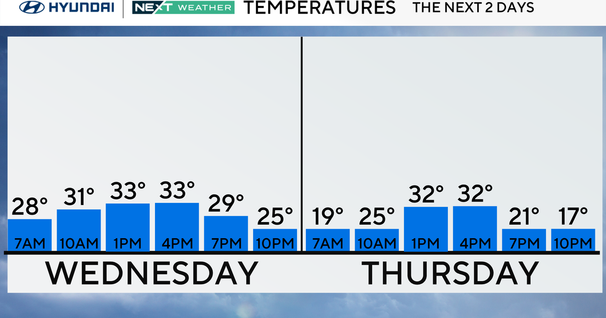
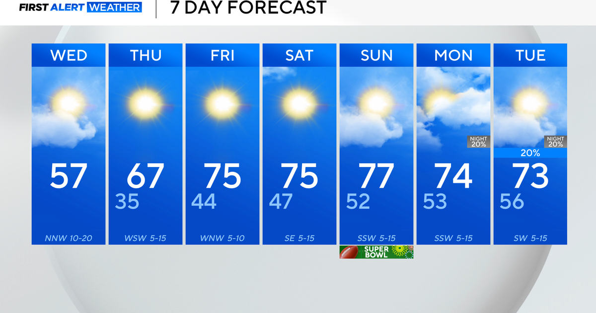
It appears that the NAM has a good handle on this current warm surge...even though MOS numbers have been too low, T1 off of FOUS with the downslope and full sun was the way to go. So, I will follow that tomorrow as well which would translate to highs in the upper 60s...very close to 70! The record, BTW, is 70 set back in 1999. Timing of the front is still critical to getting those type of lofty temps but it looks like an afternoon frontal passage meaning the colder air will be delayed until the evening! As far as showers go...this looks like a relatively dry frontal passage. There may be a very thin line of showers or sprinkles with it but insignificant. The most notable variable tomorrow aside from the temperature will be the wind. Significant mixing due to the cold air advection in the afternoon and evening could lead to gusts as high as 50mph...it will be gusty and blustery and most likely annoying!
That wind will bring in seasonably chilly air for the weekend but with high pressure close by lots of sun will try to offset the chill.


