Rain Until...
A frontal boundary in the New England vicinity will continue to make its mark as the focal point for showers and locally heavy downpours through Wednesday.
There will be showers, mainly north and west of 495, through midday before the scattered rain makes more eastward progress later this afternoon. Highs will reach the middle 60s in Central Massachusetts along with the Cape/Islands, while other locaes will hover around 70F. So, if you are heading to watch the Red Sox play this evening, you will most likely be dodging scattered showers.
As this batch of rain moves eastward, the rain will be combined with a few areas of stronger UVV/shortwaves that will induce heavier downpours/thunder on Tuesday night. Lows will remain mild in the middle 50s to 60F.
Wednesday will be the last day of unsettled weather as the first frontal boundray carries the first round of rain eastward. Then, a few breaks of sun are expected during the midday hours before more showers and storms are sparked due to a cold front passing by Wednesday evening. Highs will be in the 70-75F range. It will be in the 65-70F range for the Cape/Islands.
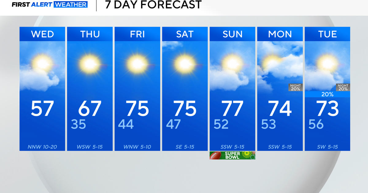
Wednesday night will be the transition period. Thursday will be the return of sunshine! Highs will be in the lower to middle 70s, but once again, cooler for the Cape/Islands.
Friday will be another beauty with highs in the middle 70s and cooler temperatures along the coast.
This weekend is setting up to be another gorgeous one! Sunshine on Saturday and Sunday will be accompanied by mild high temps in the middle to upper 70s on Saturday to near 80F on Sunday. I don't know about you, but that puts a smile on my face! :)
~Melissa :)

