Quiet Before the Storm....
What a day out there! Definitely a bit more sunshine than I was expecting...but no one is complaining. Sun and a SSW wind pushed high temps into the Lwr-mid 50's. 55 at Logan airport. Clouds will be on the increase tonight. These clouds will trap in todays warmth. This along with south winds should help to keep temps pleasantly mild through the overnight in the 40's. Temps will be climbing right back into the 50's tomorrow as warmer air remains in place along the eastern seaboard ahead our approaching rainfall.
Rain is extending from Upstate NY al the way down to the Gulf of Mexico where we have seen some severe weather in Louisiana. 4 confirmed tornadoes in the state with one Tornado in Rayne, LA 300 yards wide injuring 50 people, doing substantial damage. This energy and area of low pressure is what we are going to track tomorrow as it will ride the boundary separating the warmth from the cool which is charging down the Plains and into the Great Lakes. This low will be crossing through New England tomorrow night with heavy downpours, embedded thunderstorms, and the potential for some localized street and stream flooding.
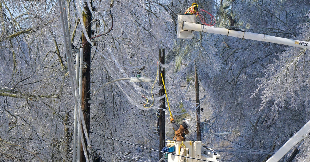
As the frost pushes through colder air will be moving in on the backside of the front. Winter storm warnings are up for Northern VT through Monday 1 PM. heavy snow for far northern mountains in the order of 8-16" of new snow. Heading further south from Lewiston, to Laconia to Ludlow VT...there is the potential for Freezing rain and sleet to develop late tomorrow night and continue through the morning hours Monday before ending as a brief burst of snow. Icing could be a real problem in the north for the monday morning commute.
Further into Southern new England will be seeing mostly rain. Sunday will be dry for most of the day...like today...but more clouds. Rain will push into the west by the afternoon and shift to the coast by evening. Rain will be heavy with embedded thunder. I am expecting about 1-2" of rain...but some locations may see upto 3 " before it all quickly winds down Monday afternoon. Rain may briefly end as a period of sleet or snow. Heaviest rain should remain North and west of Worcester. Some urban poor drainage flooding will be possible in downpours in combination with melting snow and poor runoff.
Monday temps will be falling through the day behind the front as we will transition back to a more typical March airmass. Enjoy the warmth while it lasts. Canadian high pressure will supply the chill before the next storm takes and inside track and moves in Thursday afternoon for a bit more rain. Plenty of weather to watch in the next 24 hours ...expecially in the colder spots! Monday morning's commute in Northern new England could be quite icy is spots. Hard to believe with so much warmth the past two days.


