Quiet and Colder...
A coldfront is working through the Northeast right now not much action along but there are a few rain and snow showers mostly diving south of us with an associated vort max. There is a second vort max behind the first triggering additional showers of both rain and snow. That one may be on a slightly more northern trajectory making it possible for a brief, passing flurry or sprinkle. Regardless, the night will be harmless, just much colder by morning as cold air advection continues and thicknesses fall.
Tomorrow, with a downsloping NW wind, will mean lots of sunshine but an atmosphere only able to support, in general, middle 40s for temps.
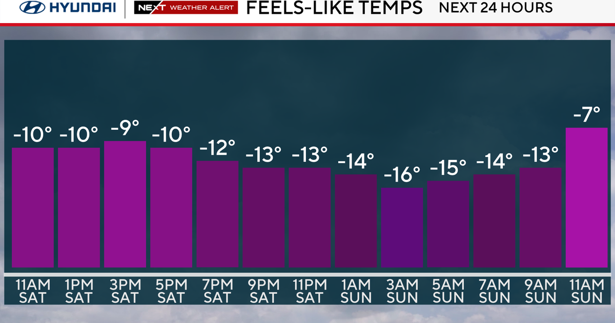
Another fast moving clipper type system will fly past to our north Saturday night. Strong, potentially damaging, SW winds will blow milder air into the region during the day. Only to get pushed right out by a coldfront Saturday evening which will likely be another dry frontal passage but will usher in the coldest air of the season thus far. That air will settle in on Sunday and under the cold dome of high pressure sunshine will be fairly ineffective only able to manufacture near 40 degree air. This will set up a chilly Gillette Stadium Sunday evening for the Pats and Colts in Foxboro.
The same high that gives us a taste of early Winter cold will slide to our south and east early next week and mild air will flow back in on the backside of that high for Monday and Tuesday. A coldfront will be marching into that mild air and able to squeeze out some mild rain showers later in the day on Tuesday. Wednesday is the busiest travel day of the year and for us in New England should end up quiet as we will be between the coldfront and an approaching developing storm in the Mississippi Valley. This storm will likely travel to our west then north keeping us on the milder side of the event. There is a chance that some wintry precip come of this at the on set. A couple of things we'll be watching...the timing of clouds/precip...if the storm slows down a little we could have some decent radiational cooling Wednesday night cooling the atmosphere down enough. We will also be watching for surface low pressure redevelopment to our south along the warmfront...if this occurs then some cold air could get trapped at the surface over the interior as that low could create northerly winds and cold air damming. Several days off, but some food for thought...

