Plethora Of Precipitation
High Wind Warnings, Winter Weather Advisories, Coastal Flood Advisories, and Wind Advisories are in place this morning.
Location is key with today's storm.
Check: Current Conditions | Weather Map Center | Interactive Radar
Boston and southeastern Massachusetts may see more than 1 inch of rain.
Watch Melissa's forecast:
There is mixing along the I-495 corridor and cities and towns north and west of 495 are receiving snow.
The rain/snow line will continue to press northward throughout the morning.
It appears that it may go as far north as southern NH by late morning (10-11 a.m.)
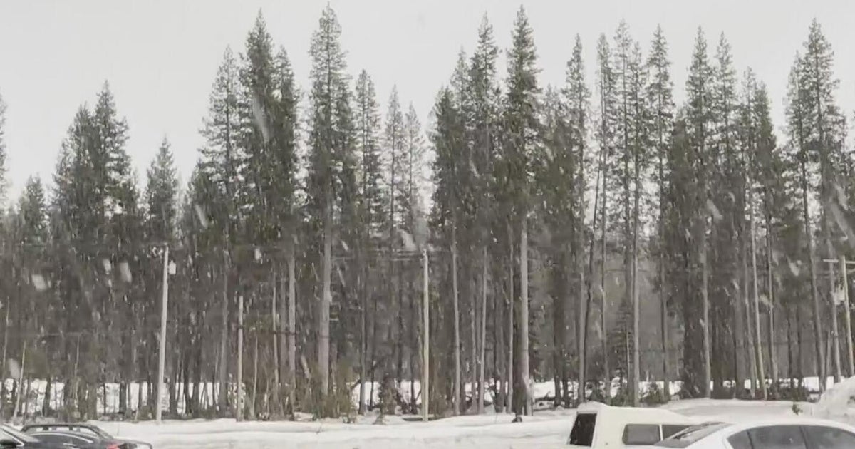
SW New Hampshire and locations north and west of this region will stick with snow, sleet, and freezing rain for the entire event.
These areas will receive 2-to-4 inches of snow.
As you travel into central Vermont/NH and into Maine, some backyards will end up with 6+ inches of fresh snow.
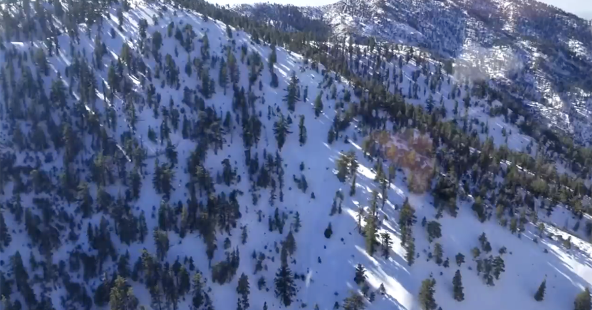
Ski country is in its glory right now!
The precipitation will taper by mid-afternoon (~2 p.m.)
Winds are also a concern today as east winds will gust up to 50 mph.
This poses a threat for minor to moderate flooding for east-facing beaches, especially around high tide ~1 p.m.
High temperatures will range from the upper 30s for southern NH to the middle 40s in Boston to near 50F along the Cape/Islands.
We will have a short break tonight before another batch of precipitation heads this way on Friday morning.
Another cold/occluded front on Friday morning will be responsible for a few rain/snow showers.
Then in its wake, southwesterly winds will pick-up, and temperatures will be falling into the 30s.
This weekend:
It will be cold and breezy.
Saturday will be partly cloudy with a few flurries possible, breezy with highs in the lower 30s.
Sunday will be sunny, breezy, and colder with highs in the lower to middle 20s.
Melissa
