Plenty of Dry in The Weekend...Warmer Pattern Ahead.
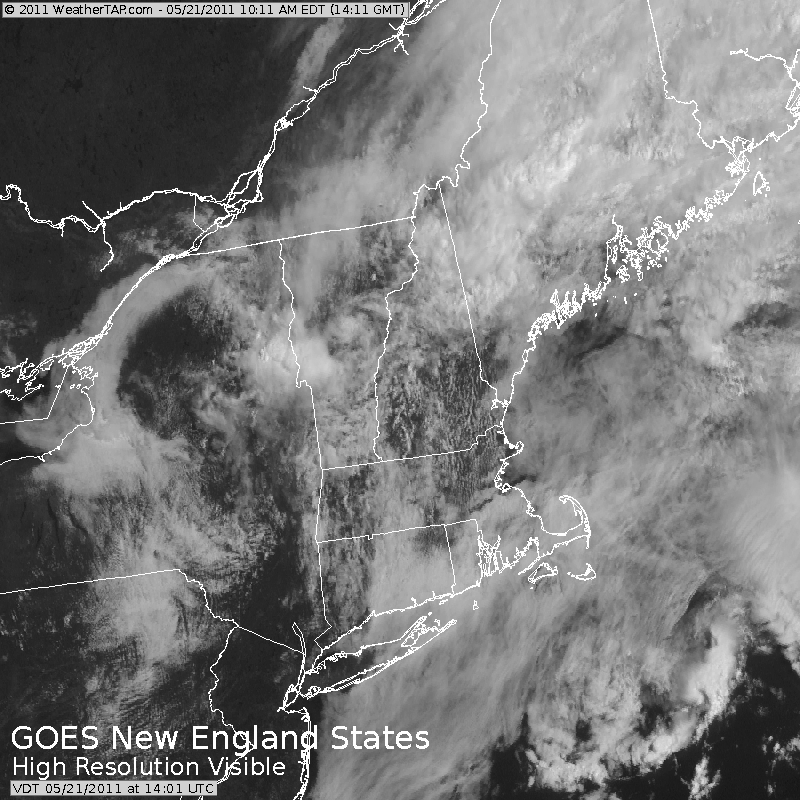
Our pesky low wich brought a week in the clouds with periodic rain is pulling far enough away today that temperatures are finally able to warm up. Morning clouds and fog are breaking for partial sunshine and an overall pleasant Saturday. Temps are warming inland into the Lwr to Mid 70's, while eastern areas, especially at the coast will hold in the 60's.
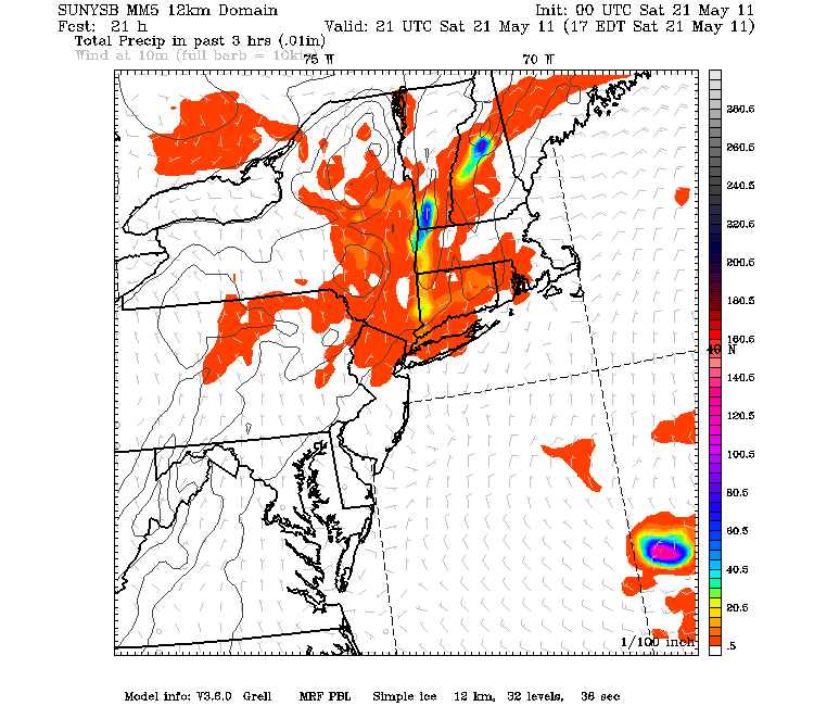
A front is pushing south in the form of a back door cold front which will introduce a much cooler day Sunday. This front will likely trigger r a few scattered showers and T'storms as it runs into the heating of the day. The best chance of showers will be inland, with drier cooler more stable conditions at the coast.
The front will push off the south coast tonight with a cooler maritime airmass settling in overnight. Inland showers will quickly diminish. Plenty of clouds with pockets of drizzle are likely tonight at the coast as temps fall close to their dewpoints.
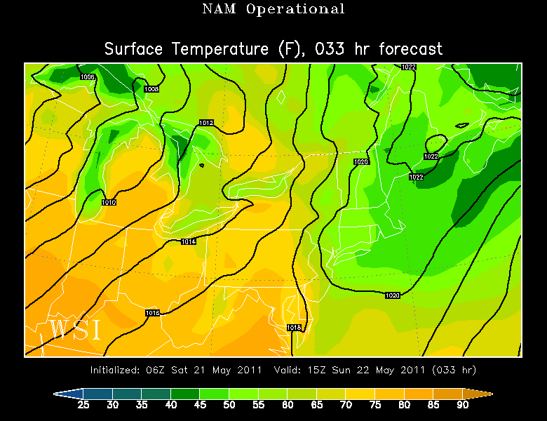
With the front south of New England, Weak high pressure over Nova Scotia will supply cool air in off the water and help to lock in plenty of cloud cover across New England Sunday. Sunny breaks will be more likely in the afternoon. Temps will be quite chilly at the coast in the 50-55 range, with temps and bit warmer inland in the Lwr 60's under considerable cloudiness....but dry!
Winds will be shifting back to the SW Monday as a warm front begins to push through. The best chance of showers with this front will occur Late Sunday night and early Monday AM. The warm front will struggle to push across the MA boarder...so again, abundant cloud cover , breaks of sun and milder temps on the warmer side of the front in southern new England. Showers will diminish fairly quickly in the morning.
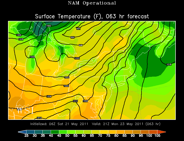
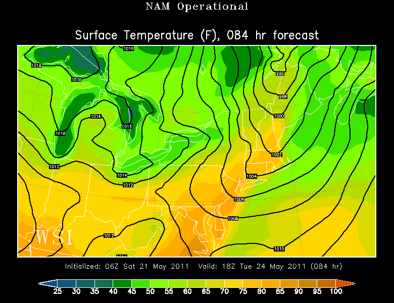
We will warm significantly ahead of a cold front which will cross through Tuesday mainly dry. Clouds and sun with temps in the Upper 70's and approaching the 80-85 range in any substantial sun and a SW wind. It looks like a typical summery day...with the chance of an isolated PM T'storm.
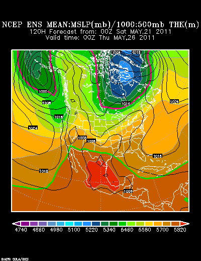
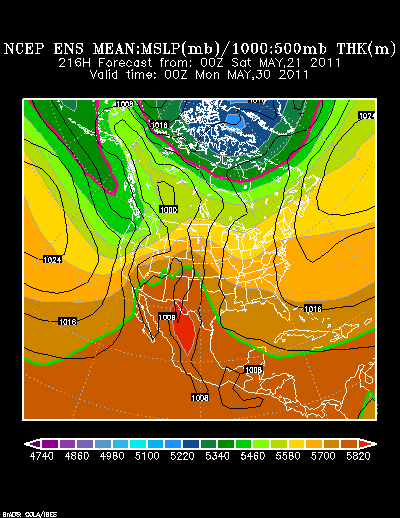
Now what happens to the cold front after Tuesday get a bit more tricky. SW flow will continue aloft with upper level ridging along the east coast. The warm subtropical jet will supply the warmth into the pattern, but the polar jet will be supplying just enough cool to keep pulses of energy riding along a stalled front which will be extending from New England into Texas separating the cool from the northern Plains for the building warmth of the East.
Where the placement of this stalled front eventually ends up is still very much in question and will determine where the showers occur and how cold or warm we will become.
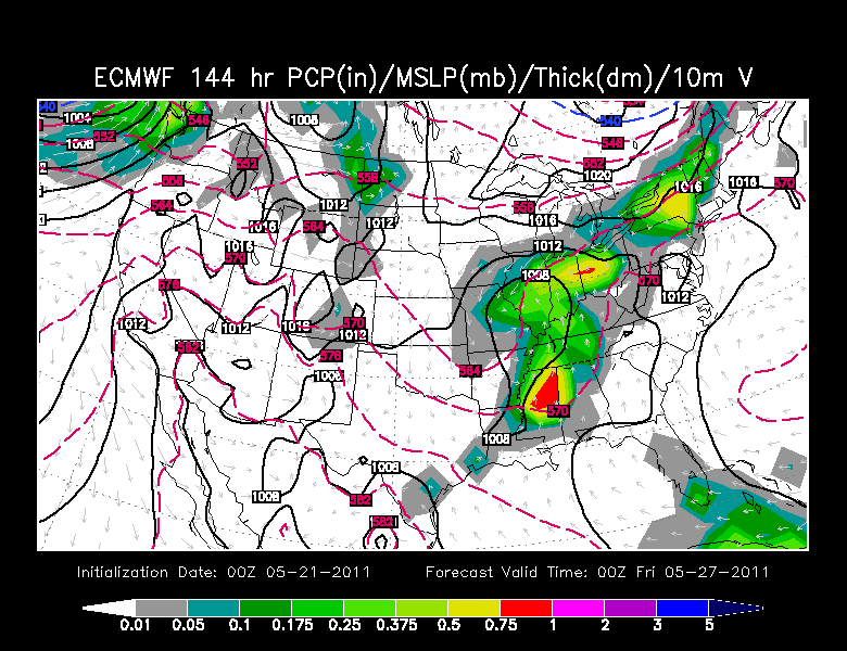
Periodic showers and T'storms will develop along this front during the midweek and work their way towards New England.
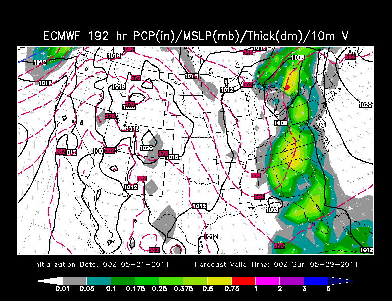
Upper level ridge just off the east coast may help to steer some of this rain west of us slowing down the eastward progression, helping to provide drier conditions with cooler onshore winds for the coast...with the heaviest rain staying west for a good chunk of next weekend, The over all look is for a mild Memorial day, but there will be rain west of us which could easily sneak in here if the ridge does not hold up its end of the bargain. Low confidence in the long range since the placement of the rain, front and temps are up in the air right now.
