Persistent "Nuisance" Storm
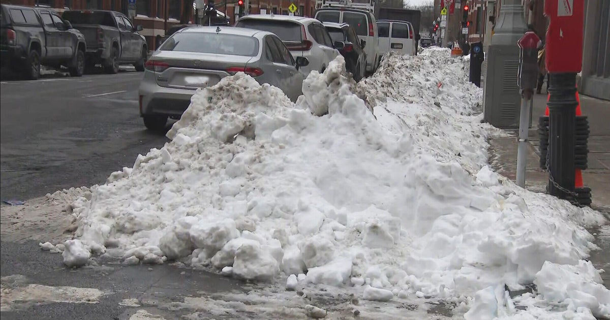
Well, now that we know this is not going to be a big storm...we still have to address the tangible weather which will be happening. There is still plenty of winter weather this weekend. Winter Weather advisory is in effect from 3 PM until Sunday night through midnight. Even though this Saturday is getting off to a calm quiet start...once the flakes start to fly they will be around a while. Our third weekend in a row with winter weather to track...an impressive run it has been. It is like as soon as Puxatawney Phil said an early spring he released the beast of winter as we have seen 32" of snow total in Boston for the month of February and we will be adding to it this weekend. Impressive.
We are tracking 2 pieces of energy in the jetstream. A "split flow" means the northern and southern stream are separated. The southern stream supplies the moisture and warmth, while the northern stream provides the cold and lift more often than not. When these streams merge is when you can get explosive storms off the coast, which it looked like for a time this week. But alas..Now we know these streams will remain apart.
The first piece of energy coming out of the Gulf is loaded with moisture and will become a weak low which will ride south of New England. The northern edge of this moisture will be directed into the region later this afternoon where it will start as a burst of snow, and more of a wet mix at the south coast. With SE winds at the surface, a snow rain line will be advancing north to the MA Pike tonight and will likely push through Boston for a change to rain. North and West communities outside of Boston should remain just cold enough through the overnight hours to support snow where a few inches of snow may accumulate by dawn on Sunday. South of the Pike and at the coast will be over to rain for the evening through early Sunday with ESE winds directing in a marine airmass in the 30's.
Once the low tracks far enough away Sunday morning, winds will begin to shift to the NNE and the snow rain line will be collapsing to the coast. The last to see the change to snow will be the Cape who will end up with very little snow from this storm. The first piece of energy will be exiting Sunday morning, which will give way to a brief lull in the snow by midday. BUT the upper Low accompanied with colder air and a Northerly wind shift at the surface will provide the necessary lift to allow for a second round of snow to develop by Sunday afternoon through Sunday night.
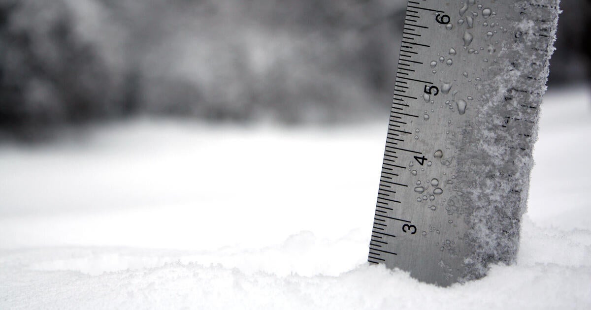
So the accumulation of snow in places cold enough to support snow through the duration...NW suburbs...will be gradual and come in two pieces. Another thing to factor in is the border line temps which will be near or above freezing through most of the duration of the storm. This will make for very low snow-water ratios. In your typical winter storm...if .75" of water fell into air cold enough to support smow...with a ratio of 10-1, you would get around 7-8" of snow. This storm is different. Borderline freezing temps will give us ratios of around 5-1 through the storm which would take .75" of water and cut it in half...for a smaller more compact 3-4" of snow. That is the case here. Snow will be heavy, wet, compact and very slow to accumulate cutting down accumulations big time! Still, because of the persistence of the Snow from Saturday night through Sunday there will be areas which see about 4-6" of snow...with a focus on S. ME, SNH and Northern MA away from the coast. The warming influence of the water will keep amounts down from Cape Ann to Boston to the South shore with about 1-3"...mostly accumulated on Sunday. Snow will struggle to stick on mainly wet pavements...but areas exceeding 3" of snow may start to get a bit slick on Sunday...especially once the Sun sets.
Because the storm is weaker, winds will be considerably lighter...but breezy. Waves will be considerably smaller, but choppy. Coastal flooding will not be an issue with Sunday's 10 AM high tide, but we may see some splashover along our eastern facing beaches.
High pressure builds in Monday and Tuesday with sunshine and moderating temps back to near 40 or above. We will be tracking another potent low coming from the Gulf states and mostly tracking up through the Ohio Valley. A warm front sliding through will bring us a period of rain, but we will have to watch for some of this rain changing over to snow in N & W by late Wednesday into Wednesday night. A Blocking pattern will develop in the upper levels which will allow an upper low to dig in and slow over us for the end of the week with cooler air. This will keep clouds around with scattered rain and snow showers. Areas in the N & W could pick up an additional 12" of snow before the week is through which will be a delight for the skiers.
Seeing signs of a persistent trough in the northeast with cooler than normal temps, and active weather likely to keep going well into March. Winter still has a few more tricks up it's sleeve. We dodged a bullet this weekend. We will keep you updated of any more tricks coming this weekend....not out of the woods yet!
Join us on cbsboston.com/weatherchat if you have any direct questions to ask us!

