Pattern Change Coming or Just More Of The Same?
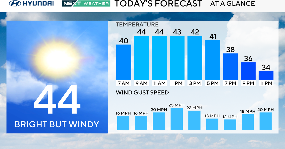
The rain is long gone and it is nice to be drying out after such a miserable Friday. A gorgeous Saturday morning will see increasing cloudiness by afternoon. Temps have started in the 30's and will be climbing into the mid-upper 40's by this afternoon with a mild west wind. Weak high pressure over us this morning will give way to an approaching front for the evening hours.
Along this front a few scattered rain or snow showers in western NY and PA...but the upper level support will fall apart by the time this front approaches. Most of the lift will cross into Northern New England tonight. I am expecting a dry frontal passage with a few clouds tonight. Best chance of a few snow showers/flurries will be in the far northern& western mountains. Skies will be clearing by dawn as the front pushes off the coast. As skies clear temps will drop into the 20's overnight and hold in the lwr 30's at the coast.
Sunshine will prevail again on Sunday but cold air advection on the move will make for a cooler day in the upper 30's and Lwr 40's at the coast. Winds will be more active with gusts to 25 mph. Another cold front will move through Sunday Night. This will have slightly better moisture and lift to work with...with another slight chance of a snow shower or flurry in the NW...dry at the coast. Again clearing at dawn.
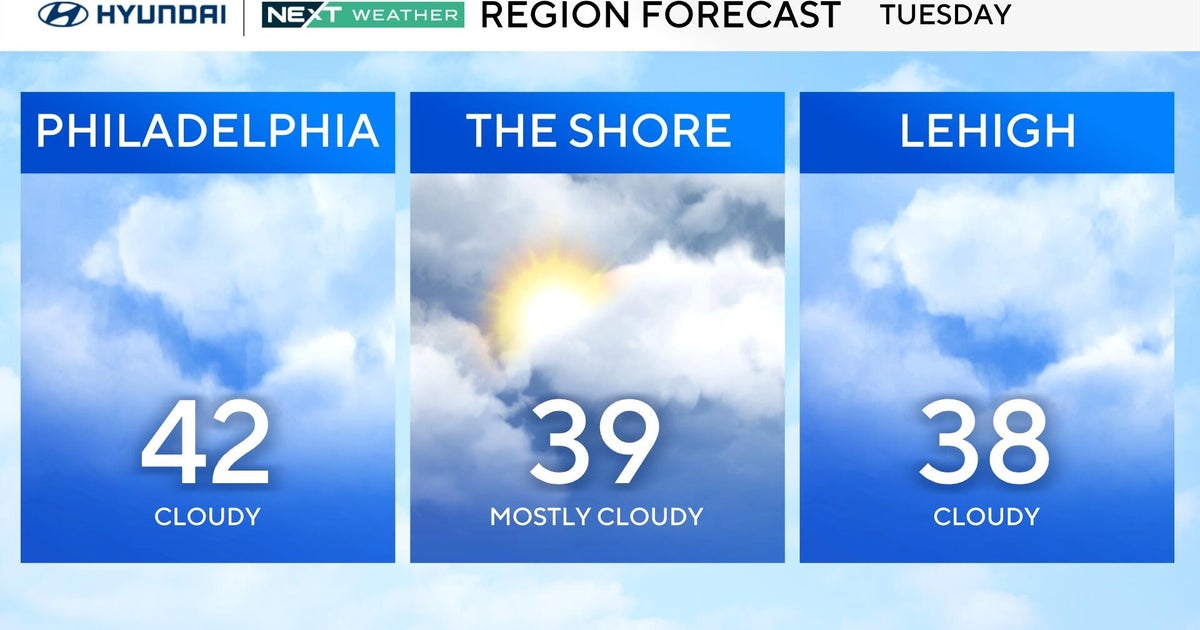
More sunshine Monday with cooler air aloft mixing down to the ground with breezy west winds. A cooler more seasonal day with highs only in the Lwr-mid 30's. High clouds will be increasing in th PM ahead of the next front. Cold air will be slow to budge Monday night...so there is a slight risk of light snow Monday night into early Tuesday...maybe a few sprinkles south of the Pike at dawn. A warm front will be stalled over us Tuesday making for abundant cloud cover and transitional temps depending upon where you are. 30's north...Lwr 40's south
The Boundary won't budge into Wednesday with a wave of low pressure tracking from the Great Lakes into Northern New England. Temps will be cold enough to support some light snow along this front at the start of Tuesday night...but warming will quickly transition any wintry mix to a few light showers Wednesday morning...cloudy skies and temps climbing back into the mid-upper 40's with persistent WSW winds wrapping around the departing low.
This mild wind direction will be in place from this weekend right into the midweek...so any sort of cool down will not be Arctic...if anything...another midweek warm up can be expected with the mild air holding on into Thursday as winds will finally shift to the NW and a cool down will begin heading into the weekend with building high pressure into Saturday supplying the cold from Canada
The jet stream will be shuffling around towards the end of the week. Still mainly in a split flow which is one of the main reasons the cold has remained locked up in Canada. We will be watching the coast for the second half of next weekend for a possible storm later Sunday? Indications are this storm will try to bring formidably cold air in its wake starting next weekend for the Midwest and Northeast for the week of February 6th.... In turn, this could pave the way for future, snowier storms in the region....The polar vortex may set up shop farther south for a time around Hudson Bay during the second week of February. This should open the door for colder more Arctic air to spill into the northeast. We will see. The way this winter has been...until the pattern shows some blocking it is hard to believe anything that says winter will return in full...But hopefully February will have a few winter storms in her tank.
