Path Will Be Key For Potential Major Snow Storm Tuesday-Wednesday
BOSTON (CBS) - There is a storm in the works and it has the potential to be major, perhaps even historic, IF it is steered closer to New England Tuesday night into Wednesday.
The various atmospheric mathematical models have been indicating a monstrous storm out over the ocean for the last several days.
One of the runs a few days ago placed the center of the storm between Nova Scotia and Cape Cod with the lowest air pressure of 28.25" which is a bomb of a storm. Under those conditions, we would easily receive 2-to-3 feet of snow with hurricane force wind gusts!
PRECISE PATH IS KEY
I am not currently predicting such extreme weather. As always, the key is locked into the precise path of this potential nor'easter.
The evolution of this extraordinary late March weather commences with a disturbance in the upper level wind field streaming southeastward from the western Great Lakes on Monday.
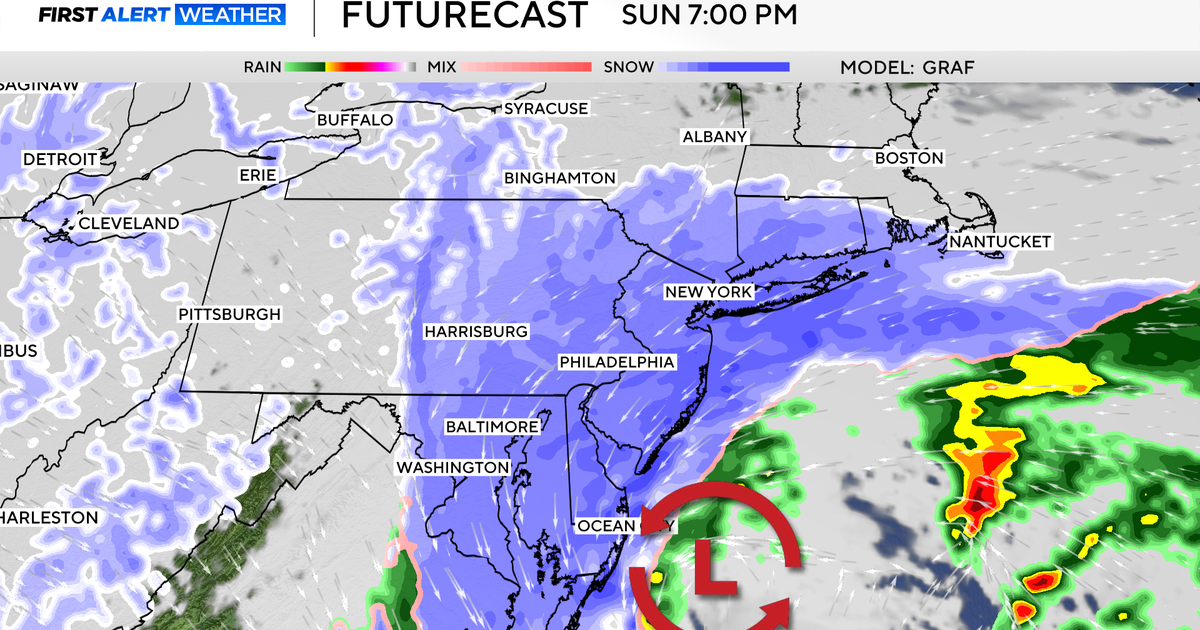
As this impulse digs toward the southeastern States, it will blossom a shield of moisture shifting across the Gulf Coast states. A surface low pressure system will begin to develop off the Georgia coast on Tuesday. The steering currents will boot this storm offshore but as additional energy dives in and phases with the initial upper level disturbance, a closed upper level storm will result well southeast of Nantucket and the surface storm will undergo "bombogenesis."
This means rapid intensification will ensue and the storm may become caught underneath the erratic upper level whirlpool of wind. Consequently, the storm may shift more northward or even loop around out over the ocean.
This movement should force heavier snowfall back closer to southeastern New England. I would be much more concerned if there was some blocking in eastern Canada but there is none and this storm should be very progressive and nail the Canadian Maritimes and probably spare New England of a major, major blow!
CLOSE CALL?
My gut feeling at this time leads me to forecast a very close call.
Most of the action, and there will be a ton of it, SHOULD be just offshore but it appears that the region will be sideswiped by its snow and wind.
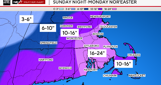
The best bet right now is to project just a few inches inland to several inches over southeastern Massachusetts, with Cape Cod being more vulnerable with a potential of up to a foot or more!
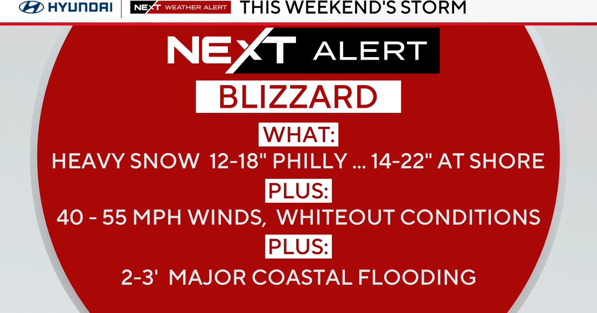
High winds over 50 miles per hour on Cape Cod and 25-to-50 mph elsewhere in eastern New England are likely. Expect very rough seas and beach erosion. The high tide of most concern will occur at 7-to-8 a.m. on Wednesday. Its scheduled height of almost 10 feet will be enhanced by at least a couple of feet, so some coastal flooding is likely.
It is too premature to be highly confident of the exact outcome, so I only advise you to follow subsequent forecasts on WBZ-TV News, WBZ NewsRadio 1030 and on CBSBoston.com.
The WBZ Weather team will post information and graphics on Facebook and Twitter.
Follow Barry on Twitter @BarryWBZ
