Second Part Of Storm Tonight, Part Three Saturday
BOSTON (CBS) - Ok, so part one of this "storm" was pretty weak - just enough snow to coat the ground in most areas this morning, but the surface was so mild that within an hour or so, most of it just vanished!
There were reports of 1-to-3+ inches of snow in parts of northern Connecticut, Rhode Island and western Massachusetts, but that is now over as well and we are moving towards part two.
Check: Interactive Radar | Current Conditions
There will be some light snow and flurries through early afternoon, and gradually, as temperatures creep up, these will change to light rain showers.
Watch Melissa Mack's forecast:
After dark however, a fairly potent second wave of precipitation will arrive and bring some heavy rain with potentially some thunder as well.
Most of these downpours will exit the area by 10 or 11 p.m. Farther north, in many of the ski areas of New Hampshire, Maine and Vermont, this second wave will be largely in the form of snow.
Three to six inches of additional snow is likely up north tonight, which is great news for skiers!
The final phase of this storm will pack the biggest punch.
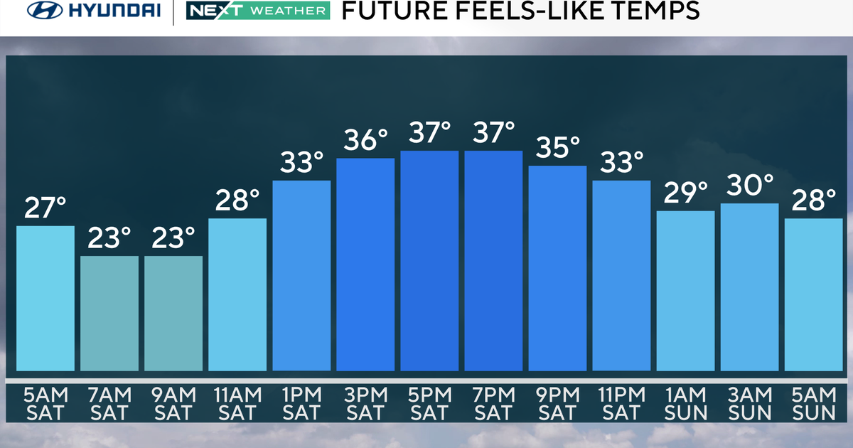
Winds will gradually increase overnight and by Saturday morning all of New England will be receiving gusts well over 30 mph.
Strong winds out of the northwest will continue all day on Saturday, not really tapering much until Sunday morning.
Winds will average 15-30 mph with gusts peaking out well over 40, and in elevated areas in central and northern New England gusts to 50+ are likely with some additional scattered snow showers.
You can follow Terry on Twitter at @TerryWBZ.
