Onward...
Note to self...next time there are reports of thundersnow to your south UP THE AMOUNTS! We basically received a foot of snow in 6 hours...and in Hopkinton, between the hours of 3-4AM 5" fell...5"!!!!!!! Wow, that was insane and to be honest I overlooked this storms potential. I really thought there would be a sharp cut-off to the north and west of Boston but the explosive nature of the system blew that theory out of the water...live and learn.
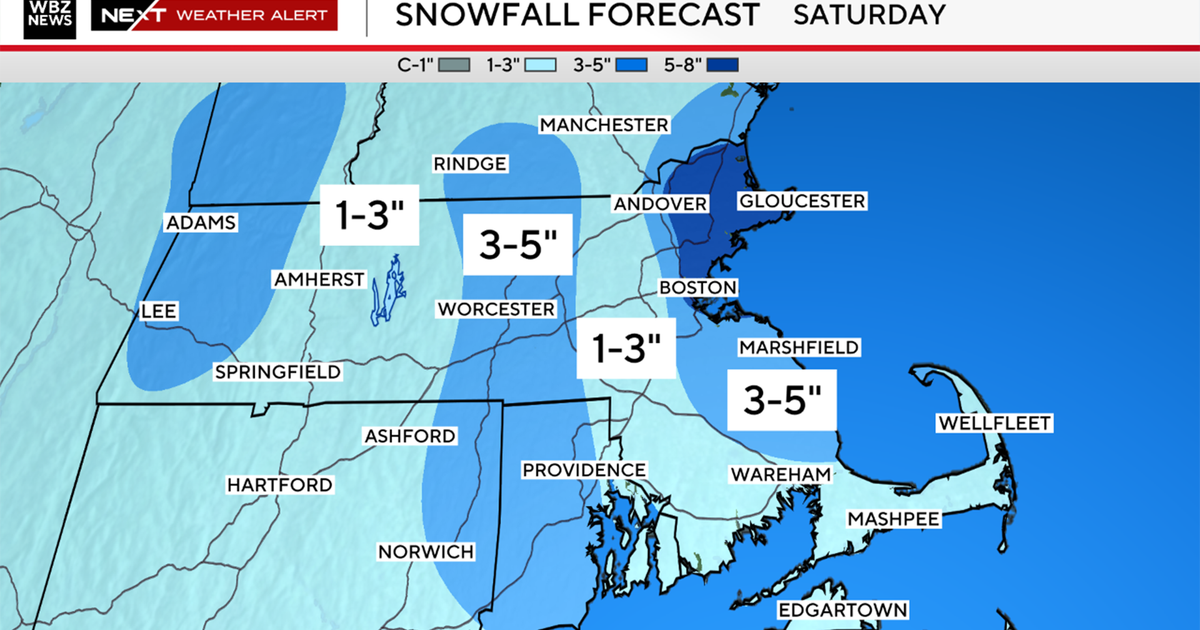
Moving forward now the storm track is coming out of Central Canada...a moisture starved area...thus just periods of light snow and flurries over the next couple of days. The Saturday afternoon event could actually give us some minor accumulation...coatings to 1"...higher terrain a couple of inches. Aside from the weak warm advection there may be a little flare up or cyclogenesis out over the water which may enhance some of the snow Saturday evening near the coast producing more of a widespread 1" amounts.
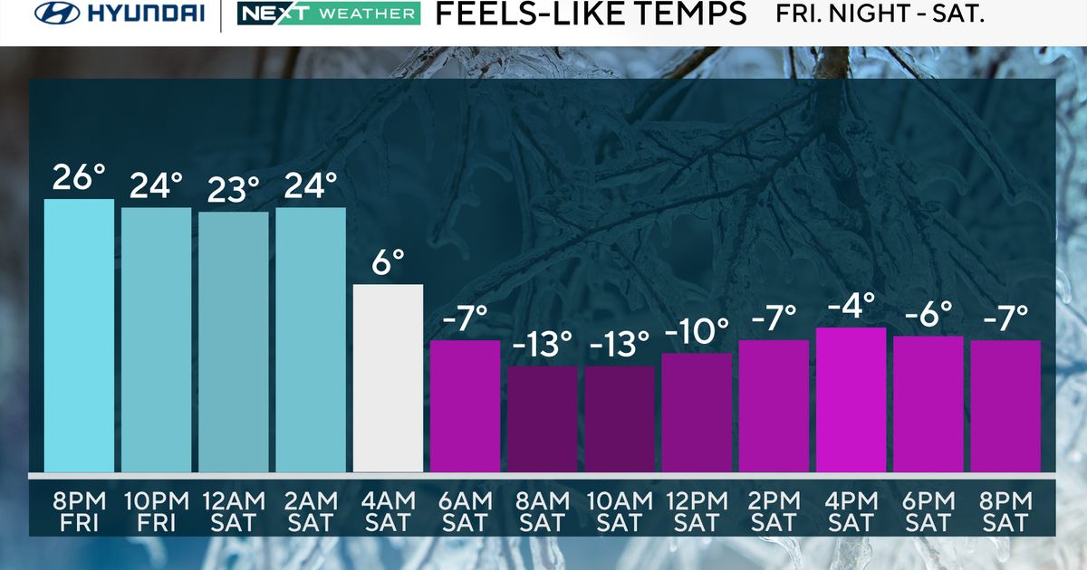
We then see a couple of very cold and quiet days going into the start of next when an arctic airmass bleeds south. Following that a sharp baroclinic zone or contrast between cold and warm air will set up across the center of the country and will likely spawn a large surface storm...which should emerge from the south and into the East middle of next week (Wednesdayish)...this could end up being our next storm.
