One More Burst...
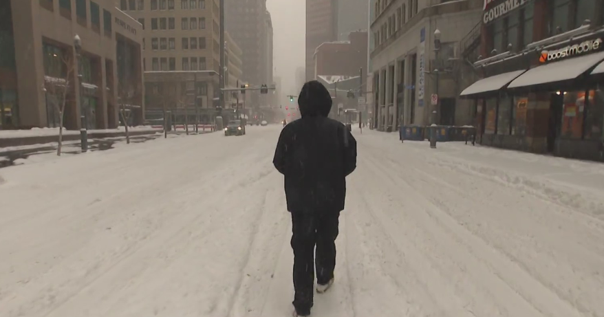
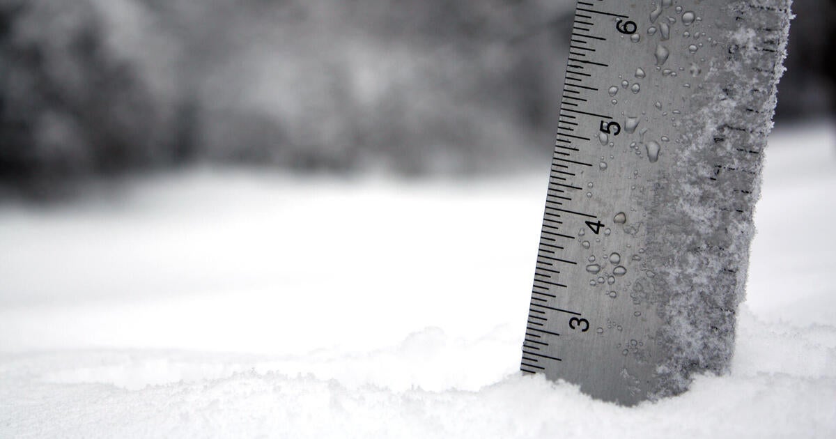
Incredibly, the current storm's center is 1000 miles to our East and while it isn't directly impacting us, moisture on its western flank is getting squeezed out by a pinching off vort lobe. This feature will provide enough lift so that a weak surface trough sets up in the morning and delivers one last burst of snow pushing totals into the 1-4" range. Not a blockbuster but getting us...melting aside...a White Christmas. The leading band of snow as it moved south dropped 1-2" of snow in Boston's southwest suburbs while elsewhere coatings to one inch were reported. Through the remainder of the night, BUFKIT cross sections show the best lift (omega) moving on so snow intensity won't be as strong and therefore accumulation should be fairly minor overnight. But again, tomorrow better low level lift returns and the snow intensity will pick up again for some additional minor accumulation. In the end, the impact from this event will be fairly minor...mostly just secondary roads being impacted. In a way, the surprise snow the other night saved us from a major evening traffic mess because many of the DPW crews went out that night and treated the roads so there was already a layer of salt out there making for mainly wet roadways. Snow will gradually taper off tomorrow in the early afternoon but for much of the day surface temps will be above 32 and therefore the snow that falls after the morning drive will have little if any impact on the area. Cyclonic flow will keep the clouds locked in just about all afternoon with some sun working through in the NW suburbs later in the day. Christmas Eve and Christmas will both be fine just cold and breezy with highs in the 30s but plenty of sun.
With the amplifying mid-levels and jetstream the timing of the next storm has now been delayed to Sunday night and Monday. A colder solution seems to be the way to go which is good because that is the road we have been going down. A major storm...a serious bomb...will form off the East Coast. At this time we are comfortable with saying some snow is likely Sunday night into Monday...but that's about it. With a direct hit it would be a clobbering but I'm not convinced of that yet and neither are the models...frankly nobody will be until within 48 hours and maybe 24. Sure, we could speculate what each model run would do to us...2" liquid=24" of snow...etc...but what good does that do? It would be pure and utter speculation...unnessassary hype this far in advance.

