One More Batch of Rain...
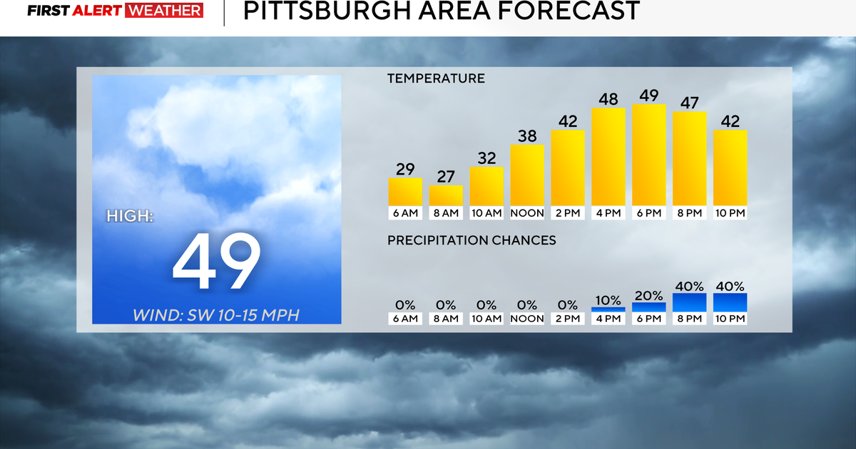
Nice to have the good weather back before the weekend is through! Dry high pressure to our north will give us some morning sunshine, but it will be fading behind increasing high -mid level clouds during the day. Highs will climb into the 40's to near 50 in many areas this afternoon under partly sunny skies. Skies will end up being brighter across the north, with more in the way of clouds streaming through SNE thanks to a batch of showers just off our South coast. Winds will shift to the NE this afternoon then to the SE tonight as clouds will continue to thicken with an approaching warm front.
Rain will be developing later tonight mainly after 9 PM. High pressure will supply enough cold air that any precipitation will star off as a brief burst of snow across the north. This may even include NW MA and SNH around midnight. No accumulation is expected as any snow will be transitioning to sleet and freezing rain for the hilly terrain and valleys overnight. The concern is for a few slippery spots for the Monday morning commute where there could be a light accumulation of ice. Ski areas will pick up a couple of inches of snow before the change over to an icy mix across the north. Most of us across SNE will be seeing showers by midnight continue through the early morning hours Monday. Expect a wet commute...with diminishing showers through the morning as a warm front lifts north. Showers will persist on and off during the day in the NW.
As the warm front shifts north, mild SW will transport a balmy airmass into SNE for the afternoon where there will be a bit of a lull in the precipitation with plenty of cloud cover. Highs will climb well into the 50's and even Lwr 60's south of the Pike. Cooler temps will linger in the north. We will track another batch of showers late Monday into Monday night along with a cold front. Showers will be likely for the Patriots game at Foxboro with temps in the Lwr 50's and cooling into the 40's. Rain gear will come in handy.
High pressure will follow behind the front for several days of sunshine which should take us through the 15th of December with seasonally cool temperatures. What lies after is where the weather pattern should start to become a bit more interesting.
Around the 16th, we should be starting into a pattern more favorable for blocking. In this kind of pattern, the weather can become like a series of bowling balls coming down the alley with one storm after the other. It is still questionable if we will have enough cold air to work with and where the block eventually sets up. Most of the models I am looking at do not look particularly snowy with more storms taking lows west of New England or "inside runners" which would give us better chances of rain in SNE than snow. But when it comes to anything long range, especially when it comes to an active pattern, things can easily change.
It terms of our chances of a white Christmas? We have a shot...but the window is closing with only about 2 weeks to go. This one could come down to the wire. The good news is this pattern will be turning colder and we will get our snow. The set up is completely different than last year...we are just getting off to a slow start. Hang in there snow lovers! It is not winter yet!


