On the Cusp of a Soaker...
So far this year, only three months (July, May and March) have had below normal precip...and most of the wet months haven't just been slightly above normal but inches above normal...we had enough already! Unfortunately we have another on tap for tomorrow as a large cut-off to our west is steering tropical moisture up the Eastern Seaboard. The rain will overspread the region from south to north mid-morning but the timing should have it holding off for the majority of the morning commute. With the best lift and dynamics passing over in the evening, the evening commute won't be so lucky. At that time downpours will be present and some localized poor drainage flooding will be an issue for the ride home. With a general 1-3 inches expected, our rivers should be able to hold that and avoid spilling over their banks.
This will also be a chilly rain as a front will be draped to our south so raw NE winds will lock temps in the 50s for the majority of the day but late in the evening the weakening low will pass overhead and in turn spin our winds into the SW...this will cause temps to rise into the 60s...setting up a very mild Thursday in the wake of the rain.
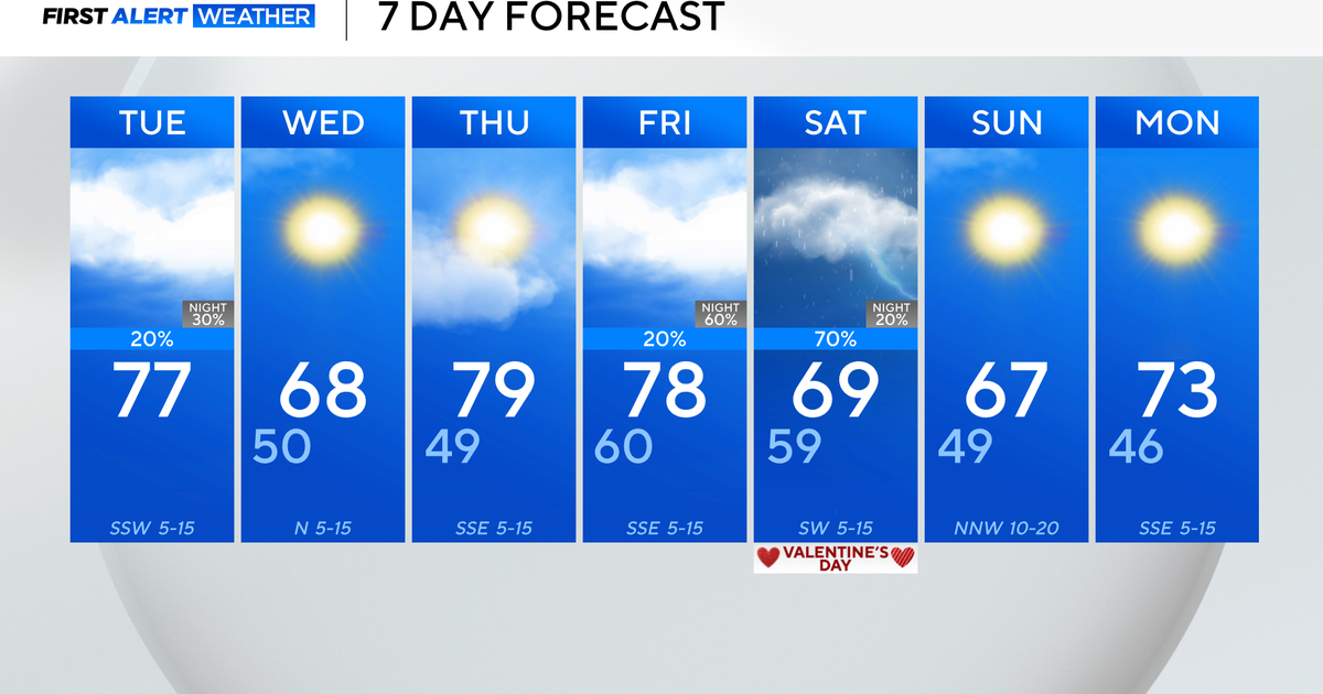
The core of the cold air and parent upper level low will stay to our west for the event so we actually won't feel the real chill that this system is capable of...but WSW winds will continuously advect in colder air and by the weekend our daytime highs will be around 60...more seasonable. There will also be an upper level shortwave passing over on Saturday which will produce a day similar to today...intervals of clouds and sun and a passing sprinkle. Aside from that sprinkle though we are looking at a dry weekend.

