On Second Thought...Midweek Not Looking Good
I tried, I really tried. Yesterday the Euro was hinting at a wave coming up the coast for midweek. Really? I looked for drier, easier, and more friendly options. The GFS and Canadian were pushing the wave far enough a way. Obviously, went with the Sunshine...then The GFS finally caught on at 06 Z. Game set match. Low coming up the coast for midweek with rain and east winds. The midweek looks ruined. Time to go back to the drawing board and analyze the whole thing. Flush this mornings pleasant 7 day forecast down the drain. Nothing about this looks nice...so let's get to it shall we?
The Good news is the warm up is still on for tomorrow as temps will climb into the 70's. Clouds will be the X factor to help keep temps cooler from what they other wise could be in significant sunshine. If we breaking into any substantial sun tomorrow we reach 80...if not mid 70's...for many, 60's at the coast...not too bad.
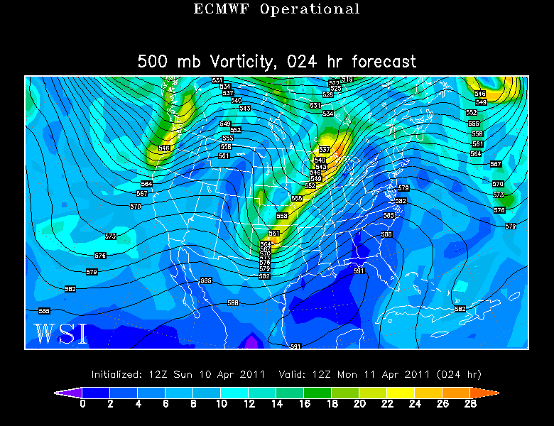
Upper level ridge in place for the east coast will shift unseasonal warm up and down the east coast Monday. Severe weather will be breaking out in the Ohio Valley. The problem for the mid week lies in a trough split which will occur as northern stream energy will break away leaving the southern energy behind. This southern shortwave is filled with a cool pool of air aloft spreading east from the Rockies and the desert SW where it has been snowing at Tahoe and Sedona, AZ
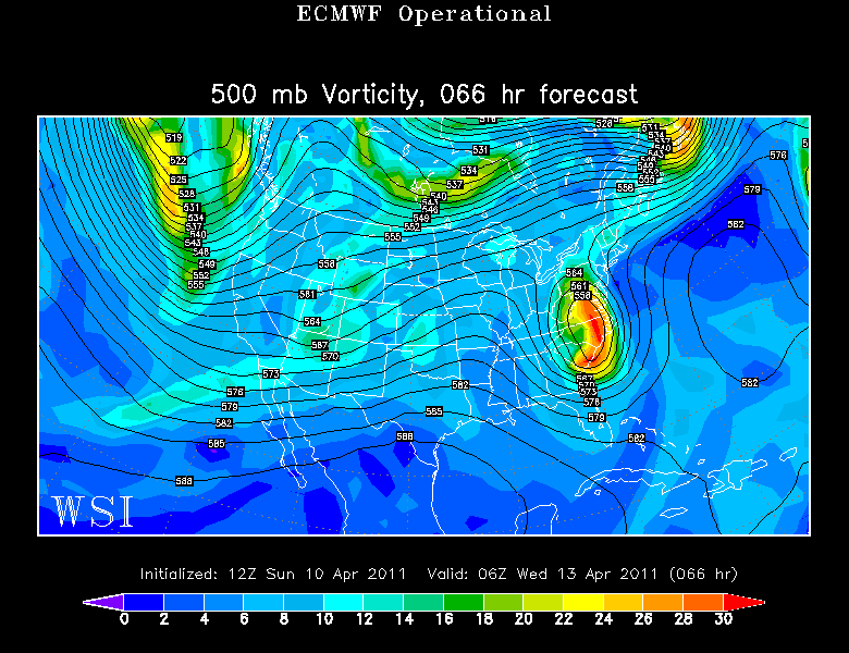
So yes a cold front will be pushing through Tuesday which will start to break down the unseasonal warmth...but we have bigger problems now. Look how an upper low forms over Virginia and the Carolinas Tuesday Night. Ugly. A low will be coming up the coast with rain which will overspread the area with chilly raw east winds.
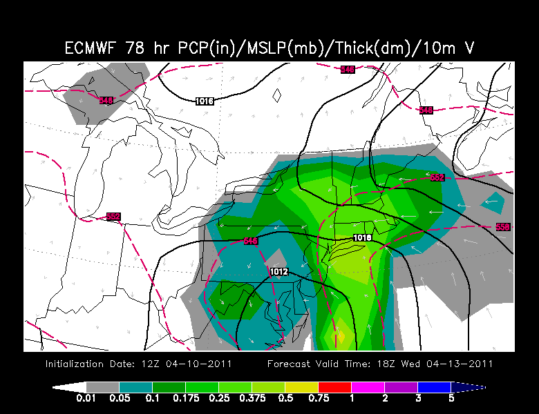
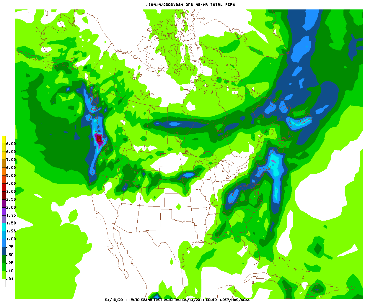
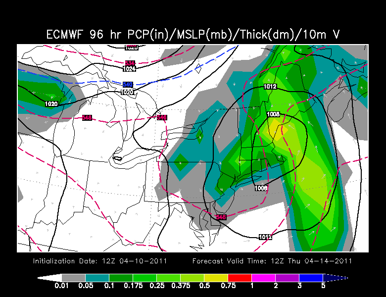
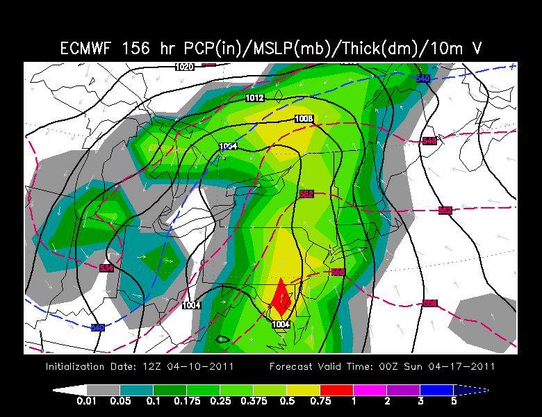
The Gfs has the rain moving in faster Tuesday and winding down Wednesday...while the Euro has a slower solution with the rain filling in Wednesday and pulling away Thursday. The Euro caught on to this first so it has support for now.
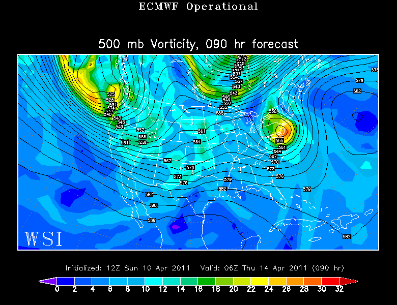
The Upper Low is still south of New England Wed night and will cross through the region Thursday still creating unsettled and inclement weather
The GFS prints out .50-1.25" of rain fall by Wednesday night in Southern New England.
The Euro on Early Thursday morning has the low moving right through us with early morning rain which will be quickly tapering off to scattered showers and drizzle. Damp conditions with east northeast winds will keep temps in the lwr-mid 40's Wednesday and maybe into Thursday. Without any sunshine...this whole forecast is a whole new ballgame.
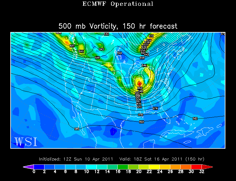
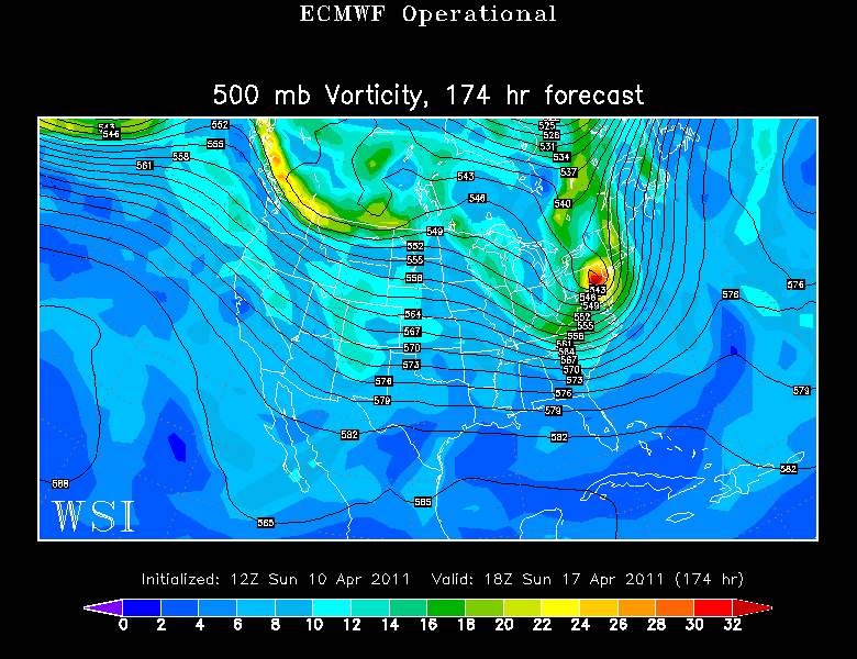
Looking ahead to the weekend we have a bigger storm which will be winding up through the Plains and heading east. The upper low will be tracking just south of New England.
The rain will be arriving Saturday afternoon and become heavier Saturday Night. The Low over New England will begin to pull away Sunday with lingering showers. Cooler air will be brought in the back side of this low for the potential for any lingering rain showers to change to snow showers Sunday night into early Monday.
So at this moment... Marathon Monday looks dry...but awfully chilly with breezy NW winds and increasing sunshine...likely in the Lwr-mid 40's
Again my apologies for the abbreviated and less than comprehensive morning discussion due to the urgent family matter. The Kids are hanging tough!
