Not So Springlike
It is officially spring, but the question is when it's going to start to feel and look like it!
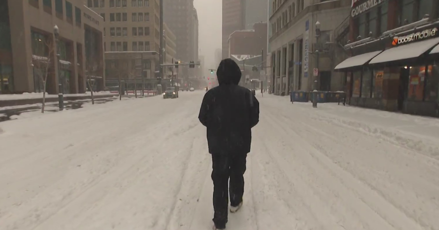
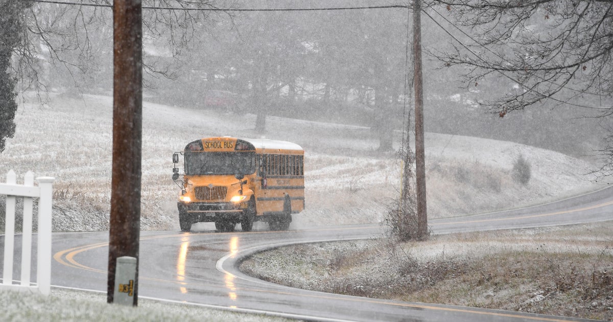
Today is the first full day of Spring with highs only nearing 40F (average high: 48F). Additionally, a few coastal flurries and light snow showers will develop throughout the day, especially for southeastern Mass.. It's Spring?! Could've fooled me!
The light snow showers will add up to a coating to as much as 4" in isolated neighborhoods across southeastern Massachusetts. This is compliments of a high offshore ocean storm and a norlun trough that develops along it western/northwest periphery. The light snow will depart early Friday morning.
Friday will become partly sunny with highs still below normal in the lower 40s.
The first full weeekend of Spring will be quiet and ever-so-sliightly milder. Highs will slowly climb from the lower 40s on Saturday to the middle 40s on Sunday. Saturday and Sunday will both be filled with sunshine along with passing clouds.
Early next week, we are watching the potential of a storm, but at the moment, the storm and its energy mainly stays south of Southern New England. We will be watching this track closely with each new model run. So, for the meantime, I have kept Monday and Tuesday dry on our AccuWeather 7-Day Forecast.
One alarm clock away...
~Melissa :)


