Not Done Yet...
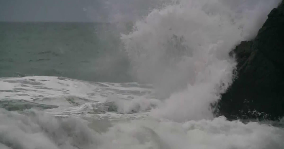
The large ocean storm responsible for a foot of snow over the Cape is still spinning hundreds of miles offshore and will continue to impact the area through early Thursday morning. We remain on the fringe of this monster occasionally getting some drops or flakes tonight under cyclonic flow. Tomorrow night, we receive the final installment of snow from this storm...1-3". Plenty of low level moisture to work with as a surface trough and 500mb vort lobe aide lift across Eastern Mass tomorrow night. Snow intensity should be light with perhaps a period of moderate snow. Boundary layer temps near the waters edge may be close to 32 so less than an inch will be possible within a stones throw of the beaches and over the Cape. Lift and moisture will wane and we'll see developing sun later on Thursday. The wind will stay strong out of the north as the cyclonic circulation continues into Friday.
The weekend looks very interesting to say the least...especially the end of it. The atmosphere will be reconfiguring itself to favor another storm on the East Coast. If last week taught us anything it's that speculating from model run to model run is a fruitless, useless and stressful effort. We shouldn't...but, because we love weather we do! Anyways, I find it hard to believe that we get nothing with the amplifying and eventually cutting off trough depicted by both models but let's hope that the 12Z EURO run doesn't varify...what a monster...uuuhhhggg!


