Nor'easter Snow To Impact Evening Commute North, West Of Boston
BOSTON (CBS) - The first snow of the season is coming thanks to a November nor'easter.
This storm has taken on a colder and colder look over the last 24-to-48 hours and snow is now going to be one of the main stories with this event.
Check: Current Conditions | Weather Maps | Interactive Radar
While there won't be a lot of accumulation, there will be enough north and west of Boston to make for tricky travel this evening and into tonight.
Gallery: Nor'easter Forecast Maps
So take out the scrapers and snow brush and throw them in your car before you head out, you're going to need them!
TIMELINE
The brunt of this storm will arrive this afternoon and last until just after midnight tonight.
Most of the precipitation with this storm will arrive in one heavy band which is forecast to pivot northward into our area by late this afternoon. This is when most of the snow accumulation will happen.
The snow will have a tough time sticking to roads, but should begin to accumulate fairly quickly on colder surfaces; grass, windshields, your back deck, etc.
If the snow comes down with enough intensity (and it will within that heavy band I mentioned), that is when we could see some sticking on the roads.
AMOUNTS
Along the coast and in Boston no accumulation is expected. Mild winds off the ocean will prevent the air from getting too cold, but some wet snow is likely to mix in at times.
From Route 128 to Route 495, a light coating up to an inch of snow is possible on the grass.
Outside of Route 495 to the north and west is where the "jackpot" will be in this storm.
We are expecting 1-to-3 inches in northwest Middlesex County and in Worcester County, with a few slightly higher amounts not out of the question in the highest elevations.
Most of the accumulating snow will end shortly after midnight, but some light snow or freezing rain may continue in the northwestern suburbs through the early Thursday morning commute, making roads a bit slick.
WIND
The wind will also be a concern. Gusts are already topping 40 mph along the South Coast and on the Cape.
By late afternoon and this evening, extreme southeastern Massachusetts, including Cape Cod and the Islands, will have wind gusts to 60 mph.
Farther north, along the coast and in eastern Massachusetts winds will gust 25-to-50 mph. This will cause some tree damage and scattered outages.
FLOODING
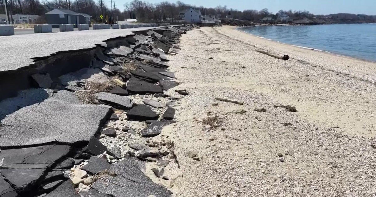
Along the coast, there will be some minor flooding near today's high tide (around 5 p.m.). The tides are not astronomically high so we are not expecting much more than some minor splashover and very rough seas, building to 15-to-20 feet just offshore.
This storm is MUCH different than Sandy, it is not nearly as powerful and will not have anywhere near the coastal impacts.
This will be more of a typical New England early winter-type storm - snow to the north and west and strong northeast winds at the coastline.
However, because of the colder nature of this event, roads will likely be more severely impacted than with Sandy, so you should leave extra time for travel this evening and early Thursday morning.
You can follow Terry on Twitter at @TerryWBZ.
