Nor'Easter Knocking: Here Comes The Snow
BOSTON (CBS) - Not much change at all in the forecast from last night...we are still in for a powerful and dangerous early season nor'easter. The most significant threat remains tree and power line damage from heavy, wet snow and strong winds. A secondary threat would be the potential for minor to moderate coastal flooding, particularly during the high tide overnight around 2AM. This will be an historic nor'easter likely breaking the record for most snow in October in all of the Major Northeast Cities, including Boston (1.1", 2005) and Worcester (7.5", 1979). Now for the details...
Check: Current Conditions | Interactive Radar | Maps | Weather Blog
Timeline: Again, not much change here either...the precipitation will begin early this afternoon to the south and mid to late afternoon to the north, as mainly rain for all of Eastern Massachusetts, a mix in higher elevations to the west. The intensity of the precipitation will increase rapidly over the next several hours and the rain/snow line will collapse to the south and east as colder air is drawn into the deepening storm on shifting winds to the north. By midnight it will be snowing just about everywhere with the exception of southeastern MA where it will continue to rain very heavily. The rain/snow line will collapse further southeast to around the Cape Cod Canal in the pre-dawn hours of Sunday morning before the storm system pulls away and the precipitation shuts off just after dawn.
Snow: There will be a very sharp gradient between the have and have-nots with this event...For instance, right along the immediate coast at Logan Airport there will likely be a minimal amount of snow, perhaps an inch or two of wet slush...just a mile or two inland in Cambridge or Brighton totals will ramp up quickly to 3" or more...from 128 to 495 totals should range from 3"-6"...6-10" is likely in a wide area of Southern New England including most of Western Middlesex County, all of Worcester County and all of Western MA and SW New Hampshire. The jackpot for snow amounts will be in the higher elevations (1,000ft and up) where a foot or more is possible...an early bonanza for ski areas. So to recap...An inch or less of slush on Cape Cod and immediate South Shore. 1-3" in Boston and immediate North Shore. 3-6" just a few miles inland to 128 to 495. 6-10" from 495 and all areas north and west. 10-12"+ higher elevations above 1,000ft. The wildcard with this storm is the timing of the change from rain to snow along the coast and in the nearby suburbs...if it occurs just a few hours early, amounts could easily increase in the Boston Metro area. Snow will be a very heavy and wet consistency, compacting quickly and weighing down on tree limbs and wires.
Rain: Areas southeast of Boston and Providence will receive very heavy rainfall, many towns exceeding 2". This will result in urban and poor drainage flooding and cause many rivers and streams to rise near bankful.
Wind: Winds will be out of the NE early in the storm gusting 25-50mph+ along the coastline and 25-35mph inland. Winds will shift to a more northerly direction later in the evening and at night and continue very strong, especially over Cape Cod and The Islands. This will pose a significant problem coupled with the heavy, wet snow and lots of foliage still on the trees. Tree and limb damage is almost certain and numerous power outages are expected. There will be a major leaf drop with this storm as well…most of Southern New England will go from near peak foliage conditions to bare in the span of 12 hours.
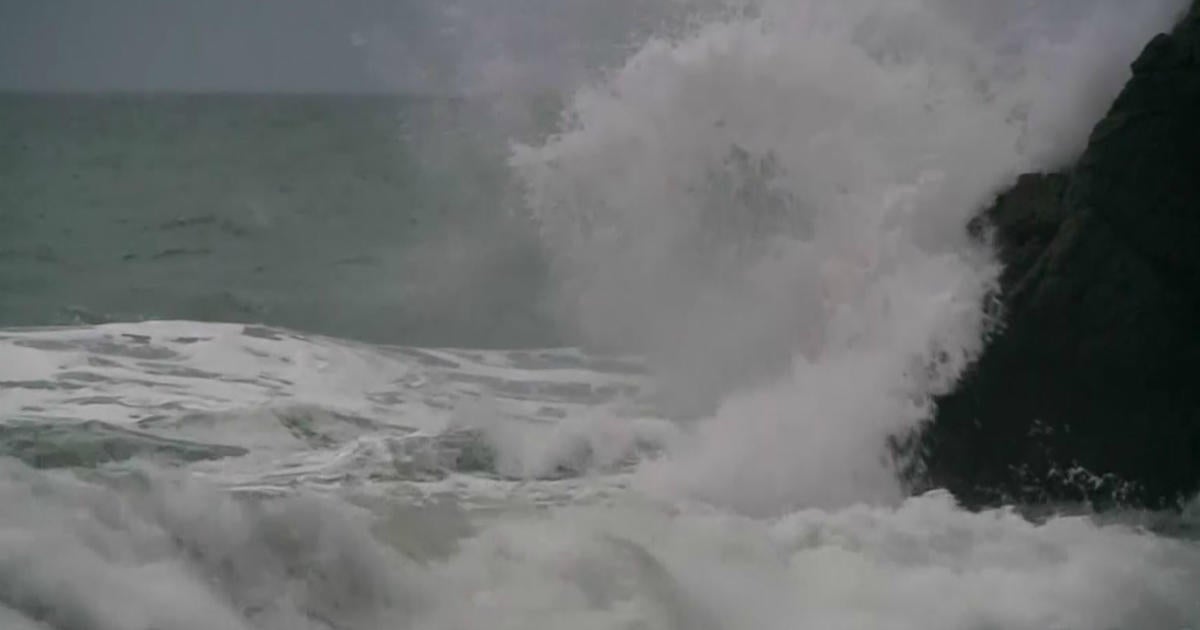
Coastal Flooding: The storm is coming during a new moon phase and very high astronomical tides. The good news is that the high tides times do not seem to line up with the brunt of the storm and NE winds. High tides are at 1:30PM Saturday afternoon and 2:00AM Sunday morning…the very beginning and tail end of the storm. This will prevent what could have been a major coastal flooding event. Minor coastal flooding is still likely during this afternoons high tide but luckily this tide occurs before the winds start to crank up. The high tide tonight is a bit more of a concern and we are expecting minor to moderate coastal flooding between 11pm and 5am. While this tide is a bit lower astronomically speaking, 10-20 foot seas just offshore and powerful winds will cause pockets of moderate flooding at the coast, especially for the more northerly facing coastline as winds will have shifted by that point.
This storm will affect the entire Northeastern Coastline from the Mid Atlantic to New England...Heavy rain changing to snow in areas like New Jersey and New York City and heavy snows inland...the greatest affects however will be felt right here in Southern New England...lucky us.


