Heaviest Snow From Nor'Easter 4 To Fall Overnight Into Early Thursday
BOSTON (CBS) - Spring is here!
Waiting for the cheers. . . Hello? Anyone? I don't blame you.
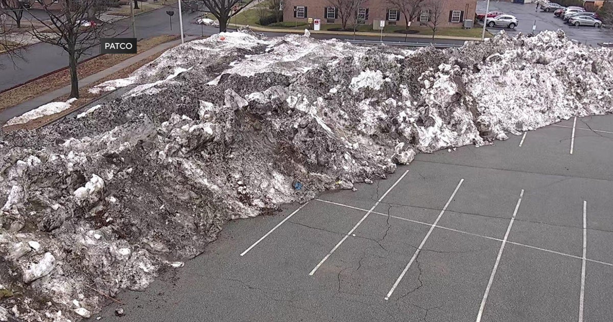
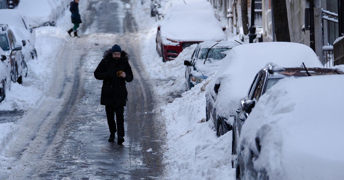
It sure doesn't feel much like spring. We haven't hit 50 in nearly three weeks. We've had more snow this month than in any month since February 2015. Looking around outdoors there are very few signs of spring. No buds, no bugs, no shorts, just dirty snow piles. And what do we have on tap for our first official full day of spring on Wednesday? A nor'easter of course!
Boston Weather | Download Weather App
But wait! The tides may be turning. There is some good news with regards to not only Wednesday's storm but also our weather to follow.
First things first.
Nor'easter latest:
-Models have made a definitive shift south with the track of the storm. This means a slight LOWERING of snowfall totals! That's a first!
-The snow will also (in general) be arriving later on Wednesday. The morning commute will be fine and the evening commute will also largely be uneventful.
-The heaviest snow and majority of the accumulation will occur between 8 p.m. Wednesday and 6 a.m. Thursday, mainly an overnight event.
Snow Timeline:
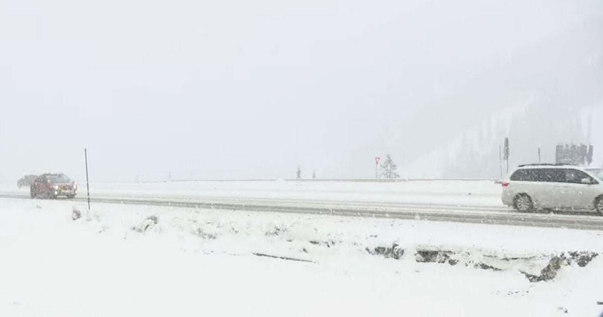
First flakes will arrive Wednesday morning along the South Coast and Cape, mixing at times with rain over the Outer Cape and Islands. The snow shield will very slowly push northward through the morning and early afternoon, covering most of southern New England by the PM commute. Most of the snow that falls during the daylight hours on Wednesday will not accumulate. It will be spotty (steadiest to the south of Boston) and largely just melt on contact. For this reason I would not anticipate much travel trouble during the day on Wednesday.
After dark, the snowfall intensity increases a bit (still not nearly as heavy as the last few storms), and a steady accumulation begins. So we will call the "brunt" of the storm between 8 p.m.-6 a.m., this is when the majority of the snow will accumulate.
By sunrise on Thursday the snow will be winding down with just some scattered, diminishing snow showers during and after the AM commute.
How Much:
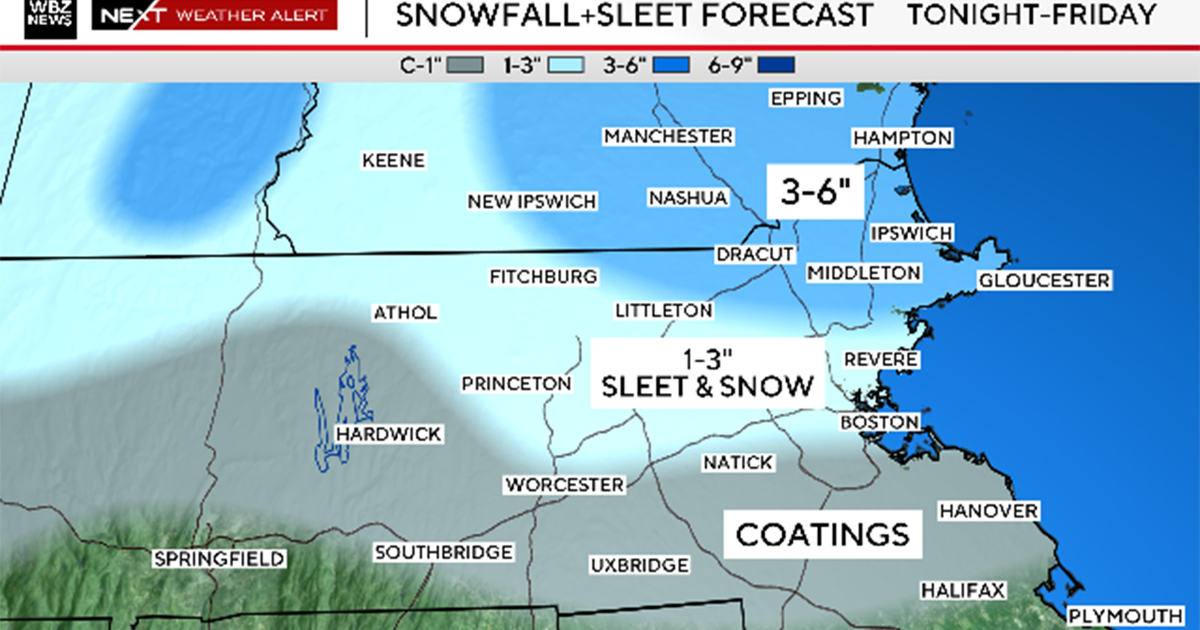
We have lowered these amounts in general by a few inches or so and pushed the bands a bit farther south as well.
5-8" Mass Pike from Worcester to Boston and areas just to the north by a few miles and to the south all the way to the Cape Cod Canal. Some higher totals in southern Worcester County to western Bristol and Norfolk counties.
2-5" Right on the immediate South Coast and Upper Cape Cod. . . also areas north and west of Boston from 128 to 495 including northern Worcester, Middlesex and Essex counties and extreme Southern New Hampshire.
Coating-2" Western Mass. to Central N.H. . . . also the Outer Cape and Nantucket.
Wind:
A gusty nor'easter but not nearly as powerful and destructive as many of our prior storms.
Wind gusts will likely top out between 40-60 mph along the immediate coastline, most notably over the Cape and Islands
Just inland, expect gusts 30-40mph.
Outages:
Certainly a concern given the heavy and wet snowfall combined with the gusty winds. Highest risk of outages would be in southeastern MA where the snow is heaviest and winds are strongest. Again, not nearly as impactful as our prior storms.
Coastline:
Highest impact at the Coastline will be in southeastern Mass. from Hull to Plymouth and also on the east and north-facing beaches of Cape Cod and Nantucket.
Expected storm surge between 1-3 feet.
Main high tide of concern is the Thursday morning high tide between 2-5 a.m. (lower threat for Wednesday afternoon tide).
Expecting mainly minor with some moderate pockets of flooding.
With waves 15-20 feet just offshore there will be more significant beach erosion.
This is the End. . . Right?
Earlier I promised some more good news. Early signs are for the next storm to be. . . wait for it. . . a miss! Granted you are likely saying, "sure, I've heard that before" but seriously the next storm is likely to miss well to our south this weekend.
And oh, by the way, the Red Sox home opener is just over 2 weeks away.
Like it or not Mother Nature, we are moving on with spring!
Follow Terry on Twitter @TerryWBZ
