Nice Sunday has Gone South...Will Monday Deliver?
Well, it was nice while it lasted. After the fog lifted... The few moments of sunshine this morning have given way to building black bottom cumulus and threat for a few afternoon showers. I think we will be able to salvage part of the day, in between the breaks of clouds there will be some partial sunshine to enjoy. But with cooler air aloft, and low level moisture currently in place, alot of these clouds are here to stay and may actually start to build with the heating of the day to deposit a few afternoon showers or even a thunderstorm inland. High temps will be climbing into the lwr-mid 60's inland this afternoon, but cooler winds off the water with clouds will make it awfully cool at the coast keeping temps in the 50's.
High pressure builds across the region tonight. Diurnal cloudiness will break later in the day with clearing skies for the evening. Patchy fog may redevelop during the overnight hours. Lows will drop down into the 40's overnight with warmest temps right at the coast and downtown in the mid-upper 40's.
Monday will feature surface high pressure over head and pulling off the coast. After early low clouds and fog lift, A more stable and pleasant day is likely with sunshine and a few fair weather clouds. High clouds will be advancing ahead of an approaching warm front by the end of the day. Wind will turn more southerly inland allowing temps to spike int0 the Lwr 70's for parts of western and central New England...but winds will shift onshore to keep it cooler in the 60's at the eastern facing beaches by the afternoon.
After this, the weather gets interesting. As previously mentioned, we will be tracking a low which will track up through upstate NY. It's warm front will lift into through on Tuesday with clouds, showers and a southerly wind which will allow temps to warm inland, but gusty SE winds could keep it cooler at coast in the 50's. Showers will be in NW New england in the morning and shift east during the afternoon. SW aloft will keep the moist overrunning going into Tuesday night with a cold front stalling over southeast MA. Showers will remain most steady near the coast on Wednesday with slightly drier conditions inland.
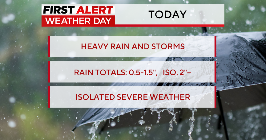
Late Wednesday into Thursday another low will track up along this stalled front moving from the Mid-Atlantic to Nantucket. Heavier rain will remain on the NW side of this track bringing the heavier rain possibly back into SNE for Wed. night into Thursday. There is the potential for some of this rain to be heavy at times with a potential of 1-3" possibly in some of these downpours toatl by the end of the week.
Once the front finally pushes off the coast, drier weather will follow in to end the week, but cooler air aloft along with an upper level low...this will keep the atmosphere unstable for Friday & Saturday. Any sunshine will trigger building clouds and the threat for a few showers. Enjoy the sunshine where you can find it. Tough sledding!

