Nice Sunday Develops...More Warmth Ahead of Showers
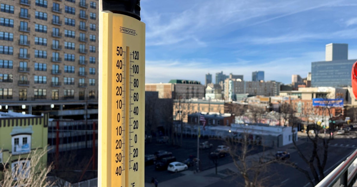
A cool winter fee to the air this morning will give way to a more fall feel by afternoon. Temps this morning at dawn were frosty with most areas starting off below freezing...excluding Logan Airport. A deck of mid level clouds moving through this morning is creating a real grey appearance to the sky in spots and adding to the winter chill. These clouds will continue to push eastward and give way to increasing sunshine by the afternoon. High pressure off the coast is wrapping in warmer SW winds which will push our highs to near 50-58 degrees. Cooler NW of Boston, warmer in SE MA.
High clouds will be increasing from the west later into the evening hours. Lows will not be as cold overnight thanks to the SW wind at the surface with lows in the 30's and Lwr 40's with most remaining above freezing. The warming trend continues Monday into Tuesday ahead of an approaching cold front. Clouds will be gradually increasing Monday..with some partial sun. Clouds will be come thicker during the afternoon. Highs will climb to near 60. Clouds will thicken Monday night with the cold front draped across NW New England. A few showers possible in the west closer to the front. Mild temps remain in the 40's through the overnight.
Periodic showers shift into New England Tuesday with the approaching front. SSW flow ahead of the front will keep the push of unseasonably mild air into Tuesday with some areas in the south climbing into the Lwr 60's...especially at the coast...despite abundant cloud cover.
Cooler air will begin to push in Tuesday Night with the front pushing to the coast. We will have to track a second wave which may provide another round of showers Tuesday night into Early Wednesday morning. This second wave will push off the coast Wednesday, with breezy cooler NW winds ushering cooler temps near 50 with increasing sunshine.
Another wave of low pressure will ride along the front but likely stay to far south of us thanks to building cold Canadian high pressure. This low will be Close enough though to spread in high clouds. Temps will be much colder in the lwr-mid 40's..Temps will start warm to near 50 Friday with WSW winds ahead of a potent cold front Friday night which could deliver our coldest air of the season so far by next Saturday the 10th with high temps only in the 30's. A big trough finally develops in the northeast...but will be short lived...it will quickly lift out as quickly as it moved in...taking the cold air with it. We know the story...no blocking to hold the cold in. But I still see an over all colder December with a more active Polar jet which will at least help to keep the snow guns going and at least give us a chance for some snow someday...somewhere..hopefully sooner than later for the snow lovers out there.