Needed Showers Not Enough....A Turn To Dry Again This Week
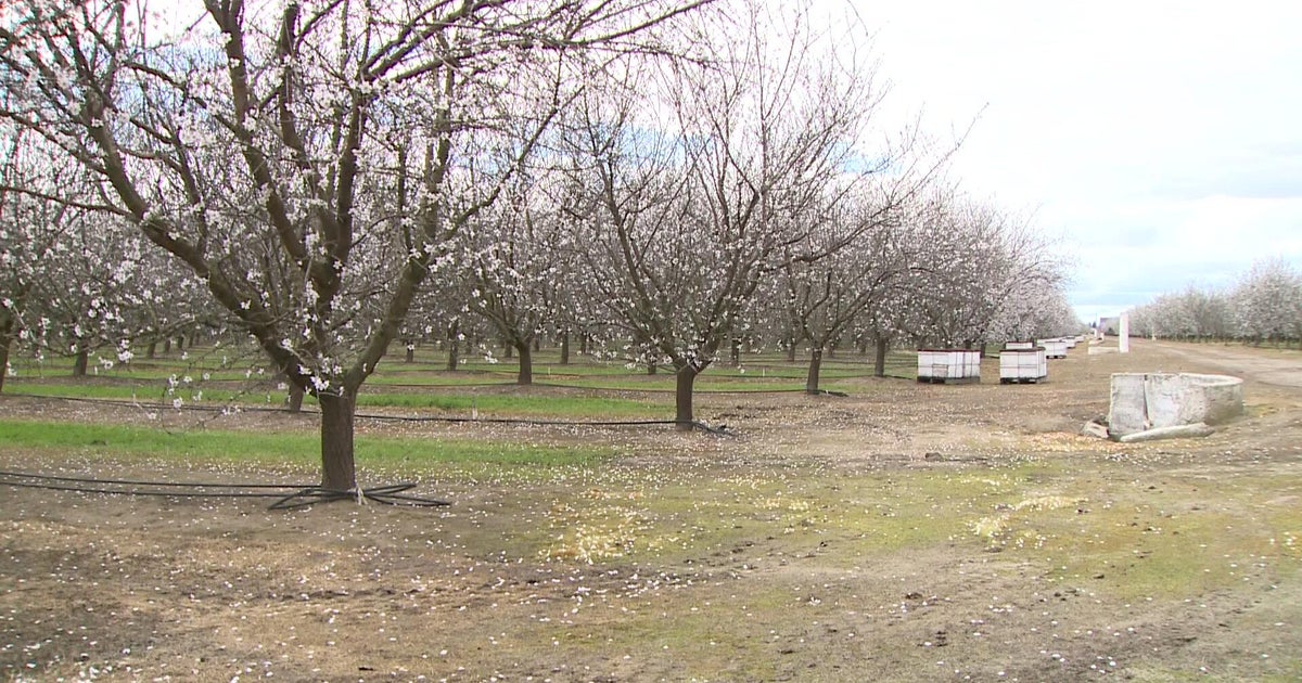
A Hard frost greeted many suburbs this morning with morning lows dipping into the mid 20's in Nashua, Bedford, Norwood, Taunton, Plymouth, New Bedford and on the Vineyard. It has been so mild this winter...It was actually one of the few mornings this year I actually had to scrape my windshield! I am sure the frost had a some sort of damaging effect on the fruit trees in area orchards thanks to their early blooming fruit. Clear skies and light winds through the overnight allowed temps to really bottom out at dawn.
It is amazing what sunshine and a South wind can do this time of year! After this frost start, temps are quickly on the rise this morning and will be climbing to 50-55 degrees by this afternoon! About 10 degrees warmer than Saturday...still it should remain slightly cooler at the coast from Boston to the Cape with more of a light SE wind keeping temps in the 40's to near 50.
High clouds are already advancing ahead of our next disturbance, a weak wave of low pressure swing in from the Great lakes and tracking through SNE late today and off the coast tonight. This is the leading edge of cooler air which will push back into New England tomorrow. Clouds will be increasing this afternoon ahead of this low with late day showers pushing into western New England after 2 PM. Showers will quickly spread eastward and reach the coast around 6 or 7 PM. Light southerly winds will keep temps in the 40's and 30's with a somewhat rainy evening in store. Showers will not be heavy...just steady which could end up producing just over a quarter inch of rain...not enough bu appreciated by our lawns and gardens.
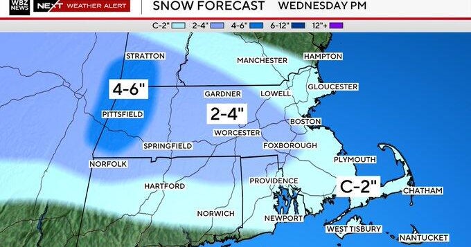
Once off the coast, the low will intensify and begin to drag in some colder air by dawn. I can not rule out some wet flakes mixing in, but right now it looks like the risk of showers will continue at the coast through tomorrow morning. Low clouds will hang tough for the first part of Monday, but high pressure sliding south out of Canada with breezy NW winds should supply enough sinking dry air to erode the clouds in the afternoon for some increasing sun with a cooler feel in the 40's
The high will slide south and begin to wrap in warmer SW winds Tuesday with temps climbing into the 50's to near 60. High clouds will be advancing ahead of our next front which should push through Tuesday night with a brief shower. Behind the front, breezy NW winds will be enforced Wednesday with sun and clouds. Cool air aloft with an upper low in the Canadian maritimes may spin in just enough instability and lift to trigger building PM clouds Wednesday with a brief shower...but temps should still be mild for this time of year in the 50's near 60.
The cooler air should shift in Thursday-Saturday with a persistent NW flow...and dry air. Plenty of sunshine to end the week with seasonal temps near 50. We should see temps warming into the 50's and 60's as the weekend proceeds.
Of course, no April 1st would be complete with out remembering nature's cruelest joke of winter storms...the April Fools day Blizzard! It just so happens to be the 15th anniversary of that crippling storm. 25.4" became Boston's greatest 24 hour snowfall...picking up 12" in just 4 hours in thundersnow! 33" fell in Worcester which still remains it's greatest snowstorm. Because of this storm, I have found everyone always remain a little cautious about writing winter off until April is through. That is pretty wise in your typical active winter pattern...but this winter is anything but typical. It was toast long ago. Hard to imagine something like that happening in this pattern with the current signals of the NAO & AO. But the storm always gives us pause....
With the dry week of weather ahead, & the advance of the growing season, talk of the current state of drought will take center stage. I will be going to the National Weather Service this week to do a report. A real good rainstorm would do a world of good. Love the raindrops tonight!
