More Snow...
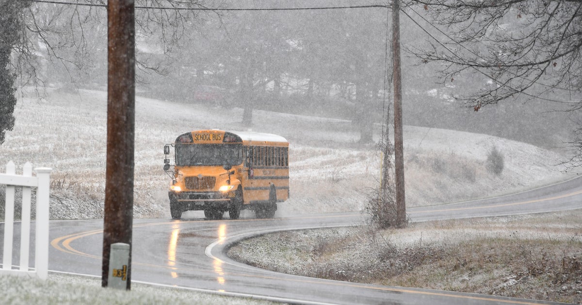
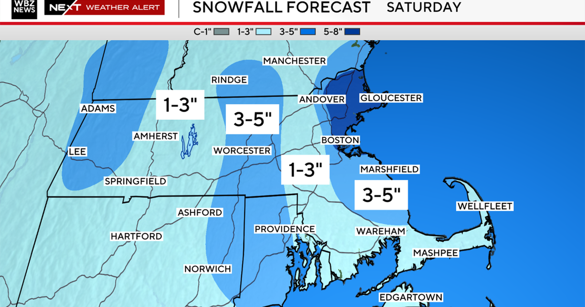
Initial band of very light snow is working in from the SW as the storm system is just now taking shape. We will be in good shape for the next few hours with periods of light snow and flurries. As the storm gets to the coastline it will begin to intensify and steadier and heavier snow bands will begin to develop between 3 - 8PM thus making a mess of the evening commute. Before the storm completely matures, there will be an opportunity for milder air to flow in off the water warming the immediate coast and parts of SE Mass which will in turn limit snow totals and may even incorporate a bit of rain towards the end of the event. As the storm is moving away from us it will strengthen in the Gulf of Maine this may augment some of the last snow bands before they exit late in the evening leading to slightly beefier snow amounts north of Boston. Most should see 3-6" with best chance for 6" in NE MA and Southern NH, 1-3" over SE MA and 1" or less for the Cape & Islands. Storm pulls away tonight with all snow out of here by midnight.
