More Clouds, More Warmth, Next Weekend?
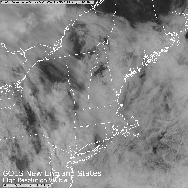
We are socked in the clouds this Sunday with cool onshore NE winds keeping temps running below normal. Very chilly at the coast with areas of drizzle and mist this morning. Temps at the beaches will likely remain in the 40's and lwr 50's. Farther inland a better chance of some warming into the 50's and Lwr 60's. with mid 60's in the CT river valley. Mostly cloudy conditions will prevail, but there is the potential for a few breaks of sun in any thinner overcast this afternoon inland.
Weak high pressure over the Canadian maritimes is supplying just enough subsidence and dry air to make today tolerable enough despite the cool cloudy conditions. 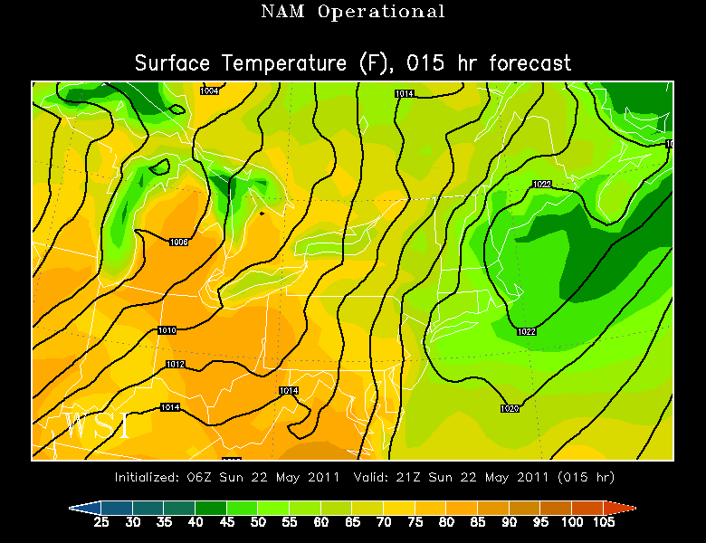
A warm front will begin to move into the region tonight. Showers along the front are already in New York state. Most of the showers should hold off until later tonight/ after midnight. Overnight showers develops and push off the coast during the early AM commute Monday. It will take much of the day Monday for the warm front to push through. This will mean more abundant cloud cover. SW winds will develop bringing warmer air from the west further east. Most locations will be climbing into the 60's with mainly dry conditions. 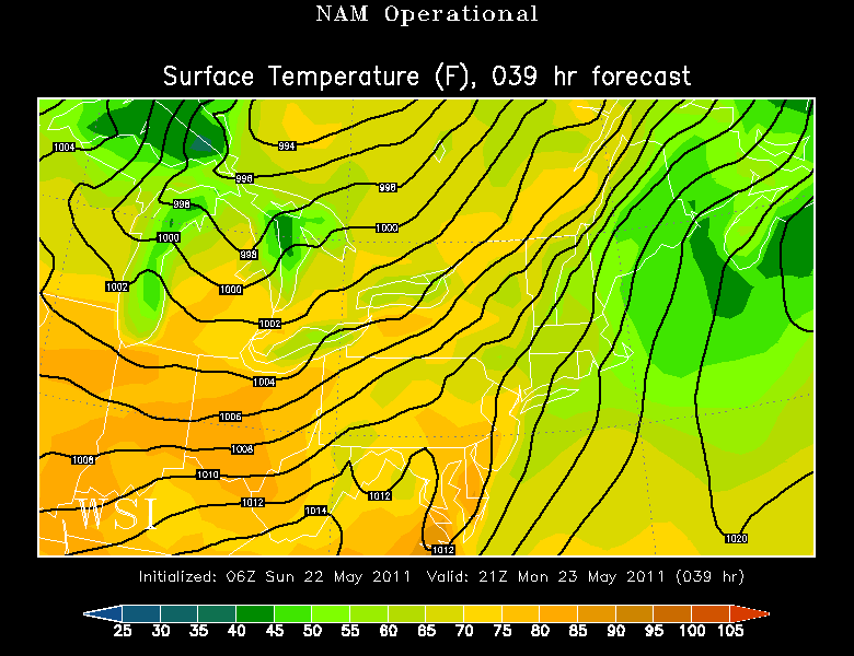
A better chance of more showers even scattered storms late Monday and Monday night.
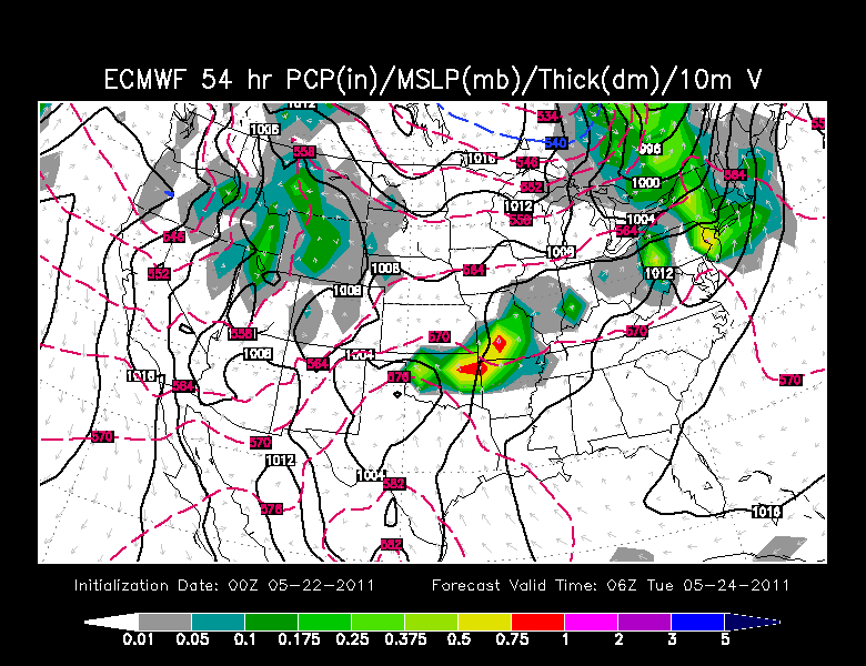
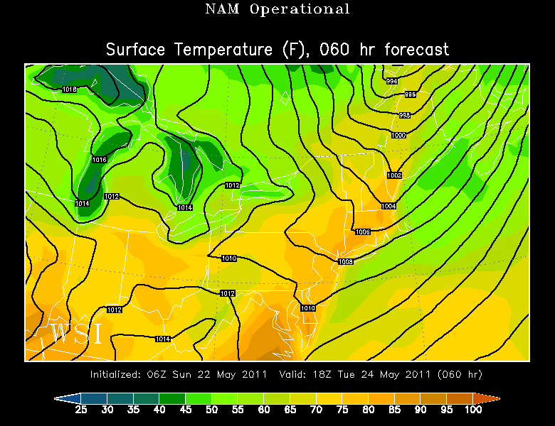
The warm front finally pushes offshore on Tuesday opening the door for some bonafide warmth! We will warm ahead of an approaching cold front with SW winds into the upper 70's and Lwr 80's. The warmest areas will be the usual suspects...CT river, Merrimack, Valley and SNH. Cooler onshore breezes for south facing coastlines. Maybe an isolated T'storm with cold front passage late in the day.
Front pushes off the coast Wednesday with winds turning back onshore. Wave of low pressure develops on the front for a rainy start to Wednesday. Temps will be back into the 50's and 60's.
The front across the south coast will begin to lift back north as a warm front Thursday which will bring us right back into the warm sector to end the week with temps climbing into the 70's...as a low from the Plains will be tracking toward the Ohio Valley. This front will likely be the focus for afternoon thunderstorms to develop on. It appears right now the focus of the energy for the best chance of showers or thunderstorms would be in the NW...meaning much of the region could end the week on the dry, warm and muggy side.
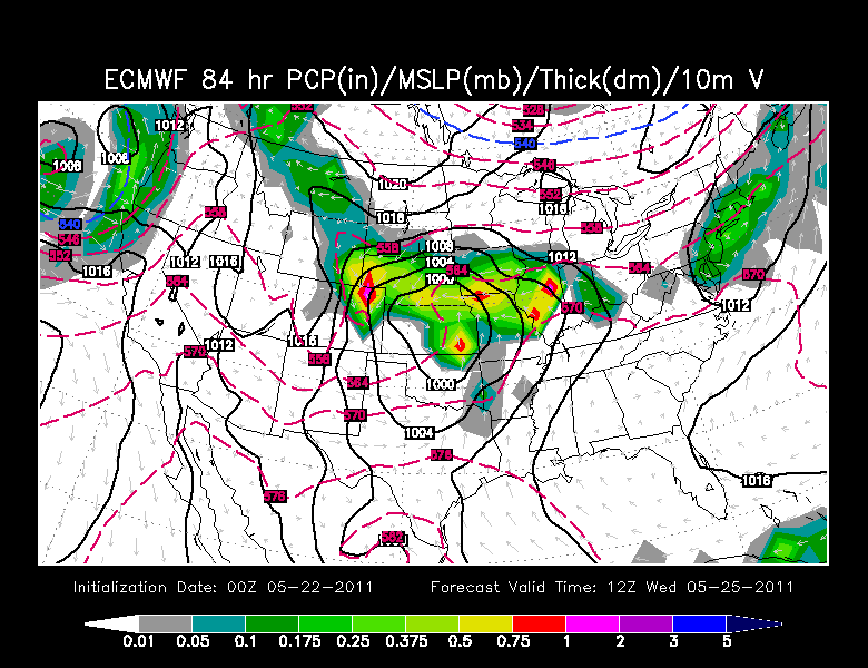
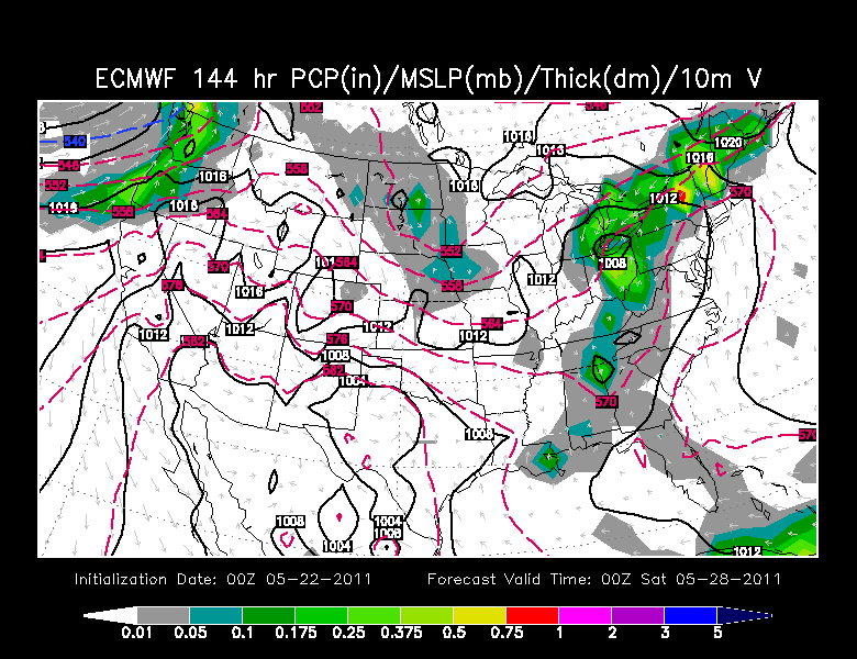
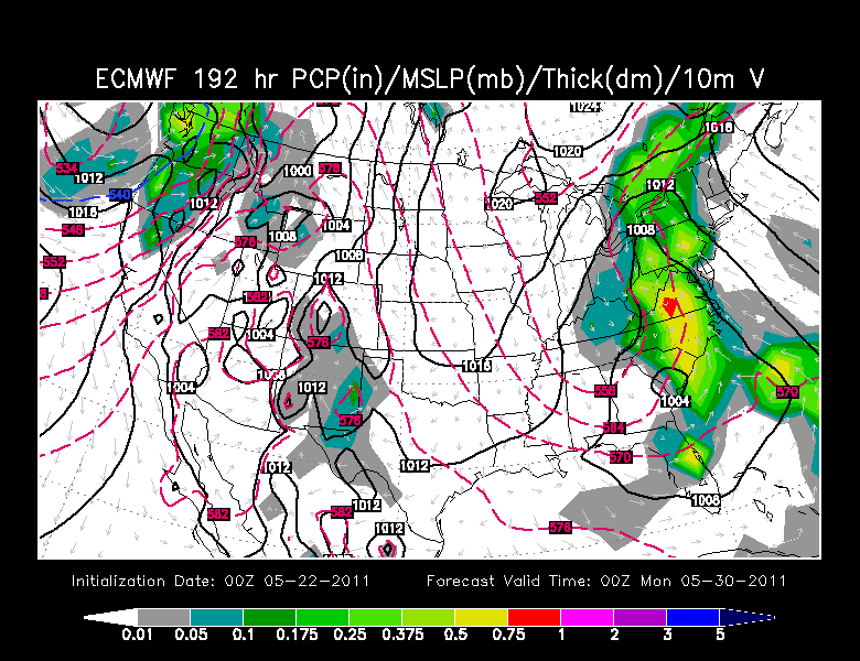
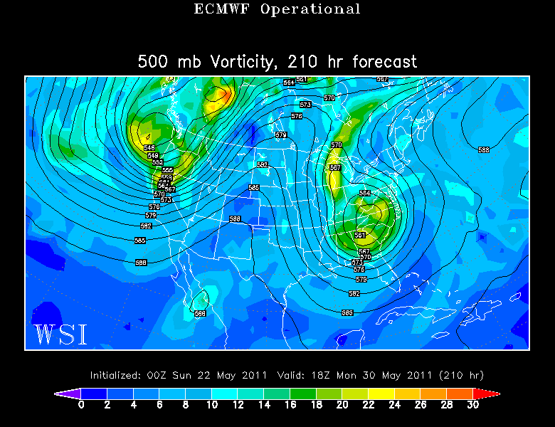
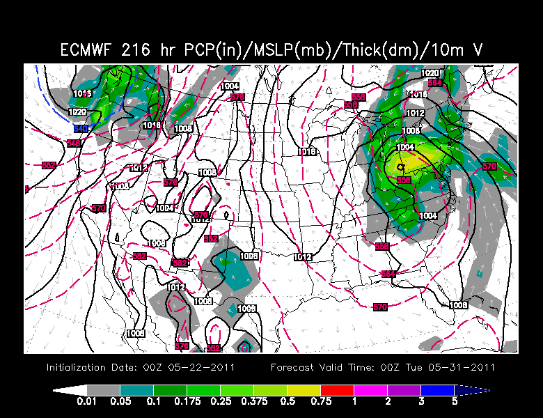
It is hard to believe, but once again an upper Low will be cutting off way south of New England heading into the Memorial day weekend. Right now it appears the main focus of the rain will be remaining west of us with heavier rains occurring in NY, the Appalachians, Mid-Atlantic, Ohio Valley, Carolinas. This could create more flooding for areas who have already seen too much water this spring.
Check out the Pattern for Memorial Day! Big upper low over the Carolinas, Ridge offshore blocking it's eastward movement. Winds aloft from the SSE wrapping in a moist feed in off the Atlantic.
If the front lifts north, we will be on the drier warmer side of this pattern going into the weekend. Clouds will be thickening, with a cooler flow backing in off the water by Sunday. Eventually the showers will get to us before the weekend is through. The GFS has been more progressive with the showers with the front stuck over us....earlier by Saturday and wetter...The Euro has been slower and deeper. I feel the GFS will start to follow on to this later solution. Either way, we have some weather to watch heading into the Memorial day weekend. It does not look perfect by any means....but hopefully we will be able to break off a few moments in the early part of the weekend before conditions should start to go downhill. Some will have it much worse than us...so I guess we can consider ourselves lucky? Sure!
