Mild Start to December, Can It Last?
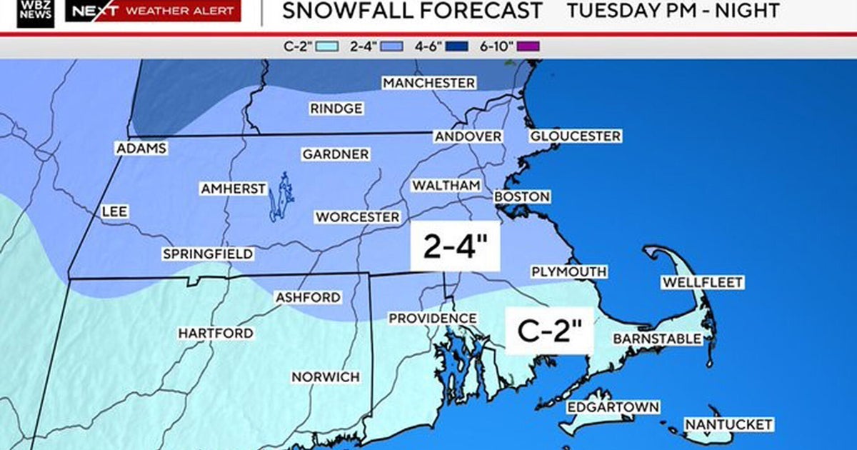
Good morning everyone... it sure is a wintry start to the month of December out there with light snow falling across much of southern New England. Sidewalks and secondary roads may become a little slick this morning and into the early afternoon as most areas see a general coating to an inch of snow (Not exactly a powerful Nor'easter)... Ironically the snow that is falling this morning is a product of warmer air which is right on our doorstep. This warm front is producing overrunning aloft as warm air is being forced over the cold dense air mass we have at the surface, and as a result light precip in the form of snow has been occurring. Light northerly winds this morning are helping to lock in the cold air. Unfortunately, temperatures will respond slowly today as highs slowly creep into the middle and then upper 30's be evening, turning any leftover snow showers to rain or drizzle for many. Overnight temperatures will continue to rise as the warm front lifts northward. Any light drizzle overnight could freeze on colder surface to produce spotty freezing drizzle in colder pockets. Low clouds and some fog will be likely into Sunday morning.
Low clouds will linger into Sunday morning with the warm front directly overhead. This warm front will slowly lift north as the day progresses. As we head into Sunday afternoon, the one similarity with today will be the cloud cover. A few breaks of sun will be possible, but the clouds will dominate as a disturbance aloft generates some mid-level altostratus clouds... However, despite abundant clouds and a low sun angle temperatures will respond to the passage of the warm front with many areas surging into the 50's! Warmest temps will be found south of Boston in the mid 50's...cooler NW of the city. So much for winter! Overnight a few showers will be possible as a weak wave cold front will push through.
Monday morning we start off mild, and temperatures will continue to rise from there as morning clouds depart for a pleasant mixture of afternoon sun and clouds. Much of southern New England will exceed 50 degrees, with middle 50's possible in Boston, the immediate suburbs and points south and east. Farther north will be cooler however as the warm front will be stalled over northern New England. This great stretch of weather doesn't end here...
Tuesday is yet another gem. Although some clouds may approach from the west ahead of a cold front, plenty of sun will be around especially early. With increasing southwesterly flow and some weak ridging, high temperatures will surge well into the 50's, with some areas possibly reaching 60 degrees. The closer we get to Christmas, the more it feels like spring!
Wednesday a cold front will be passing through associated with some potent 500mb energy. This will generate clouds and showers, mainly during the morning, with a return to at least partial sunshine fo the afternoon. We should see temperatures peak in the lower 50's for the early afternoon, but colder air will be surging in behind the cold front which will plummet temperatures by evening into the upper 30's/lower 40's.
This air mass that will be coming in behind this "cold surge" will actually be of Pacific origin. As a result, rather than us suffering through a frigid post-frontal air mass, we'll be seasonably cool with highs very close to Average in the 45-50 degree range both Thursday and Friday. In addition, shortwave ridging will propagate across the region which should inhibit cloud development and keep skies partly to mostly sunny during the day Thursday. By late day Friday we may see an increase in clouds ahead of another approaching cold front. However most of the day will be dry and quite comfortable by December standards!
Looking farther into the future (Which really is a bad idea if you're a meteorologist)... we may have a pattern change as positive height anomalies and blocking attempt to reestablish themselves in response to the strengthening high-latitude "refrigerator". In fact, one of our more reliable computer models is showing a storm developing along the east coast in the December 9th-10th timeframe. Of course, this is a long way out and is liable to change. Regardless, I hope you take advantage of this fantastic, spring-like thaw over the next few days because true winter conditions are not far away!
