Mild Morning Sun...Afternoon Storms
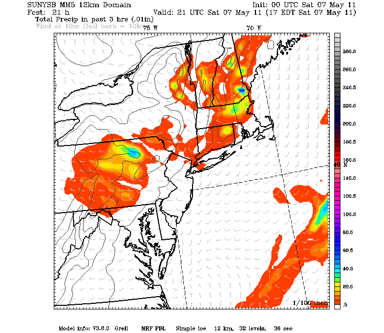
Morning sunshine with SW winds will give temps a boost well into the 60's and lwr 70's for highs today. Clouds will begin to build with the heating of the day. Expect widespread scattered showers and thunderstorms to develop this afternoon with lightning, small hail, gusty winds and downpours.
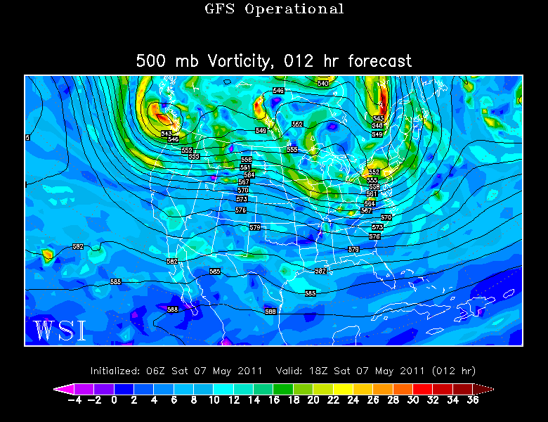
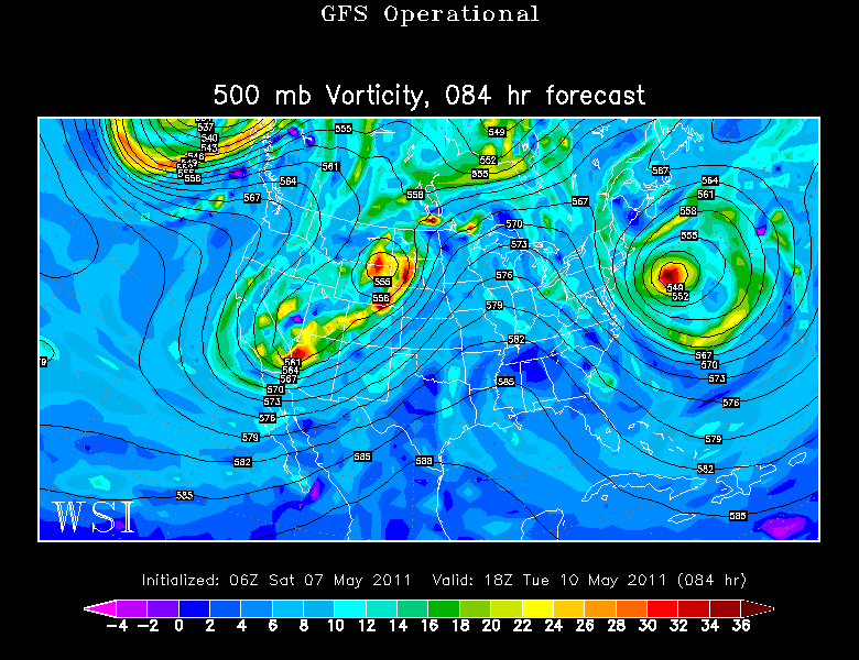
Cooler air aloft will be moving through this afternoon..along with a vigorous vort max which will track trough southern New England. As a cold front approaches from the north, expect all these elements to come together to create vertical development to the clouds which will become thunderstorms for many this afternoon.
Storms will be tracking from west to east after 1 PM. But a pop up shower or downpour is really possible at any time. Warm temperatures at the surface with colder air aloft, along with the vortmax pushing through almost guarantees afternoon convection to develop from midday through the afternoon. Widespread severe weather is not likely...with small hail in low topped convection and gusty winds. Most storms should remain below the severe weather criteria...but it would not surprise me if we see a few localized severe storms develop in these conditions.
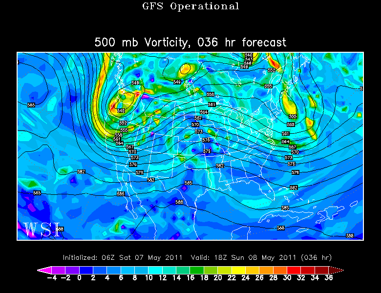
Energy coming up the coast will merge with a weak low off the coast of New England to start to form a cutoff low off the coast which will begin to impact our weather in the coming days. Cooler NE winds will settle in for Mother's day to keep the coastline in the 50's, but inland will remain in the mid 60's. Some surface convergence is possible during the afternoon as cool NE winds collide with warmer land breezes inland. Best chances of showers to develop will be in SNH and central MA away from the coast.
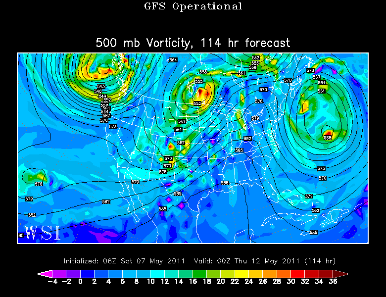
The cutoff low will begin to deepen south of Nova Scotia and start to bring in stronger winds and building swells for the coast of New England...and keep it chilly in the 50's at the beaches. The low will be close enough to wrap in periodic clouds into the coast line. In this pattern, it is hard to judge the timing of showers or when pieces of energy will rotate around the low to trigger showers. The risk of showers seems low...but there will be times we could get a bit wet...especially along the coast. Best chance right now looks like late Monday or Early Tuesday. The brightest area in this stretch will be in Western New England away from the backing maritime stratocumulus clouds.
The cutoff low will begin to pull away, but the persistent onshore winds will allow seas to build upto 8-12 feet by Tuesday with winds picking up to 30-40 mph out of the Northeast. Not nice at the coast through early Tuesday...but high pressure will be buiding in for the midweek with increasing sunshine.
Upper Level ridge will shift east for the Wed-Friday timeframe to keep things dry and pleasant with moderating temps into the 60's to near 70.
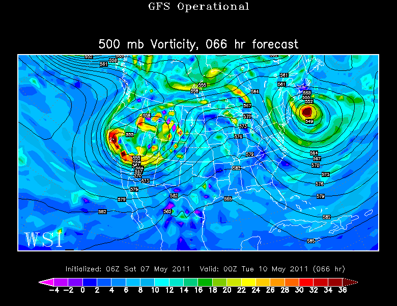
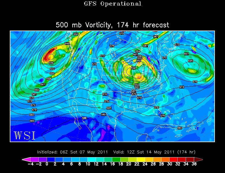
An interesting look heading into next weekend with another cutoff digging in over the Great Lakes. Hard to say how the end of the week be this far out with the complexities of this pattern . The who thing is slowing down over us as we speak. Fairly certain of a dry Wed-Thursday with the potential for a few showers by Friday. You would have to go with an unsettled look for next weekend...but this is all going to change by then anyhow. no signs of any big warm up with all these cutoff lows around. But you can see today what a little sun and a SW can do for you this time of year as some approach the Lwr 70's this Saturday.
