Mild Air Push of Air On The Move!
It's a blustery dry chill out there on this Saturday. Breezy NW winds gusting 25-30 mph are making temps feel quite chilly this morning. Lighter winds will be in place this afternoon as the high starts to push towards the region with highs climbing into the mid-upper 40's.
Check: Interactive Radar | Conditions | Blogs
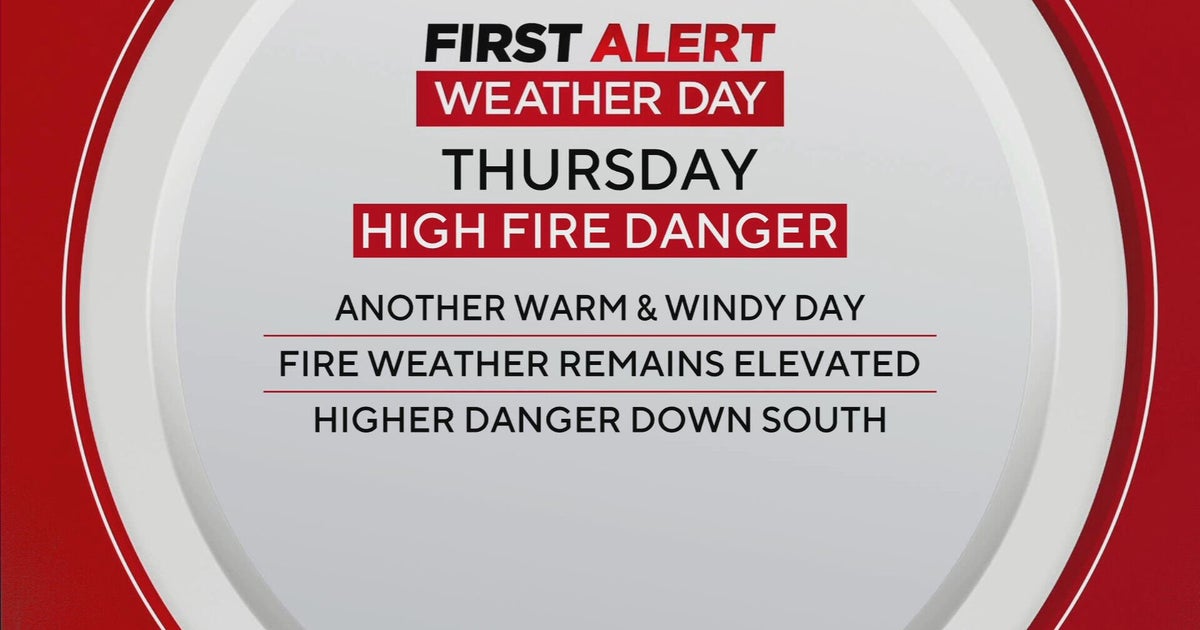
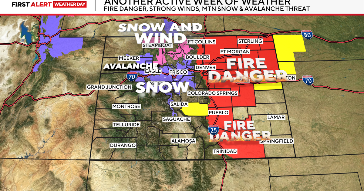
Red flag warning is in place until 8 PM because of the low humidity, gusty winds with dry brush will make for dangerous fire growth potential during the afternoon. I would not be surprised to see a few scattered brush fires pop up in these awfully dry conditions.
High pressure will slide off the coast tonight and begin to wrap in a warmer S wind overnight. Clouds will be increasing towards dawn as well as the temperatures. The clouds will be the leading edge of a warmer airmass pushing into the northeast. Cloudy skies in the morning will give way to partly sunny skies by afternoon as highs will climb into the 50's to near 60 degrees. As low pressure track up through Northern New England along the border,...Breezy SW winds will be in place all day with gusts to 30 at the south coast where it will remain much cooler with these onshore winds.
A weak cold front will push through Monday...and stall over the region. You won't notice it. It will simply act as a dividing line from mild air to the North, and Warmer air in the south. Monday will turn out to be a great day with Sunny to Partly sunny skies by the afternoon. Highs will be climbing into the mid-upper 60's inland. Winds could turn onshore to keep temps near 60 at the beaches. Any wind off the 40 degree ocean can spoil a warm up so easily this time of year. That will likely be the case Monday at our eastern facing beaches...including Fenway park...where temps will likely be falling into the 50's during the game with a light SE wind.
Another low will track from the Great Lakes and across the NNE border on Tuesday. A cold front will be pushing through with this low which could trigger a shower or two in the morning, but the mild surge of air along the east coast will still be in place along the east coast. Tuesday will likely be the warmest day with cloudy to Partly sunny skies and highs in the 60's to lower 70's.
Once that cold front pushes off the coast, cooler air will begin to follow in behind and return our temps back into the 50's to end the week with building high pressure over Hudson Bay supplying cool dry air to the region.
The boundary of unseasonal warmth, and lingering effects of a cool winter will still be in place across the nation..with the front stalled just off our coast. Periodic clouds and a shower will be possible along with the cooler feel to the air. A more significant wave of low pressure will likely develop on this boundary to provide a chilly rain to us by Friday and could possibly last into next Saturday.
Honestly, once after Tuesday, the confidence on temperature and timing precipitation is low since there are so many variations with how this pattern will play itself out with this boundary. There will be times for showers this week, times of warmth, backdoor fronts with cooler east winds. It all depends where the front eventually sets up. It is all in play for the middle to end of the week. It is something which we will continue to get a better handle of going forward. For now, let's enjoy the warmth coming. Monday and Tuesday will really bring on the Spring Fever!
