Midweek Warm-Up
There is a winter chill in the air, but that being said, it is still winter, astronomically-speaking.
Check: Current Conditions | Weather Map Center | Interactive Radar
While average highs would be in the lower 40s for early March, we are only going to make it to the middle 30s this afternoon.
Watch Melissa's Forecast:
The same will be true for Tuesday when high temperatures will be in the middle to upper 30s.
Both days will have a great deal of sunshine to accompany the below-normal high temperatures.
Midweek is going to be a 'spring tease'!
A warm front will pass to our north on Tuesday night, which will increase cloud cover for a few hours and produce a few snow showers to our far north and west.
We can give the credit to this warm front/return flow on the backside of high pressure for the springlike warmth!
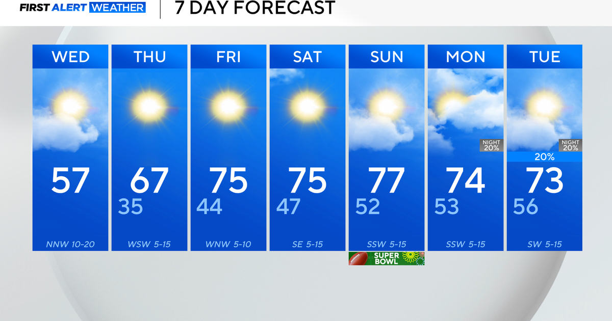
Highs will be flirting with 60F on Wednesday while we surpass 60F on Thursday!
Even better, these warm days will be in conjunction with sunshine!
However, a strong ridge and surface high will eventually lose grip as a cold front slowly moves east on Thursday night.
So, clouds will be increasing Thursday evening while showers/thunder move in Thursday night.
The rain will move out on Friday morning, and skies will become partly cloudy by the time you are driving home from work.
Temperatures will drop into the middle 40s in the wake of this cold front on Friday, and high temperatures will stay in the 40s on Saturday as well.
Sunday will be milder in the 50s.
Extra tidbit: The Full 'Worm' Moon occurs on Thursday exactly at 4:41am.
***Daylight Saving Time begins @ 2am this Sunday, March 11. Clocks 'spring' ahead 1 hour.
~Melissa :)

