Flooding, thunderstorms possible for parts of Massachusetts during Monday PM commute
By Terry Eliasen, Meteorologist, WBZ-TV Exec. Weather Producer
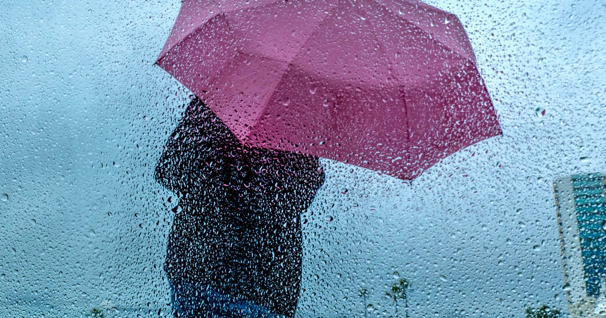
BOSTON – And the beat goes on. After a very wet weekend in many areas, it's the same old story on Monday.
The WBZ Weather Team is continuing the NEXT Weather Alert through Monday night for another round of heavy downpours and localized flooding.

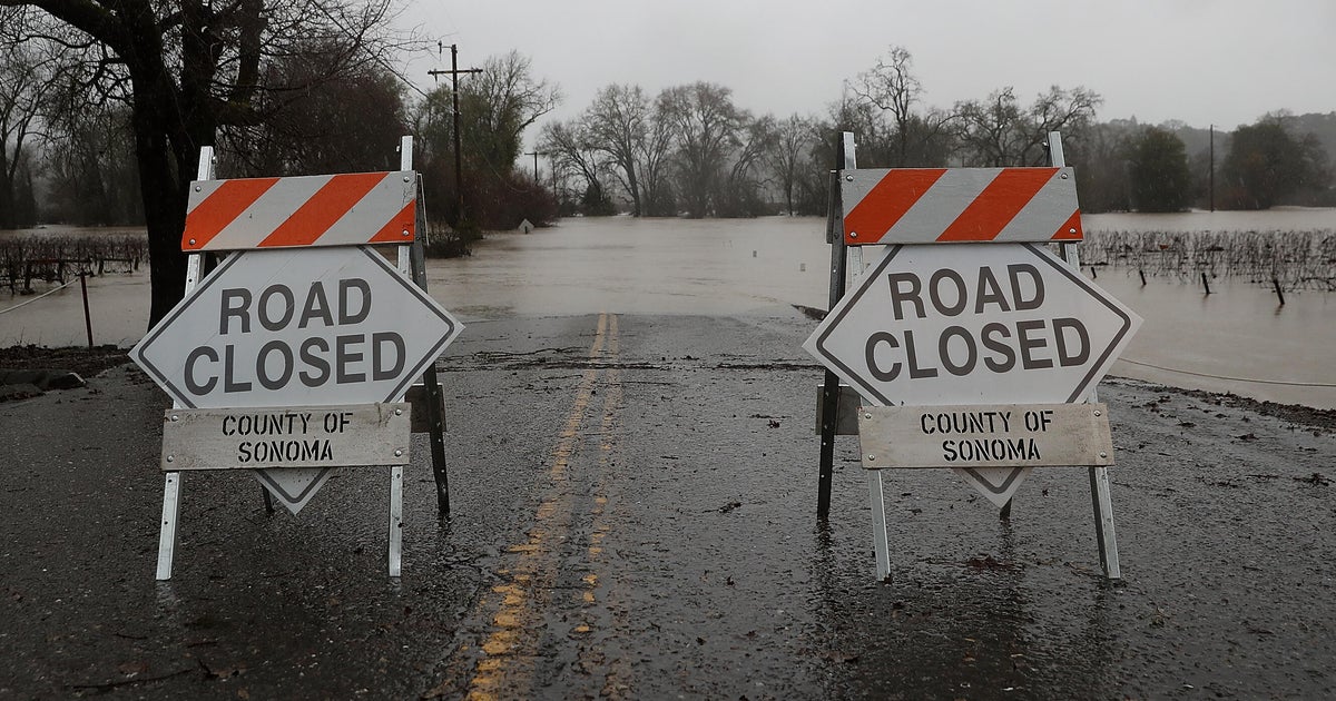
The National Weather Service has placed most of eastern Massachusetts in a flood watch through Monday night.
"Slow moving showers and thunderstorms this afternoon and evening may produce excessive rainfall leading to accumulations of 1.5 to 3 or more inches in a short amount of time. As a result, urban, small stream, and poor drainage flooding will be possible," the NWS said. "Heaviest rainfall is expected between 2pm and 8pm and may impact the evening commute. Excessive runoff may result in flooding of rivers, creeks, streams, and other low-lying and flood-prone locations. Flooding may occur in poor drainage and urban areas."
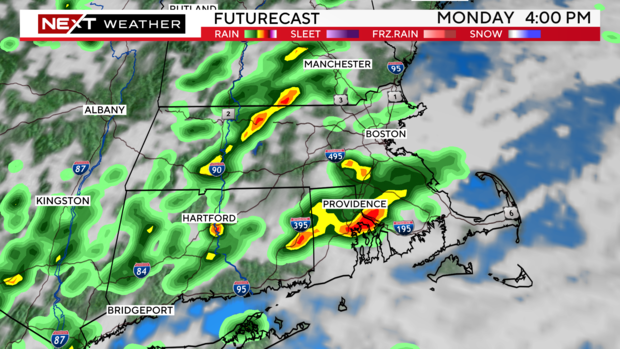
The heaviest downpours and highest impact is expected in central and eastern Massachusetts this afternoon and evening.
Things will quiet down overnight and we don't expect any impactful weather on Tuesday. While it will stay rather humid on Tuesday, other than a few scattered light showers, most of the day will be rain-free.
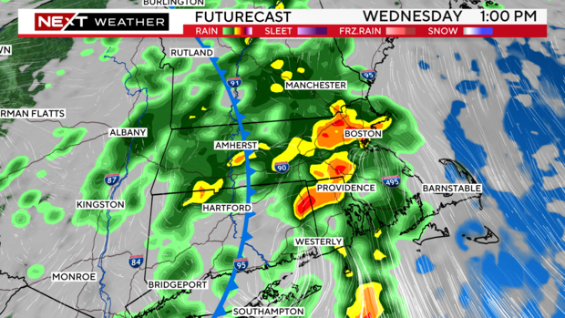
Unfortunately, we are expecting another round of soaking rainfall on Wednesday, primarily in the afternoon and evening once again.
Looking for sunshine? Thursday and Friday look great! We will see a big drop in humidity, meaning a couple of very comfy days to finish the week.
Follow Terry on Twitter @TerryWBZ