Map shows where snow will fall after rain Friday across Massachusetts
BOSTON - There is rain on the way for the final day of January. Snow lovers don't click away just yet! There is some wintry weather in the forecast Friday as well.
The WBZ Weather team has issued a NEXT Weather Alert through Friday night.
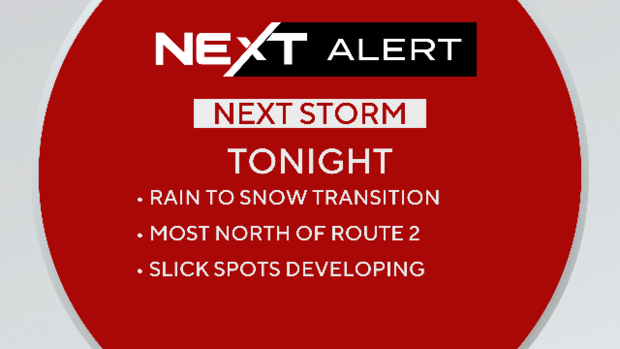
Rain changes to snow
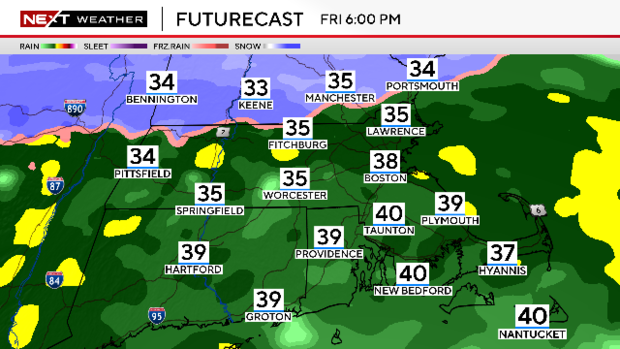
The steady rainfall will continue through Friday evening. After 6 p.m., the rain/snow changeover line will start to make noticeable southward movement.
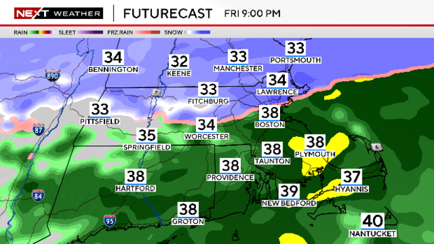
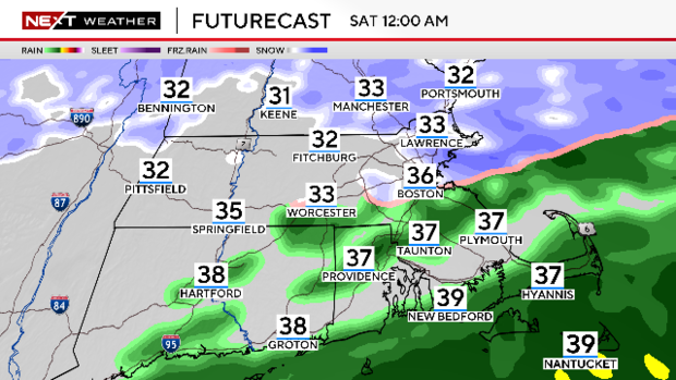
It will reach as far south as about the Mass Pike before the precipitation begins to taper off between 10 p.m. and midnight. After midnight, the steady rain and snow will be done. Thereafter, may be some leftover, scattered snow showers across portions of eastern Massachusetts.
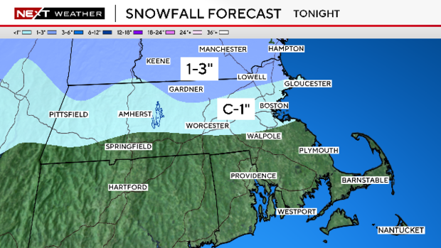
How much snow?
Most of the area will receive between .5"-1.0" of total precipitation, the majority of which will fall as rain.
Snowfall accumulations will occur after dark and will be dependent upon how quickly the cold air arrives versus how quickly the precipitation comes to an end.
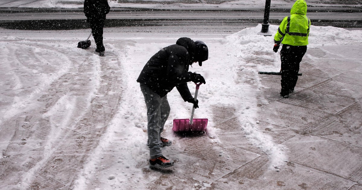
Will you need to plow? The farther north you live, the greater your chances. Elevation will also play a key role in final snowfall totals.
We are forecasting 1-3" of snow in the Berkshires, northern Worcester County and areas near and north of the MA/NH and MA/VT borders.
We are forecasting a coating to 1" as far south as the Mass Pike, including Boston and Worcester and the entire 128 and 495 belts north of the Pike.
This will certainly be a heavy, wet snow as temperatures will be quite marginal.
We will clear out quickly Saturday morning and the remainder of the weekend will be on the chilly side with highs in the low 30s.
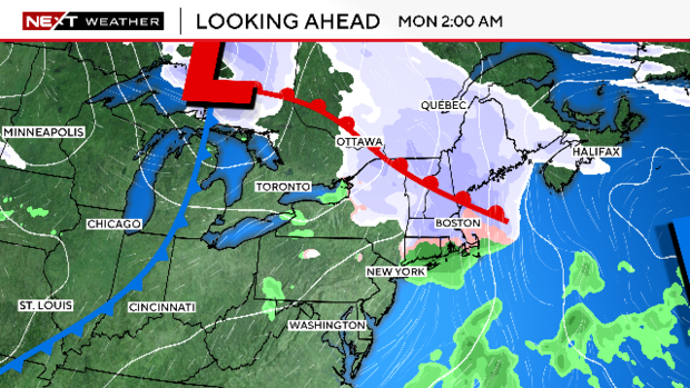
The next storm to watch arrives Sunday night. Currently that looks like a light mix of rain and snow, likely a low impact event.